Browse / Croatia / Split-Dalmatia / Pučišća
Pučišća
Split-Dalmatiavillage

Pučišća
Total population
1,529
Demographic figures from Croatian Bureau of Statistics. Overview below cites Wikipedia and may reference a different year.
City facts
Facts from Wikidata (CC0).
Overview
Pučišća is a coastal town and a municipality on the island of Brač in Croatia. It is often listed as one of the prettiest villages in Europe. It is known for its white limestone and beautiful bay. The town has a population of 1,351.
Read more on WikipediaHistory & geography
History
Archeological findings, such as an altar of Jupiter and a Roman grave stele, show that Stipanska luka was settled in Roman times. In the 11th century, there has likely been a cloister of the Benedictines and a church named after Saint Stephen. At the same time, in Pučinski dolac, which was deep in the island, a small settlement of goatherds formed. Pirate attacks forced the population to move further inland though: Pražnica was likely founded by the people of Pučinski dolac, and the now abandoned Straževnik (on the way to Gornji Humac) from Stipanska luka. Later, also refugees fleeing from the Osman invasion coming from the Dalmatian mainland settled here. Documents show sales of land for housing in 1382, 1410, and later. People from Pražnica were moving to the Pučinski dolac, and staying there. In 1411, a document mentions a church of Saint Stephen in Pučinski dolac. There are also people moving to Stipinska luka. But both localities were still abandoned a few times, to flee from attacks of Omiš pirates. In 1420, Venetian rule was established on the island, and in 1452 the Omiš pirates were finally subjugated by Venice as well. After centuries of pirate attacks, the new found peace allowed a number of families to settle and build their new permanent homes at the coast, and the name Pučišća became established. Settlers from interior of Brač, particularly from Straževnik and Pražnice, moved to Pučišća, as well as refugees from the mainland, particularly after the fall of Bosnia. But peace was fleeting. Soon, Turkish attacks as part of the Croatian-Ottoman wars became a threat. But this time, instead of giving up Pučišća, in 1467 Ciprijan Žuvetić built the first kaštel (a small, fortified tower) in the young town to counter possible Turkish attacks. Eventually,…
Geography
Pučišća lies at the end of a deep natural bay on the northern coast of Brač, which in the summer months gives its harbour protection from the winds of the open sea. The bay splits in two arms, Stipanska luka ('Stephen's harbour') to the east and Pučinski dolac ('Pučišća's valley') to the west. From the waterfront, the island rises quickly, giving the town an amphitheater-like appearance. Suggestively, the deepest point of the harbour is called Talija. Pučišća is connected to the rest of the island via the municipal road Ž6161 to Postira, loosely following the northern coast of the island westwards, and the serpentine municipal road Ž6193 to Pražnica inland. A street eastwards to Povlja is being built. Pučišća can also be reached by boat, although there are no regular ferry services.
Excerpted from the corresponding Wikipedia article (CC BY-SA).
Geography
Coordinates & boundaries from the US Census TIGER/Line shapefiles.
Climate
Air quality
Walkability
Amenities nearby
Wildlife & biodiversity
Earthquake history
Photos
Sights & places nearby
Notable people from here
Nearby places in Split-Dalmatia
- Pražnica2.6 mi away · pop. 371
- Novo Selo6.3 mi away · pop. 152
- Kostanje8.2 mi away · pop. 605
- Podgrađe8.7 mi away · pop. 280
- Seoca8.9 mi away · pop. 140
- Murvica9 mi away · pop. 21
- Jesenice9 mi away · pop. 2,089
- Tugare9.5 mi away · pop. 885
- Gornja Brela10.1 mi away · pop. 128
- Dračevica10.1 mi away · pop. 89
- Gornji Dolac10.3 mi away · pop. 119
- Trnbusi10.5 mi away · pop. 162
Geography & sun
Elevation, sunrise/sunset and daylight from Open-Meteo. Solar climatology from NASA POWER.
Nearby airports
Public attention
Pageview totals from the Wikimedia Pageviews API.
Books about this place
Recent natural events nearby
Ground air-quality sensors
Recently spotted species
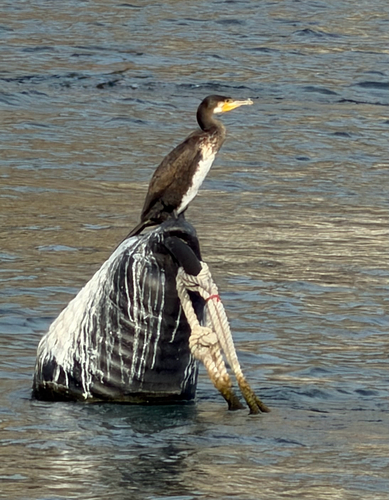
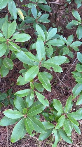
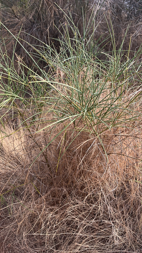
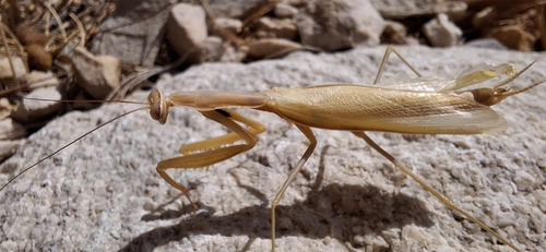
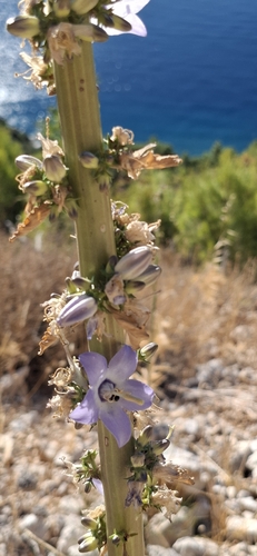
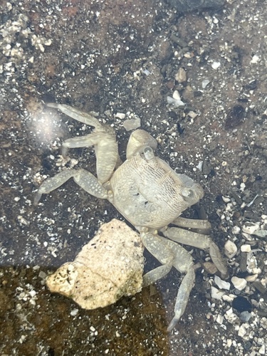
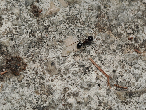
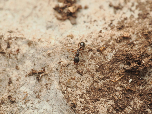
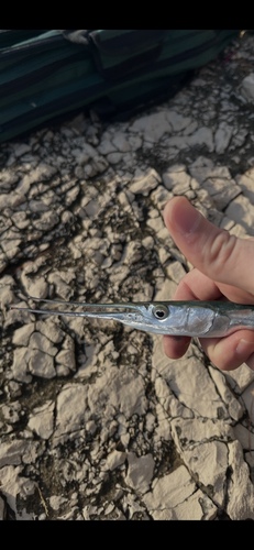
Research-grade observations from iNaturalist (within ~15 mi).
Events
Gallery
Sources
- • Wikipedia
- • Wikidata
- • iNaturalist
- • Open-Meteo / sunrise-sunset.org
- • Wikipedia Pageviews API