Browse / Croatia / Dubrovnik-Neretva / Putniković
Putniković
Dubrovnik-Neretvavillage

Featured view
Putniković
Land area13.2 km²
Coordinates42.87°, 17.53°
Demographic figures from Croatian Bureau of Statistics. Overview below cites Wikipedia and may reference a different year.
Loading additional data from public sources…0 / 11
CensusWikipediaWeatherPlacesPeopleEnvironmentHealth & SchoolsRelatedGeography & CultureLive MonitoringEvents & Gallery
0% completeCity facts
Area
13.2 km²
Facts from Wikidata (CC0).
Overview
Putniković is a village in Croatia. It is connected by the D414 highway.
Read more on WikipediaHistory & geography
Geography
Latitude
42.8729
Longitude
17.5257
Water area
—
Coordinates & boundaries from the US Census TIGER/Line shapefiles.
Climate
Air quality
Walkability
Amenities nearby
Wildlife & biodiversity
Earthquake history
Photos
Sights & places nearby
Notable people from here
I
Ivo Lendić
Croatian poet, journalist, essayist and dissident (1908–1982)
N
Nikola Buconjic

Ivo Prodan
Croatian politician (1852-1933)
S
Stjepan Krešić
Croatian classical philologist and translator (1915-1984)
People born within ~10 km, from Wikidata (CC0). Click any name for their Wikipedia article.
Geography & sun
Avg solar (kWh/m²/day)
4.36
Annual solar (kWh/m²)
1,593
Elevation, sunrise/sunset and daylight from Open-Meteo. Solar climatology from NASA POWER.
Nearby airports
Public attention
Wikipedia views (last 30 days)
26
Avg daily Wikipedia views
1
Attention level
Obscure
Pageview totals from the Wikimedia Pageviews API.
Books about this place
Recent natural events nearby
Ground air-quality sensors
Recently spotted species
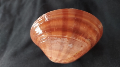
Smooth Clam
Callista chione
Seen 2026-09-16
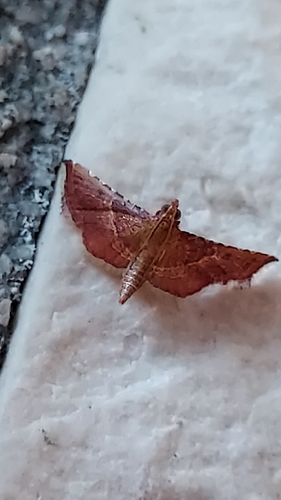
Rosy Tabby
Endotricha flammealis
Seen 2026-09-15
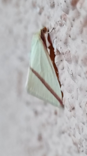
Vestal
Rhodometra sacraria
Seen 2026-09-15
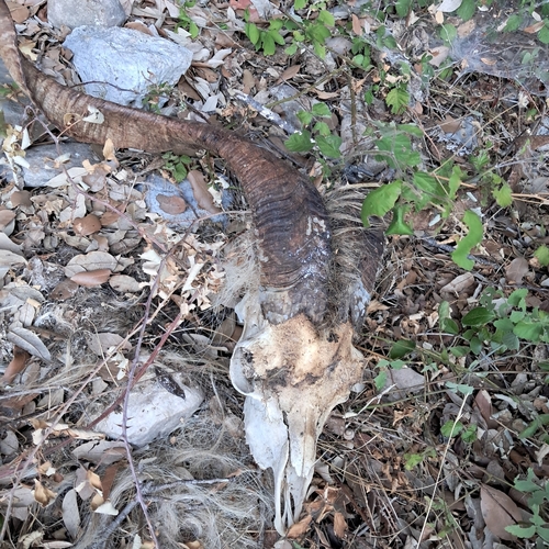
Domestic Goat
Capra hircus
Seen 2026-09-12
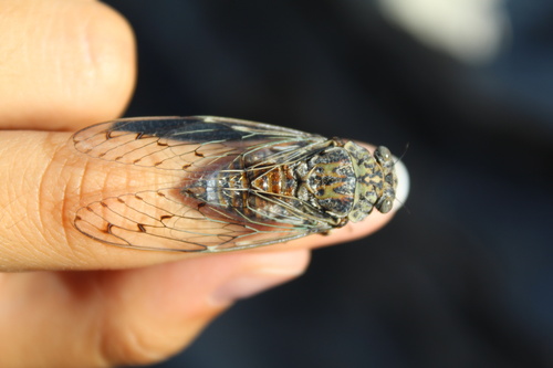
Ash Cicada
Cicada orni
Seen 2026-09-05
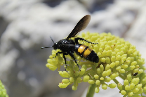
Scolia hirta
Scolia hirta
Seen 2026-09-05
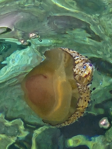
Fried Egg Jelly
Cotylorhiza tuberculata
Seen 2026-08-30
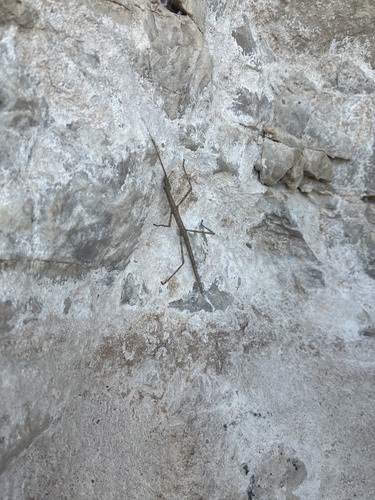
Mediterranean stick insect
Bacillus rossius
Seen 2026-08-26
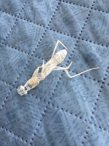
Transcaucasian Giant Mantis
Hierodula transcaucasica
Seen 2026-08-26
Research-grade observations from iNaturalist (within ~15 mi).
Events
Gallery
Sources
- • Wikipedia
- • Wikidata
- • iNaturalist
- • Open-Meteo / sunrise-sunset.org
- • Wikipedia Pageviews API