Browse / Croatia / Međimurje / Robadje
Robadje
Međimurjevillage

Featured view
Robadje
Total population
159
Land area4.9 km²
Coordinates46.49°, 16.25°
Demographic figures from Croatian Bureau of Statistics. Overview below cites Wikipedia and may reference a different year.
Loading additional data from public sources…0 / 11
CensusWikipediaWeatherPlacesPeopleEnvironmentHealth & SchoolsRelatedGeography & CultureLive MonitoringEvents & Gallery
0% completeCity facts
Area
4.9 km²
Facts from Wikidata (CC0).
Overview
Robadje is a village in northern Croatia, part of the Štrigova municipality within Međimurje County. The village is located at the border with Slovenia.
Read more on WikipediaHistory & geography
Geography
Latitude
46.4897
Longitude
16.2510
Water area
—
Coordinates & boundaries from the US Census TIGER/Line shapefiles.
Climate
Air quality
Walkability
Amenities nearby
Wildlife & biodiversity
Earthquake history
Photos
Sights & places nearby
Notable people from here

József Csárics
politician (1866-1935)

Jože Kerenčič

Ante Trstenjak
Slovenian painter (1894-1970)

Ferdo Godina
writer, children's writer and partisan
K
Katja Špur
Slovenian writer
V
Vlado Žabot
writer, journalist

Božidar Borko
S
Stjepan Šćavničar
Croatian geologist

Anton Božič
D
Drago Filipič
Slovenian economist

Franc Zadravec
Slovene literary historian

Ivan Horvatič
Slovene partisan

Janko Babnik

Jože Košar

Mirko Rajh

Rudolf Kolarič
People born within ~10 km, from Wikidata (CC0). Click any name for their Wikipedia article.
Nearby places in Međimurje
- Sveti Urban1.2 mi away · pop. 481
- Stanetinec2.6 mi away · pop. 195
- Grabrovnik2.7 mi away · pop. 274
- Železna Gora2.8 mi away · pop. 465
- Jalšovec3.2 mi away · pop. 144
- Martinuševec3.3 mi away · pop. 127
- Tupkovec3.6 mi away · pop. 88
- Vugrišinec4.1 mi away · pop. 164
- Toplice Sveti Martin4.1 mi away · pop. 50
- Prekopa4.3 mi away · pop. 234
- Čestijanec4.3 mi away · pop. 114
- Gornja Dubrava4.4 mi away · pop. 226
Geography & sun
Avg solar (kWh/m²/day)
3.56
Annual solar (kWh/m²)
1,301
Elevation, sunrise/sunset and daylight from Open-Meteo. Solar climatology from NASA POWER.
Nearby airports
Public attention
Wikipedia views (last 30 days)
15
Avg daily Wikipedia views
1
Attention level
Obscure
Pageview totals from the Wikimedia Pageviews API.
Books about this place
Recent natural events nearby
Ground air-quality sensors
Recently spotted species
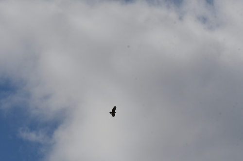
Common Buzzard
Buteo buteo
Seen 2026-09-23
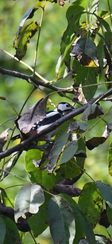
Great Spotted Woodpecker
Dendrocopos major
Seen 2026-09-20
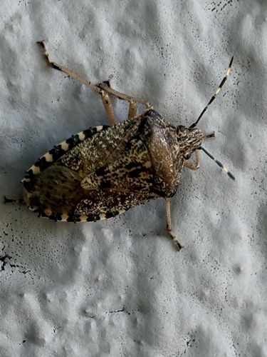
Mottled Stink Bug
Rhaphigaster nebulosa
Seen 2026-09-20
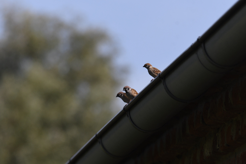
Eurasian Tree Sparrow
Passer montanus
Seen 2026-09-20
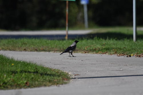
Hooded Crow
Corvus cornix
Seen 2026-09-20
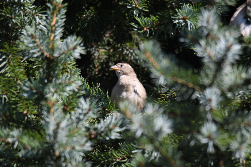
House Sparrow
Passer domesticus
Seen 2026-09-20
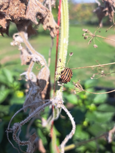
European Striped Shield Bug
Graphosoma italicum
Seen 2026-09-19
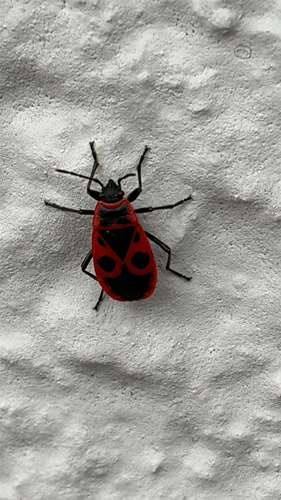
European Firebug
Pyrrhocoris apterus
Seen 2026-09-19
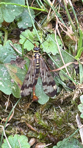
Common European Scorpionfly
Panorpa communis
Seen 2026-09-19
Research-grade observations from iNaturalist (within ~15 mi).
Events
Gallery
Sources
- • Wikipedia
- • Wikidata
- • iNaturalist
- • Open-Meteo / sunrise-sunset.org
- • Wikipedia Pageviews API