Browse / Croatia / Zagreb County / Samobor
Samobor
Zagreb Countytown

Samobor
Total population
16,911
Demographic figures from Croatian Bureau of Statistics. Overview below cites Wikipedia and may reference a different year.
City facts
Sister cities
Facts from Wikidata (CC0).
Overview
Samobor is a town in Zagreb County, Croatia. It is part of the Zagreb metropolitan area. Administratively it is a part of Zagreb County.
Read more on WikipediaHistory & geography
History
Samobor has existed as a free royal town since 1242, according to a document of endowment by King Béla IV. Since the Treaty of Karlowitz in 1699, Szamobor was part of the Habsburg monarchy, (Transleithania after the compromise of 1867), and soon after in the Kingdom of Croatia-Slavonia, created when the Kingdom of Slavonia and the Kingdom of Croatia were merged in 1868. In the late 19th and early 20th century, Samobor was a district capital in the Zagreb County of the Kingdom of Croatia-Slavonia. The DVD "Chromos" was founded in 1954, under the VZ grada Samobora.
Geography
Samobor is located west of Zagreb, between the eastern slopes of the Samobor hills (), the eastern part of Žumberak Mountains, in the Sava River valley. It is part of the historical region of Croatia proper.
Excerpted from the corresponding Wikipedia article (CC BY-SA).
Geography
Coordinates & boundaries from the US Census TIGER/Line shapefiles.
Climate
Air quality
Walkability
Amenities nearby
Wildlife & biodiversity
Earthquake history
Photos
Sights & places nearby
Notable people from here


People born within ~10 km, from Wikidata (CC0). Click any name for their Wikipedia article.
Geography & sun
Elevation, sunrise/sunset and daylight from Open-Meteo. Solar climatology from NASA POWER.
Nearby airports
Public attention
Pageview totals from the Wikimedia Pageviews API.
Books about this place
Recent natural events nearby
Ground air-quality sensors
Recently spotted species
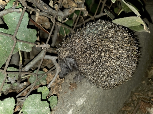
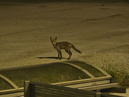
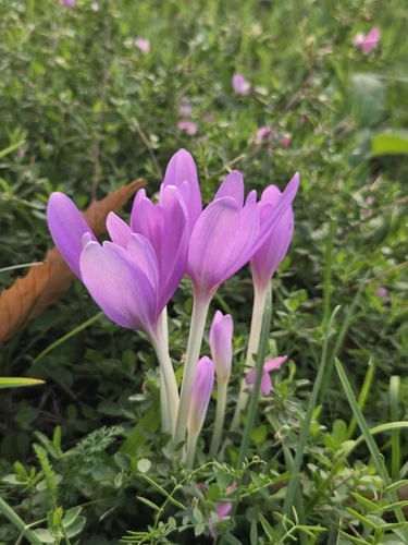
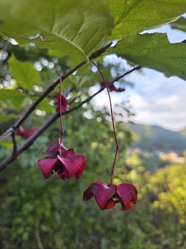
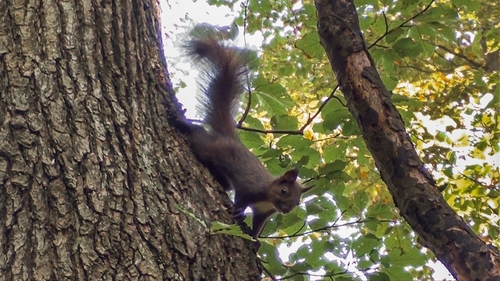
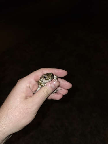
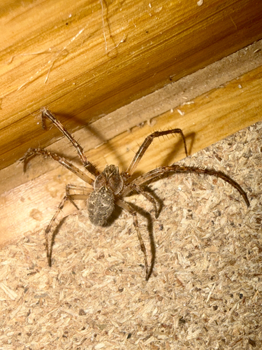
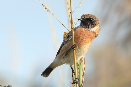
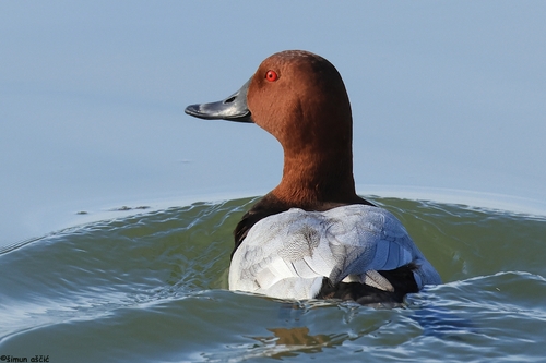
Research-grade observations from iNaturalist (within ~15 mi).
Events
Gallery
Sources
- • Wikipedia
- • Wikidata
- • iNaturalist
- • Open-Meteo / sunrise-sunset.org
- • Wikipedia Pageviews API