Browse / Croatia / Zadar / Savar
Savar
Zadarvillage
Total population
35
Demographic figures from Croatian Bureau of Statistics. Overview below cites Wikipedia and may reference a different year.
City facts
Overview
As a tiny village in Zadar, Croatia, Savar occupies its own corner of the country. The population stands at approximately 35. Located at 44.061°, 15.016°, Savar occupies a temperate portion of the northern hemisphere. Local weather statistics describe average highs near 64.3°F and lows near 59.4°F, alongside about 39.5 in of annual precipitation (a moderate total). Climatically, locations at this latitude tend to experience four distinct seasons with warm summers and cold winters. The location receives about 1,383 kWh/m² of solar irradiance per year and sunshine for roughly 54% of daylight hours. Open-data panels below dive into population trends, climate normals, environmental indicators and nearby places.
Summary composed automatically from structured open data on this page. See our Terms for details.
History & geography
History
The origin of the name Savar is thought to be an evolved version of the ancient 7th–8th-century township of সর্বেশ্বর Shôrbeshshôr ("Lord of everything") or সম্ভার Shômbhar situated on the banks of the river known today as the Bangshi. Shôrbeshshôr, in turn, is said to have been established on the site of the ancient Sambagh Kingdom. Local legends as well as archaeological finds indicate a king by the name of Raja Harishchandra Pal, said to be of the Pala dynasty, ruled over Shôrbeshshôr. There is an old shloka that goes বংশাবতী-পূর্বতীরে সর্বেশ্বর নগরী, বৈসে রাজা হরিশচন্দ্র জিনি সূরপুরী Bôngshaboti-purbotire shôrbeshshôr nôgori, boishe raja Horishchôndro jini shurpuri ("On the East banks of the Bangsabati is the city of Sharbeshvar, lives there King Harishchandra conquering Heaven"). In any case, local legend holds that the childless Harishchandra was succeeded to the throne by his sister Rajeswari's son, Damodar. Damodar's reign started a decline for the kingdom, culminating in the reign of one of his descendants, king Ravan, a music enthusiast. During Ravan's reign, the Koch invaded and sacked the capital established by Harishchandra. However, inscriptions on an undated burnt brick fragment indicate king Mahendra in 869 CE dedicated a matha to his father, saint king Harishchandra, son of king Ranadhirasena, son of king Dhimantasena, son of king Bhimasena. The same inscription also states the Buddhist king Dhimantasena invaded and captured the land between the Bangshi and the Brahmaputra and king Ranadhirasena extended the kingdom to the Himalayas and fixed his residence in the city of Shômbhar. During the 1971 war, Savar Cantonment (then Ansar Camp) and the then-newly founded Jahangirnagar University were some of the first targets of military swoop outside the…
Geography
Savar city is located at in the central region of Bangladesh.
Excerpted from the corresponding Wikipedia article (CC BY-SA).
Geography
Coordinates & boundaries from the US Census TIGER/Line shapefiles.
Climate
10-year averages from ERA5 reanalysis (Open-Meteo).
Air quality
Walkability
Amenities nearby
Wildlife & biodiversity
Earthquake history
Photos
Sights & places nearby
Notable people from here

People born within ~10 km, from Wikidata (CC0). Click any name for their Wikipedia article.
Nearby places in Zadar
- Veli Iž4.7 mi away · pop. 323
- Sestrunj6.3 mi away · pop. 45
- Ugljan6.5 mi away · pop. 1,024
- Mali Iž6.5 mi away · pop. 193
- Rivanj6.6 mi away · pop. 23
- Božava7.8 mi away · pop. 118
- Sutomišćica8.2 mi away · pop. 380
- Zverinac8.5 mi away · pop. 55
- Poljana8.5 mi away · pop. 321
- Soline8.6 mi away · pop. 59
- Preko8.6 mi away · pop. 1,250
- Kali9.5 mi away · pop. 1,585
Geography & sun
Elevation, sunrise/sunset and daylight from Open-Meteo. Solar climatology from NASA POWER.
Nearby airports
Public attention
Pageview totals from the Wikimedia Pageviews API.
Books about this place
Recent natural events nearby
Ground air-quality sensors
Recently spotted species
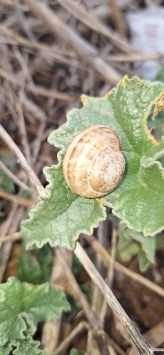
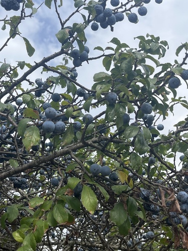
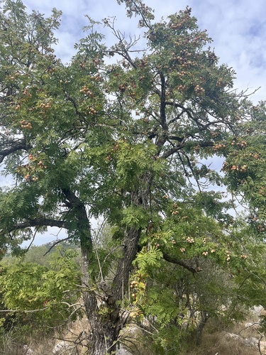
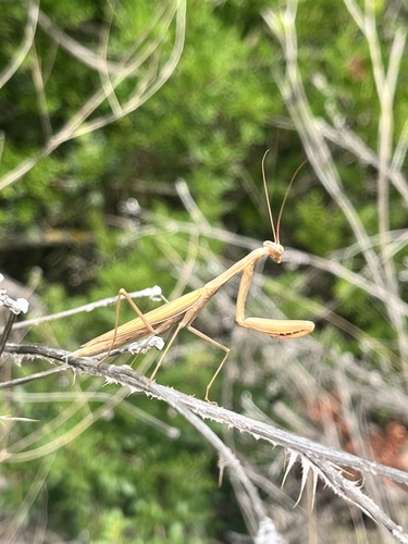
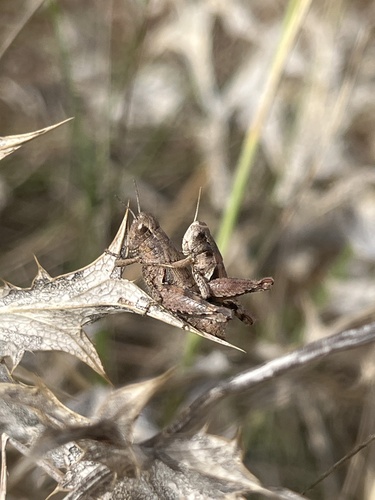
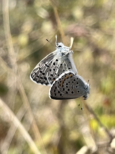
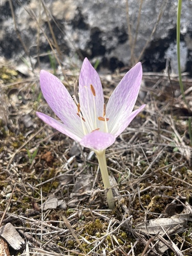
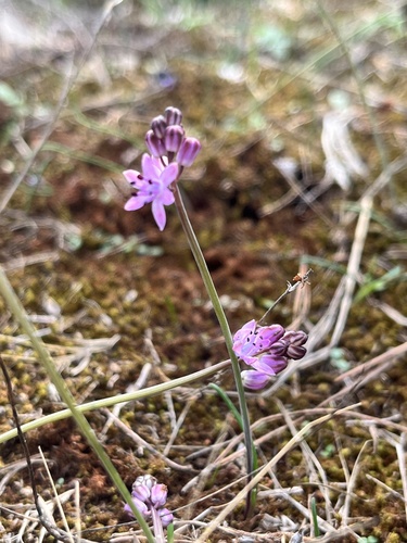
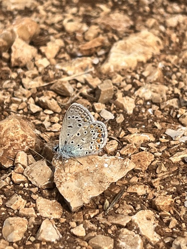
Research-grade observations from iNaturalist (within ~15 mi).
Events
Gallery
Sources
- • Wikipedia
- • Open-Meteo (ERA5 reanalysis)
- • Wikidata
- • iNaturalist
- • Open-Meteo / sunrise-sunset.org
- • Wikipedia Pageviews API