Browse / Croatia / Vukovar-Syrmia / Šiškovci
Šiškovci
Vukovar-Syrmiavillage

Šiškovci
Total population
693
Demographic figures from Croatian Bureau of Statistics. Overview below cites Wikipedia and may reference a different year.
City facts
Facts from Wikidata (CC0).
Overview
Šiškovci is a village in Croatia.
Read more on WikipediaHistory & geography
Geography
Coordinates & boundaries from the US Census TIGER/Line shapefiles.
Climate
Air quality
Walkability
Amenities nearby
Wildlife & biodiversity
Most-observed species
- Common BuzzardButeo buteo (Linnaeus, 1758) · Aves574
- Eurasian MoorhenGallinula chloropus (Linnaeus, 1758) · Aves518
- Gray/Purple HeronArdea cinerea Linnaeus, 1758 · Aves460
- Great TitParus major Linnaeus, 1758 · Aves432
- MallardAnas platyrhynchos Linnaeus, 1758 · Aves347
- Common ChaffinchFringilla coelebs Linnaeus, 1758 · Aves304
- Eurasian BlackbirdTurdus merula Linnaeus, 1758 · Aves298
- Mute SwanCygnus olor (J.F.Gmelin, 1789) · Aves292
Citizen-science & research observations from the Global Biodiversity Information Facility (GBIF).
Earthquake history
Most recent
- M 4 — 2026-05-059 km WNW of Kupusina, Serbia
- M 2.8 — 2024-01-212 km SSE of Solina, Bosnia and Herzegovina
- M 4.5 — 2023-05-195 km E of Srebrenik, Bosnia and Herzegovina
- M 4.1 — 2022-02-103 km SSE of Srebrenik, Bosnia and Herzegovina
- M 3.4 — 2021-09-206 km ENE of Maglaj, Bosnia and Herzegovina
- M 3.2 — 2020-06-263 km ESE of Zdenci, Croatia
Events from the USGS Earthquake Catalog (global) (FDSN Event Web Service).
Photos
Sights & places nearby
Notable people from here


People born within ~10 km, from Wikidata (CC0). Click any name for their Wikipedia article.
Nearby places in Vukovar-Syrmia
- Gradište4.5 mi away · pop. 2,227
- Andrijaševci4.7 mi away · pop. 1,749
- Babina Greda7.8 mi away · pop. 2,762
- Karadžićevo9.4 mi away · pop. 126
- Vinkovci9.8 mi away · pop. 28,111
- Mirkovci11.1 mi away · pop. 2,731
- Bošnjaci11.5 mi away · pop. 2,868
- Markušica12.4 mi away · pop. 1,009
- Stari Jankovci13.5 mi away · pop. 1,124
- Mlaka Antinska13.8 mi away · pop. 55
- Komletinci15 mi away · pop. 1,328
- Korog15.1 mi away · pop. 406
Geography & sun
Elevation, sunrise/sunset and daylight from Open-Meteo. Solar climatology from NASA POWER.
Nearby airports
Public attention
Pageview totals from the Wikimedia Pageviews API.
Books about this place
Recent natural events nearby
Ground air-quality sensors
Recently spotted species
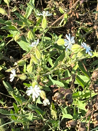
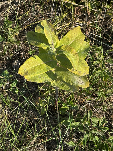
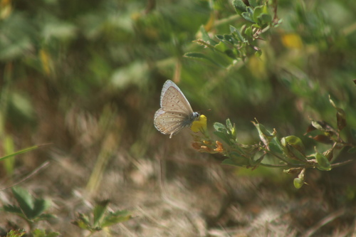
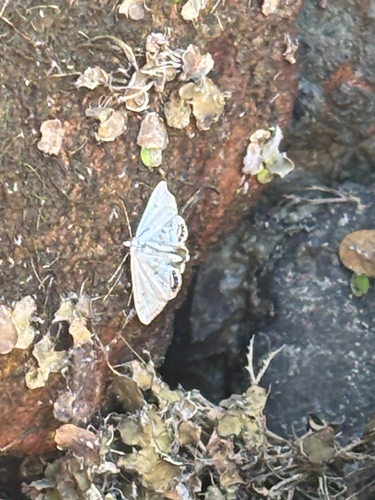
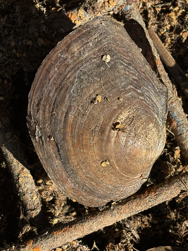
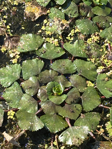
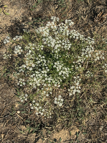
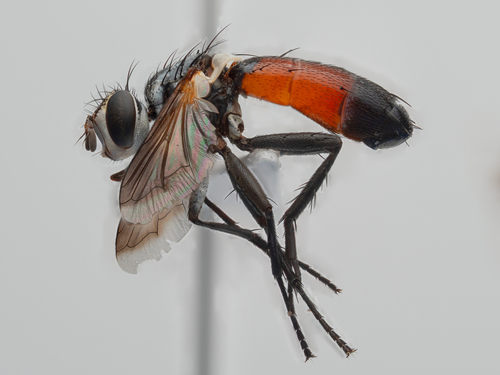
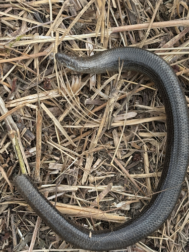
Research-grade observations from iNaturalist (within ~15 mi).
Events
Gallery
Sources
- • Wikipedia
- • Wikidata
- • USGS Earthquake Catalog (global feed)
- • GBIF (Global Biodiversity Information Facility)
- • iNaturalist
- • Open-Elevation
- • Open-Meteo / sunrise-sunset.org
- • Wikipedia Pageviews API