Browse / Croatia / Zadar / Škabrnja
Škabrnja
Zadarvillage
Total population
1,413
Demographic figures from Croatian Bureau of Statistics. Overview below cites Wikipedia and may reference a different year.
City facts
Facts from Wikidata (CC0).
Overview
Škabrnja is a village and a municipality in northern Dalmatia, Croatia, located halfway between Zadar and Benkovac, in the lowland region of Ravni Kotari. The municipality includes the village of Škabrnja with a population of 1,413, as well as the smaller village of Prkos, population 363, with a total of 1,776 residents. The total area of the municipality is 22.7 km2.
Read more on WikipediaHistory & geography
History
The first mention of "the forest of Škabrnje" dates from a medieval contract which mentions the village of Kamenjani located near Škabrnja. The village of Kamenjani itself was first mentioned in 1070, and the last time in 1700; it was a property of the Šubić family and located in the area around today's village cemetery. The oldest two buildings in the village are the two Catholic churches: the church of St. Mary in the hamlet of Ambar, and the church of St. Luke at the village cemetery. The church of St. Mary dates from the 11th century and is built from stone, forming a hexagonal shape, one of several such old Croatian churches from northern Dalmatian towns and villages. The church of St. Luke was built in the 13th century, with a Gothic dome dated 1440. It has a single nave which ends in an apsis, as well as a bell tower which was also built later. At the end of the 19th century, the Škabrnja municipality included six smaller settlements: Ambar, Prkos, Kutrovo, Marinovac, Škare. In 1878, Škabrnja had 640 inhabitants. According to the census of 1991, Škabrnja was inhabited by 1,953 people in 397 households, and the vast majority of them were Croats (97.59%). In November 1991, during the Croatian War of Independence, Škabrnja was attacked by the Yugoslav People's Army and Serb paramilitary forces, resulting in the Škabrnja massacre.
Excerpted from the corresponding Wikipedia article (CC BY-SA).
Geography
Coordinates & boundaries from the US Census TIGER/Line shapefiles.
Climate
Air quality
Walkability
Amenities nearby
Wildlife & biodiversity
Earthquake history
Photos
Sights & places nearby
Notable people from here
Nearby places in Zadar
- Prkos1.5 mi away · pop. 363
- Donje Biljane1.9 mi away · pop. 102
- Nadin2.5 mi away · pop. 406
- Smilčić3.4 mi away · pop. 248
- Zemunik Donji3.8 mi away · pop. 1,540
- Donji Kašić4.1 mi away · pop. 63
- Gornje Raštane4.5 mi away · pop. 456
- Tinj4.6 mi away · pop. 530
- Gornje Biljane4.6 mi away · pop. 170
- Raštević5.1 mi away · pop. 468
- Korlat5.1 mi away · pop. 353
- Donje Raštane5.5 mi away · pop. 499
Geography & sun
Elevation, sunrise/sunset and daylight from Open-Meteo. Solar climatology from NASA POWER.
Nearby airports
Public attention
Pageview totals from the Wikimedia Pageviews API.
Books about this place
Recent natural events nearby
Ground air-quality sensors
Recently spotted species
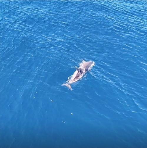
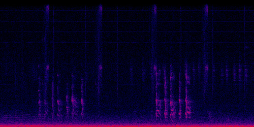
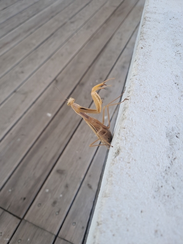
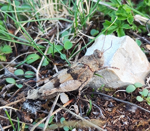
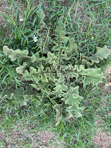
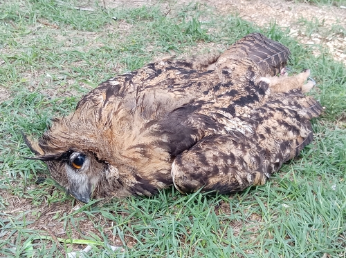
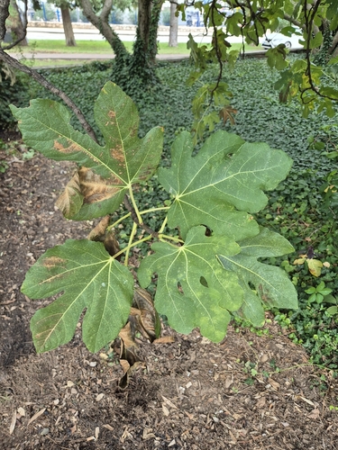
Research-grade observations from iNaturalist (within ~15 mi).
Events
Gallery
Sources
- • Wikipedia
- • Wikidata
- • iNaturalist
- • Open-Meteo / sunrise-sunset.org
- • Wikipedia Pageviews API