Browse / Croatia / Šibenik-Knin / Skradin
Skradin
Šibenik-Knintown

Skradin
Total population
508
Demographic figures from Croatian Bureau of Statistics. Overview below cites Wikipedia and may reference a different year.
City facts
Facts from Wikidata (CC0).
Overview
Skradin is a small town in the Šibenik-Knin County of Croatia. It is located near the Krka river and at the entrance to the Krka National Park, 17 km (11 mi) from Šibenik and 100 km (62 mi) from Split. The main attraction of the park, Slapovi Krke, is a series of waterfalls, the biggest of which, Skradinski buk, was named after Skradin.
Read more on WikipediaHistory & geography
History
During Antiquity, the city was known as Scardon and Scardona, a name attested in the writings of Strabo and Procopius (), Pliny the Elder () and Ptolemy (). Before the Roman conquest, the settlement was Illyrian, with the particularity of having the locally recurring suffix -ona. The prevailing theory links the root of the Illyrian toponym to a term meaning "steep", as a derivation of *sko/ard(h)-, and it has been compared with the Scardus mountains in southern Illyria. After an initial development in Vulgar Latin in the form -una, the Illyrian suffix was reflected in South Slavic as -in. The survival of several of such toponyms in the area (e.g. Solin from Salona, Labin from Albona etc) points to the continuation of Illyrian settlements since ancient times. Though initially located in present-day Eastern Slavonia and Syrmia, the Scordisci might have been allied with the local tribe of the Dalmatae, as mercenaries, which would explain their presence in Dalmatia. After the Roman conquest, Skradin became an administrative and military centre of the region, and was mentioned as a municipium in 530. During the 10th century, it was one of the fortified towns in Croatia, as the centre of the Skradin županija. In the late 13th and early 14th centuries, Skradin flourished as the capital of the Šubić bans, Paul I and Mladen II. The Šubić's built the Turina fortress on the hill overlooking the Skradin harbor. They elevated the settlement below the fortress to a free city, at which point it also became a commune, and was granted its own statute and administration. They further enriched the city by constructing several richly-endowed monasteries which housed the Dominicans, Franciscans and other Christian orders. Skradin was conquered by the Ottomans in 1522 and remain part…
Excerpted from the corresponding Wikipedia article (CC BY-SA).
Geography
Coordinates & boundaries from the US Census TIGER/Line shapefiles.
Climate
Air quality
Walkability
Amenities nearby
Wildlife & biodiversity
Earthquake history
Photos
Sights & places nearby
Notable people from here


People born within ~10 km, from Wikidata (CC0). Click any name for their Wikipedia article.
Nearby places in Šibenik-Knin
- Skradinsko Polje1 mi away · pop. 46
- Velika Glava2.9 mi away · pop. 29
- Sonković3.8 mi away · pop. 336
- Gradina4.8 mi away · pop. 258
- Konjevrate5.4 mi away · pop. 179
- Zaton5.4 mi away · pop. 929
- Dubrava kod Šibenika5.8 mi away · pop. 1,117
- Gorice6 mi away · pop. 27
- Ždrapanj6.1 mi away · pop. 15
- Vaćani6.2 mi away · pop. 120
- Čvrljevo6.4 mi away · pop. 51
- Radonić6.5 mi away · pop. 93
Geography & sun
Nearby airports
Public attention
Books about this place
Recent natural events nearby
Ground air-quality sensors
Recently spotted species
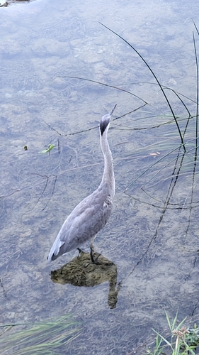
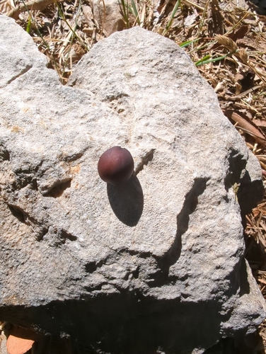
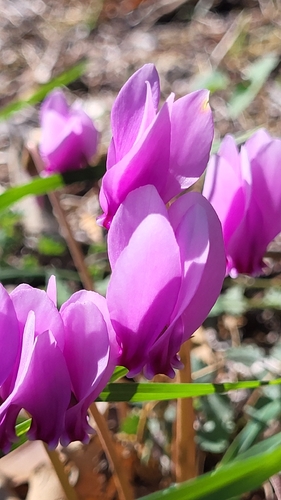
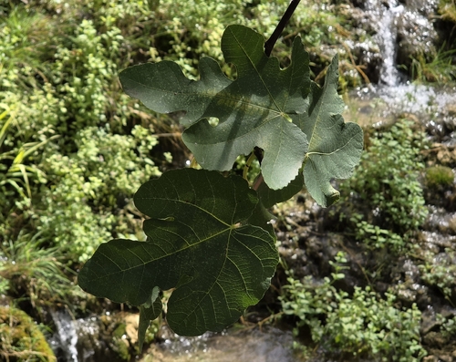
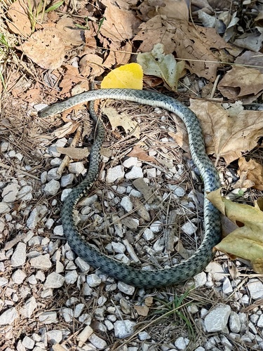
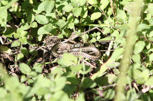
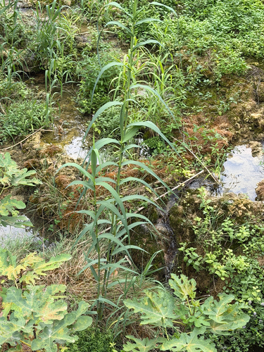
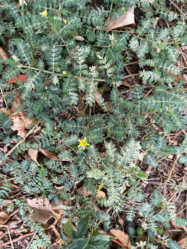
Research-grade observations from iNaturalist (within ~15 mi).
Events
Gallery
Sources
- • Wikipedia
- • Wikidata
- • iNaturalist