Browse / Croatia / Brod-Posavina / Slavonski Brod
Slavonski Brod
Brod-Posavinacity

Slavonski Brod
Total population
45,005
Demographic figures from Croatian Bureau of Statistics. Overview below cites Wikipedia and may reference a different year.
City facts
Sister cities
Facts from Wikidata (CC0).
Overview
Slavonski Brod is a city in eastern Croatia, near the border with Bosnia and Herzegovina. As one of the principal cities in the historical regions of Slavonia and Posavina, Slavonski Brod is the 7th largest city in the country, with a population of 59,141 as of the 2011 census. It is the centre of Brod-Posavina County and a major river port on the Sava river.
Read more on WikipediaHistory & geography
History
A favorable geographical location, pleasant continental climate, fertile soil and being in the vicinity of the river Sava have all resulted with the city being inhabited since a prehistoric age. The northeastern part of the city, at Galovo, recently revealed a rich deposit of the Starčevo culture, dating in the Early Stone Age. Besides the fact that this is the largest archaeological finding in northern Croatia, it proves that the locality of Brod has been inhabited for at least 8,000 years. The first historical settlement in Brod dates from Roman times, the settlement being known as Marsonia. It is still disputed whether Marsonia was a postal station, lodging for the night or an actual settlement. The Peutinger map refers to Marsonia as Marsonie, while the work "Notitia Dignitatum" has Marsonia under the name of "Auxilia Ascaria Tauruno sive Marsonia". The issue of Marsonia becoming a city has been tackled by the publishers of Ptolemy's geography, dating from the 16th century. The first geographer who located the position of Marsonia at the locality of Brod was Abraham Ortelius, who, in his atlas Theatrum orbis terrarum (Antwerp 1590) published a map, the objective of which was to reconstruct and connect the antic names of Panonian and Illyric settlements with the towns of that time. It was he who placed Marsonia at today's location of Brod. Peutinger's table clearly shows that Marsonia initially existed next to the Sava river, at the place where the Roman road crossed the river. The first Croatian expert, claiming that the Roman MARSVNNIA was located where Brod is now is Matija Petar Katančić, giving this assertion additional support. The Slavs settled in the area of the city in the 6th century. The name of the town is mentioned for the first time in Bela IV of…
Geography
The city is located southeast of Zagreb and at an elevation of . It developed at the strategically important crossing over the Sava river toward Brod in Bosnia and Herzegovina. The Bosnian city was called Bosanski Brod until 2009. Slavonski Brod is an important intersection of the Posavina part of the highway and a railway junction, since it is located on the highway linking Zagreb–Lipovac–Belgrade (E70, A3) and the Zagreb–Vinkovci–Belgrade railway. The ship port "Brod" on the Sava river is under construction. There is also a new modern highway under construction, on the Pan-European Corridor Vc, which will connect Northern Europe and Hungary with Croatia (through the region of Slavonia), and Bosnia and Herzegovina with Croatia (through the coastal region of Dalmatia). The alignment of this highway is approximately at a distance from the center of the town. With the completion of this route, the area of the town Slavonski Brod will become one of the major highway intersections in this part of Europe connecting directions west–east and north–south.
Excerpted from the corresponding Wikipedia article (CC BY-SA).
Geography
Coordinates & boundaries from the US Census TIGER/Line shapefiles.
Climate
Air quality
Walkability
Amenities nearby
Wildlife & biodiversity
Earthquake history
Photos
Sights & places nearby
Notable people from here


People born within ~10 km, from Wikidata (CC0). Click any name for their Wikipedia article.
Nearby places in Brod-Posavina
- Brodski Varoš2.3 mi away · pop. 1,829
- Podvinje2.3 mi away · pop. 3,057
- Gornja Vrba2.6 mi away · pop. 1,913
- Tomica2.9 mi away · pop. 479
- Bukovlje3.3 mi away · pop. 1,982
- Ruščica3.4 mi away · pop. 1,135
- Rastušje3.4 mi away · pop. 295
- Vranovci3.9 mi away · pop. 644
- Slobodnica4.1 mi away · pop. 1,557
- Grabarje4.1 mi away · pop. 286
- Bartolovci4.2 mi away · pop. 737
- Podcrkavlje4.5 mi away · pop. 415
Geography & sun
Elevation, sunrise/sunset and daylight from Open-Meteo. Solar climatology from NASA POWER.
Nearby airports
Public attention
Pageview totals from the Wikimedia Pageviews API.
Books about Slavonski Brod
Search results from Open Library.
Recent natural events nearby
Ground air-quality sensors
Recently spotted species
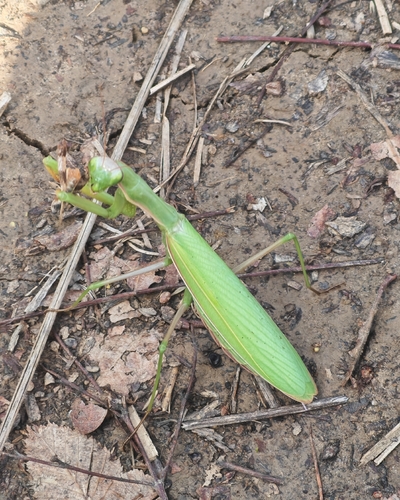
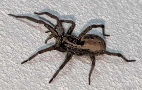

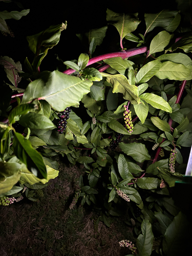
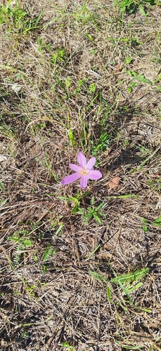

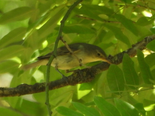
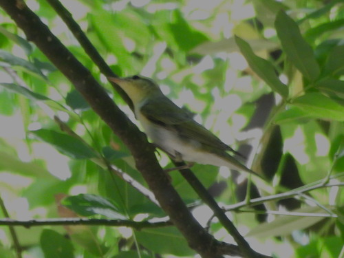
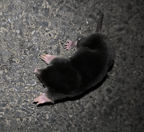
Research-grade observations from iNaturalist (within ~15 mi).
Events
Gallery
Sources
- • Wikipedia
- • Wikidata
- • iNaturalist
- • Open-Meteo / sunrise-sunset.org
- • Wikipedia Pageviews API
- • Open Library