Browse / Croatia / Vukovar-Syrmia / Srijemske Laze
Srijemske Laze
Vukovar-Syrmiavillage

Srijemske Laze
Total population
398
Demographic figures from Croatian Bureau of Statistics. Overview below cites Wikipedia and may reference a different year.
City facts
Facts from Wikidata (CC0).
Overview
Srijemske Laze is a village in Stari Jankovci municipality of Vukovar-Syrmia County in eastern Croatia. The village is physically connected with the village of Slakovci. According to 2011 census there is 566 residents in the village. The largest ethnic group in the village are Serbs of Croatia. The village is connected with the rest of the country by the D46 state road connecting it with the town of Vinkovci and continuing into Serbia as the State Road 120 to the nearest town of Šid. Surrounding landscape of the village is marked by the Pannonian Basin plains and agricultural fields of wheat, maize, common sunflower and sugar beet.
Read more on WikipediaHistory & geography
History
In the Middle Ages modern village area were populated by Catholic population. Name of place that than existed was Laz. Between 1690s and 1720s the village was abandoned when it was resettled by Eastern Orthodox population. Following Ottoman retreat from the region, the Lordship of Vukovar was established, and the village became part of its domain in 1716 until 1737 when it was transferred back to Slavonian Military Frontier. Since after the Ottoman Empire village remained deserted and empty, Austrian Empire in early 18th century inhabited village with Serbs mostly from eastern Bosnia (from Bijeljina and Zvornik) and southwestern Hungary. At that time in village was created two days of remembrance and celebration of that period. These were Socialist Slava (22 August) and Day of the Dead (14 October). Socialist Slava was created in memory of year 1943, when about 120 people went to partisans, and Day of the Dead commemorate the 56 villagers killed on 14 October 1944 when Ustaše launched a punitive expedition aimed at the destruction of partisan nests. During the war in Croatia Srijemske Laze was within self-proclaimed Serb political entity SAO Eastern Slavonia, Baranja and Western Syrmia. In the final stages of conflict United Nations Mission conducted peaceful reintegration of this region into Croatian jurisdiction. Population in Srijemske Laze decreased from 1991 till 2001 for 29.4%.
Geography
Southern edge of administrative area of village bordering Bosut river. North of the river is oak forest and after forest there are large agricultural fields. Between village itself and the southern part of administrative area village lying Zagreb–Belgrade railway. Through the village passing D46 highway. At the eastern end, village is physically connected to the neighboring village Slakovci. The village is part of Pannonian sub-region of Syrmia. The area of village is completely flat, gently sloped from slightly higher north to lower south. Word Srijemske in village name comes from Eastern Herzegovinian, Shtokavian dialect of Serbo-Croatian word for region of Syrmia.
Excerpted from the corresponding Wikipedia article (CC BY-SA).
Geography
Coordinates & boundaries from the US Census TIGER/Line shapefiles.
Climate
Air quality
Walkability
Amenities nearby
Wildlife & biodiversity
Earthquake history
Photos
Sights & places nearby
Notable people from here


People born within ~10 km, from Wikidata (CC0). Click any name for their Wikipedia article.
Nearby places in Vukovar-Syrmia
- Stari Jankovci2.3 mi away · pop. 1,124
- Berak3.5 mi away · pop. 277
- Petrovci4 mi away · pop. 643
- Mirkovci4.8 mi away · pop. 2,731
- Privlaka5.2 mi away · pop. 2,192
- Komletinci5.6 mi away · pop. 1,328
- Vinkovački Banovci6.4 mi away · pop. 117
- Banovci7.3 mi away · pop. 256
- Bogdanovci7.4 mi away · pop. 614
- Donje Novo Selo7.4 mi away · pop. 376
- Vinkovci7.4 mi away · pop. 28,111
- Tompojevci7.8 mi away · pop. 227
Geography & sun
Elevation, sunrise/sunset and daylight from Open-Meteo. Solar climatology from NASA POWER.
Nearby airports
Public attention
Pageview totals from the Wikimedia Pageviews API.
Books about this place
Recent natural events nearby
Ground air-quality sensors
Recently spotted species
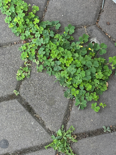
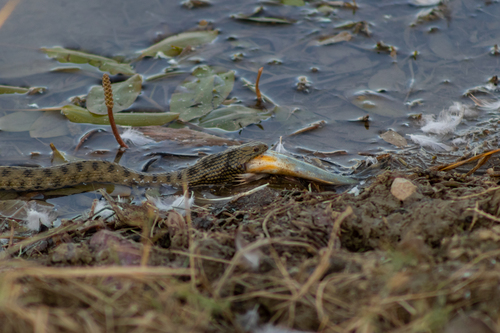
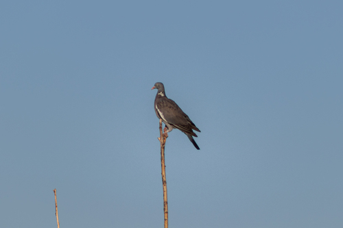
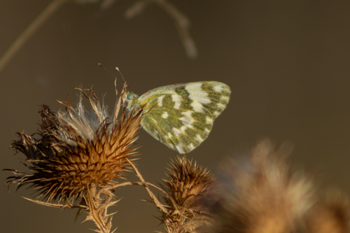
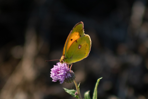
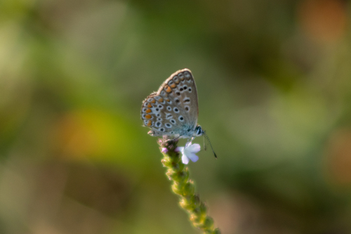
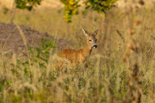
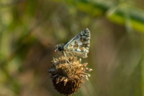
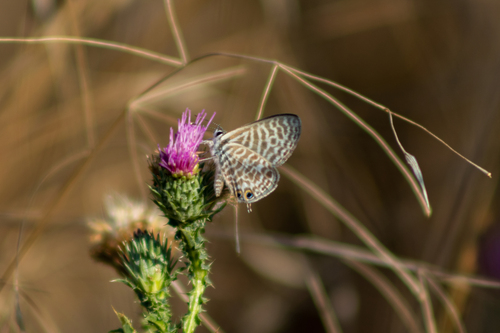
Research-grade observations from iNaturalist (within ~15 mi).
Events
Gallery
Sources
- • Wikipedia
- • Wikidata
- • iNaturalist
- • Open-Meteo / sunrise-sunset.org
- • Wikipedia Pageviews API