Browse / Croatia / Split-Dalmatia / Sumartin
Sumartin
Split-Dalmatiavillage

Sumartin
Total population
474
Demographic figures from Croatian Bureau of Statistics. Overview below cites Wikipedia and may reference a different year.
City facts
Facts from Wikidata (CC0).
Overview
Sumartin (Croatian pronunciation: [sûmartin], previously known as Sv. Martin) is a port village in Croatia on the island of Brač. It is the youngest village on the island of Brač and administratively belongs to the Municipality of Selca. According to the 2011 census, it has a population of 491. The village was founded on 11 November 1646—the feast day of Saint Martin—by the refugees from the Dalmatian coast and Bosnia and Herzegovina who fled from the Ottomans. It is connected by the D113 highway and by ferry.
Read more on WikipediaHistory & geography
History
Sumartin was established at the time of the Cretan War (1645–69), also known as the War of Candia, in 1646, when a group of Franciscan friars accompanied by a number of refugees reached the easternmost tip of the island of Brač by boats as they were fleeing from Makarska Riviera due to Ottoman raids. The newly formed village was established around the already existing abandoned small church of St. Martin which had been previously damaged but repaired by the refugees upon their arrival. As the settlement was growing in size, Franciscan friars decided to stay and began receiving more lands, encouraged by Venetian military officer Leonardo Foscolo who endowed them by a special document highlighting their merits. Meanwhile, the local population gained momentum in developing and expanding their settlement by cultivating surrounding fields and vineyards. The development of the settlement can be noticed in the church visitations which mention the following number of inhabitants of the settlement over the course of several decades: 104 in 1678, 200 in 1702, 300 in 1712, 352 in 1760, and finally 370 in 1764. Population continued to grow until 1784 when a plague struck the village, halving the number of inhabitants. Meanwhile, in 1738, the monastic choir in Sinj declared the monastic community of Sumartin as the real monastery.
Excerpted from the corresponding Wikipedia article (CC BY-SA).
Geography
Coordinates & boundaries from the US Census TIGER/Line shapefiles.
Climate
Air quality
Walkability
Amenities nearby
Wildlife & biodiversity
Earthquake history
Photos
Sights & places nearby
Notable people from here

People born within ~10 km, from Wikidata (CC0). Click any name for their Wikipedia article.
Geography & sun
Elevation, sunrise/sunset and daylight from Open-Meteo. Solar climatology from NASA POWER.
Nearby airports
Public attention
Pageview totals from the Wikimedia Pageviews API.
Books about this place
Recent natural events nearby
Ground air-quality sensors
Recently spotted species
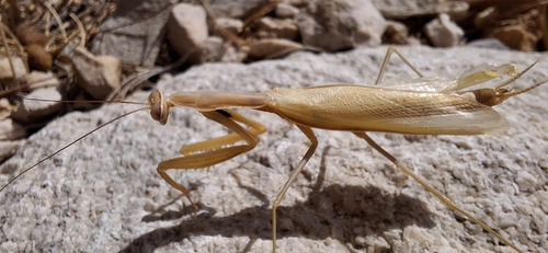
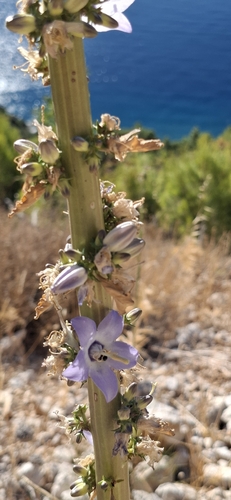
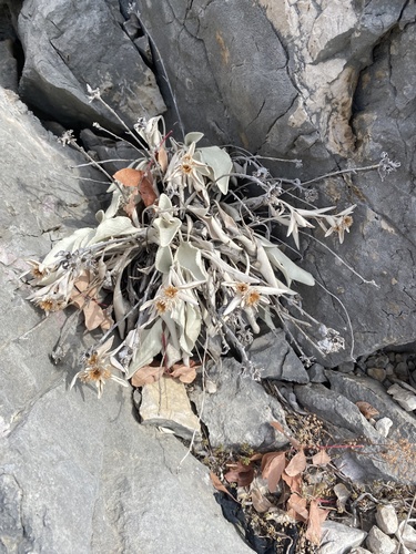
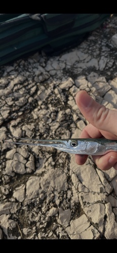

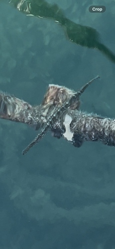
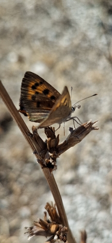
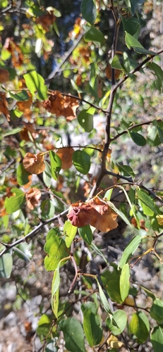
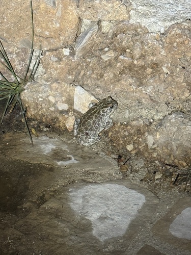
Research-grade observations from iNaturalist (within ~15 mi).
Events
Gallery
Sources
- • Wikipedia
- • Wikidata
- • iNaturalist
- • Open-Meteo / sunrise-sunset.org
- • Wikipedia Pageviews API