Browse / Croatia / Split-Dalmatia / Supetar
Supetar
Split-Dalmatiatown

Supetar
Total population
3,415
Demographic figures from Croatian Bureau of Statistics. Overview below cites Wikipedia and may reference a different year.
City facts
Facts from Wikidata (CC0).
Overview
Supetar is a town on the northern part of the Dalmatian island of Brač, in the Split-Dalmatia County, in Croatia. It became the island's official centre in 1827. The town of Supetar includes Supetar itself and the three villages of Splitska, Škrip and Mirca.
Read more on WikipediaHistory & geography
History
Old Supetar was situated on the small peninsula where there is now a graveyard. The settlement came to an end during the early Christian era. In the late Middle Ages, a new settlement started around the bay known as St. Peter's, from which the town derives its name. The town was called something like *Sanpetro in the Romance language spoken on Brač in early medieval times, and Romance -an- in front of a consonant regularly got borrowed as a nasal 'o' into Old Croatian (also from Germanic languages, and not only early Romance languages, which is why there is a name Fruška gora instead of *Franška gora, named after the Germanic tribe of Franks), and the nasal 'o' gives 'u' in Modern Croatian, giving the modern name Supetar. The present settlement of Supetar was founded in the 16th century when people living in Nerežišća, about inland, began to use it as their harbour. The town's main period of development occurred during the 18th and 19th centuries when Supetar took over from Nerežišća as the administrative centre of the island of Brač. Every year in June, Supetar has an annual festival for Saint Peter’s day, the patron saint of Supetar.
Excerpted from the corresponding Wikipedia article (CC BY-SA).
Geography
Coordinates & boundaries from the US Census TIGER/Line shapefiles.
Climate
Air quality
Walkability
Amenities nearby
Wildlife & biodiversity
Earthquake history
Photos
Sights & places nearby
Notable people from here


People born within ~10 km, from Wikidata (CC0). Click any name for their Wikipedia article.
Geography & sun
Elevation, sunrise/sunset and daylight from Open-Meteo. Solar climatology from NASA POWER.
Nearby airports
Public attention
Pageview totals from the Wikimedia Pageviews API.
Books about this place
Recent natural events nearby
Ground air-quality sensors
Recently spotted species
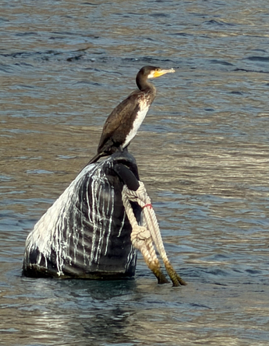
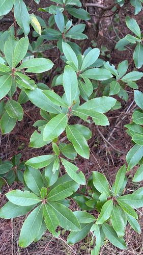
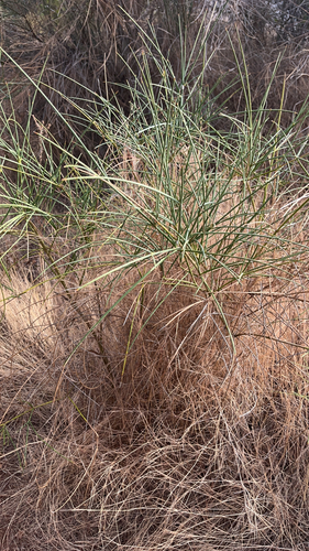
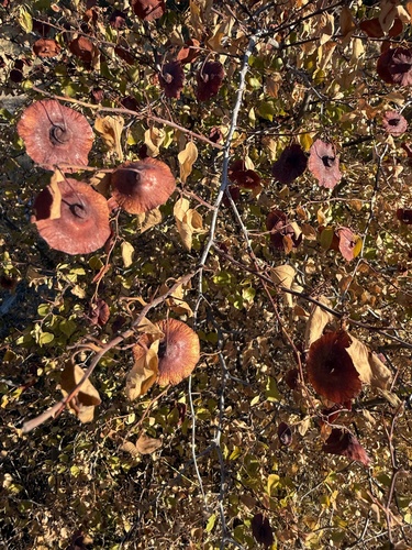
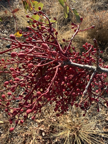
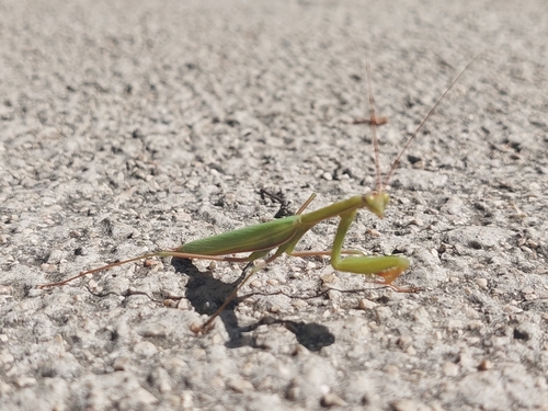
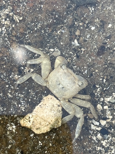
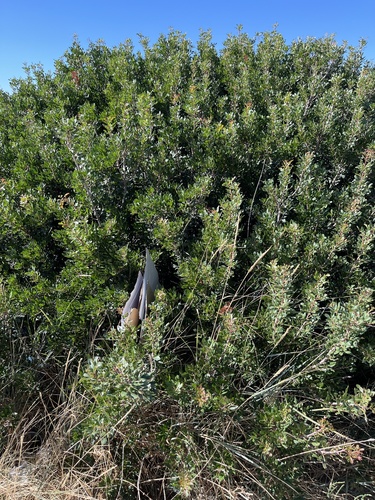
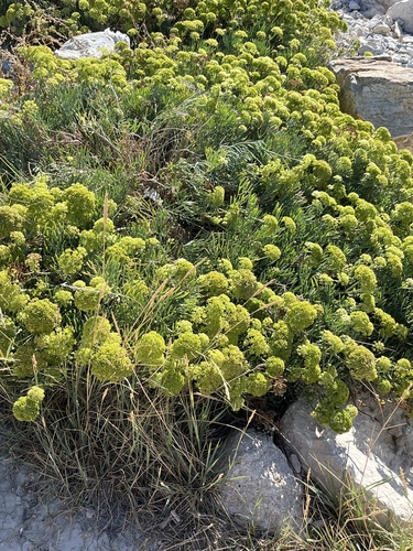
Research-grade observations from iNaturalist (within ~15 mi).
Events
Gallery
Sources
- • Wikipedia
- • Wikidata
- • iNaturalist
- • Open-Meteo / sunrise-sunset.org
- • Wikipedia Pageviews API