Browse / Croatia / Krapina-Zagorje / Sveti Križ Začretje
Sveti Križ Začretje
Krapina-Zagorjevillage
Total population
897
Demographic figures from Croatian Bureau of Statistics. Overview below cites Wikipedia and may reference a different year.
City facts
Facts from Wikidata (CC0).
Overview
Sveti Križ Začretje is a village and a municipality in the Krapina-Zagorje County, northern Croatia.
Read more on WikipediaHistory & geography
History
Sveti Križ Začretje is mentioned in the first list of parishes of the Zagreb Diocese, compiled in 1334 by Archdeacon Ivan of Gorička. In 1233, the Hungarian king Bela IV and his entourage, fleeing from the enemy, got stuck in what is now Bedekovčina. The parish in Sveti Križ Začretje already existed at that time since Bedekovčina belonged to the parish of Sveti Križ Začretje. In the immediate vicinity of the parish church of the Holy Cross is a late Baroque castle. At the beginning of the 18th century, the castle belonged to the Keglević family. At the beginning of the 18th century, Katarina Keglević was born in the castle who became Patačić upon marriage. She was one of the rare noble poets who wrote poems in the vernacular. The parish priest Ivan Bradica submitted a request to the Varaždin County Assembly to open a school in 1834. The assembly approved the request and demanded a teacher had to be found and a salary had to be provided. On 13 April 1838 the elementary school began operating. The teacher Oskar Wolfl left a great mark on the settlement. He came to the town in 1913 with a camera and because of this, the school memorial still contains extensive photo documentation. He also opened a new school building on the square in 1914, purchased the first cinema projector and radio in 1924 and established the school bathing area in 1927 with mandatory weekly bathing for children. Thanks to his efforts, the first sanitary well was installed on the square in 1928 and in 1929, he opened a school clinic. At the beginning of the 21st century, the granary building, built in 1796, was renovated. With the help of the Ministry of Culture of the Republic of Croatia, the Granary Museum was opened.
Excerpted from the corresponding Wikipedia article (CC BY-SA).
Geography
Coordinates & boundaries from the US Census TIGER/Line shapefiles.
Climate
Air quality
Walkability
Amenities nearby
Wildlife & biodiversity
Earthquake history
Photos
Sights & places nearby
Notable people from here


People born within ~10 km, from Wikidata (CC0). Click any name for their Wikipedia article.
Nearby places in Krapina-Zagorje
- Vrankovec0.9 mi away · pop. 239
- Pustodol Začretski1 mi away · pop. 231
- Kozjak Začretski1.2 mi away · pop. 234
- Zleć1.4 mi away · pop. 150
- Klupci Začretski1.5 mi away · pop. 77
- Donja Pačetina1.8 mi away · pop. 729
- Završje Začretsko2 mi away · pop. 40
- Mirkovec2.2 mi away · pop. 476
- Galovec Začretski2.2 mi away · pop. 290
- Prosenik Začretski2.3 mi away · pop. 158
- Židovinjak2.4 mi away · pop. 212
- Komor Začretski2.5 mi away · pop. 149
Geography & sun
Elevation, sunrise/sunset and daylight from Open-Meteo. Solar climatology from NASA POWER.
Nearby airports
Public attention
Pageview totals from the Wikimedia Pageviews API.
Books about this place
Recent natural events nearby
Ground air-quality sensors
Recently spotted species
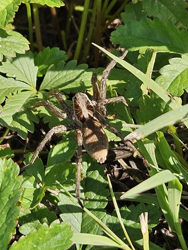
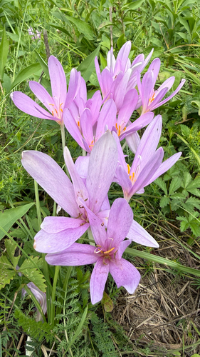
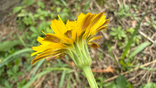
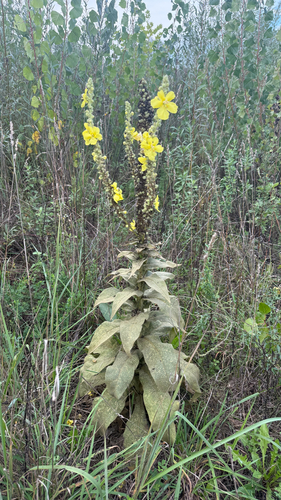
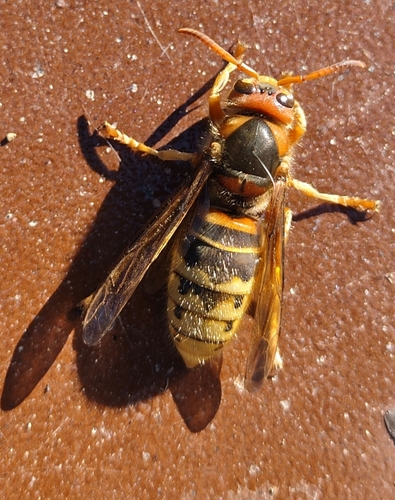
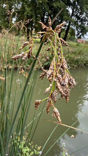
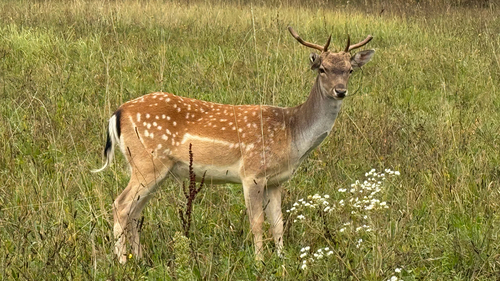
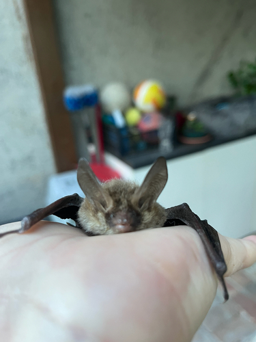
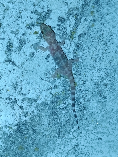
Research-grade observations from iNaturalist (within ~15 mi).
Events
Gallery
Sources
- • Wikipedia
- • Wikidata
- • iNaturalist
- • Open-Meteo / sunrise-sunset.org
- • Wikipedia Pageviews API