Browse / Croatia / Istria / Tar
Tar
Istriavillage

Tar
Total population
1,144
Demographic figures from Croatian Bureau of Statistics. Overview below cites Wikipedia and may reference a different year.
City facts
Overview
Tar is a dark brown or black viscous liquid of hydrocarbons and free carbon, obtained from a wide variety of organic materials through destructive distillation. Tar can be produced from carbon-rich materials such as coal, wood, petroleum, peat, and other organic matter.
Read more on WikipediaHistory & geography
Geography
Coordinates & boundaries from the US Census TIGER/Line shapefiles.
Climate
Air quality
Walkability
Amenities nearby
Wildlife & biodiversity
Earthquake history
Photos
Sights & places nearby
Notable people from here


People born within ~10 km, from Wikidata (CC0). Click any name for their Wikipedia article.
Nearby places in Istria
- Bašarinka2.3 mi away · pop. 90
- Stranići kod Nove Vasi2.4 mi away · pop. 177
- Kovači2.5 mi away · pop. 65
- Stancija Vodopija2.6 mi away · pop. 116
- Mihatovići2.7 mi away · pop. 122
- Valentići2.7 mi away · pop. 75
- Babići3.4 mi away · pop. 76
- Radoši kod Višnjana3.8 mi away · pop. 49
- Kosinožići4.2 mi away · pop. 99
- Markovac4.2 mi away · pop. 163
- Antonci4.3 mi away · pop. 164
- Ohnići4.4 mi away · pop. 30
Geography & sun
Elevation, sunrise/sunset and daylight from Open-Meteo. Solar climatology from NASA POWER.
Nearby airports
Public attention
Pageview totals from the Wikimedia Pageviews API.
Books about this place
Recent natural events nearby
Ground air-quality sensors
Recently spotted species
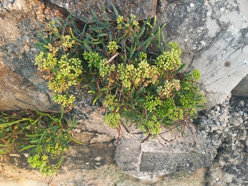
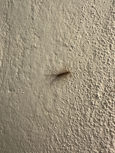
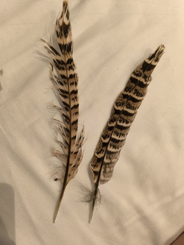
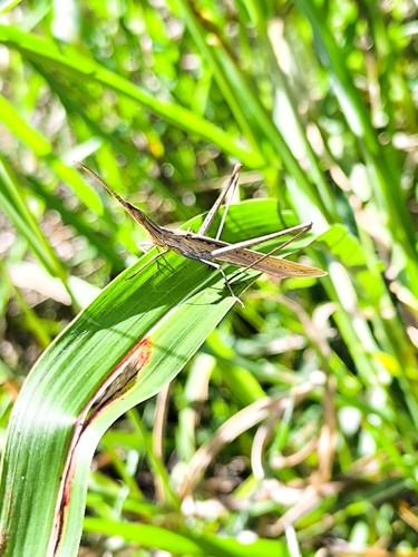
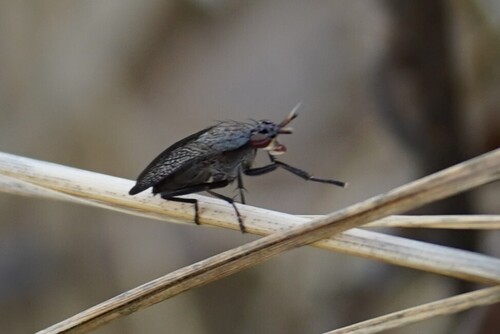
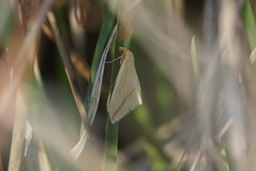
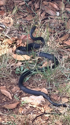
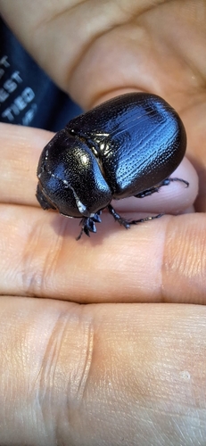
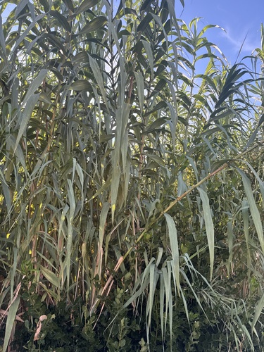
Research-grade observations from iNaturalist (within ~15 mi).
Events
Gallery
Sources
- • Wikipedia
- • Wikidata
- • iNaturalist
- • Open-Meteo / sunrise-sunset.org
- • Wikipedia Pageviews API