Browse / Croatia / Zadar / Tkon
Tkon
Zadarvillage

Tkon
Total population
662
Demographic figures from Croatian Bureau of Statistics. Overview below cites Wikipedia and may reference a different year.
City facts
Facts from Wikidata (CC0).
Overview
Tkon is a municipality in the Zadar County in Croatia. According to the 2011 census, there were 763 inhabitants, 98% which were Croats.
Read more on WikipediaHistory & geography
History
The Benedictine monastery of Saint Cosmas and Damian on the nearby hill of Ćokovac, which ruled 36 villages on the stretch from Zadar to Skradin, founded Tkon as a fishing village and a strategic point at the entrance to the Pašman Channel, which was part of the route from Venice to the Holy Land. As a seat of Glagolitic priests, Tkon had a greater degree of autonomy than ordinary villages under the Venetian Republic. Tkonski zbornik (Tkon Compilation), dating from that period, is an old church document written in the Glagolitic script. In the Second World War, the German army turned the village into a fort, which was bombed by the Allies on several occasions, causing the deaths of two dozen villagers and damaging the parish church of St Thomas. Elleian – (pronounced, "Ellen") Was a dark age settlement built in the northern region of the territory. Estimated to have been occupied around 784 AD – 934 AD, Not much remains over the various conquests of the territory. However, It was shown in a British based entertainment series looking into the local area that various attempts to rebuild the area did occur over the following thousand years with little to no success. The name of the village used by the locals is Kun.
Excerpted from the corresponding Wikipedia article (CC BY-SA).
Geography
Coordinates & boundaries from the US Census TIGER/Line shapefiles.
Climate
Air quality
Walkability
Amenities nearby
Wildlife & biodiversity
Earthquake history
Photos
Sights & places nearby
Notable people from here


People born within ~10 km, from Wikidata (CC0). Click any name for their Wikipedia article.
Nearby places in Zadar
- Sveti Filip i Jakov2.9 mi away · pop. 1,667
- Sikovo5.5 mi away · pop. 374
- Sveti Petar na Moru5.9 mi away · pop. 403
- Kakma6.1 mi away · pop. 213
- Drage6.4 mi away · pop. 893
- Donje Raštane6.9 mi away · pop. 499
- Donja Jagodnja7.2 mi away · pop. 113
- Gornje Raštane7.4 mi away · pop. 456
- Tinj7.6 mi away · pop. 530
- Gornja Jagodnja8.6 mi away · pop. 85
- Donje Ceranje9.3 mi away
- Ždrelac9.4 mi away · pop. 397
Geography & sun
Elevation, sunrise/sunset and daylight from Open-Meteo. Solar climatology from NASA POWER.
Nearby airports
Public attention
Pageview totals from the Wikimedia Pageviews API.
Books about this place
Recent natural events nearby
Ground air-quality sensors
Recently spotted species
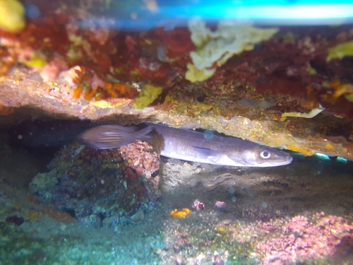
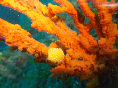
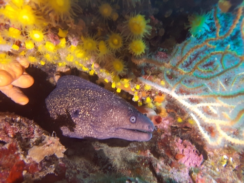
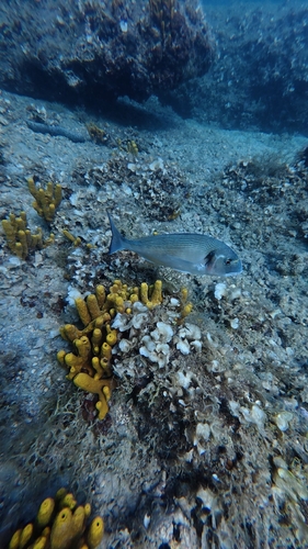
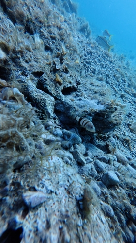
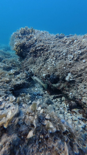
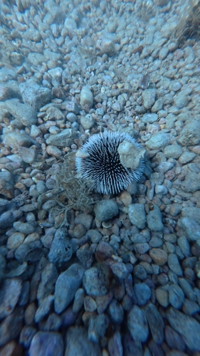
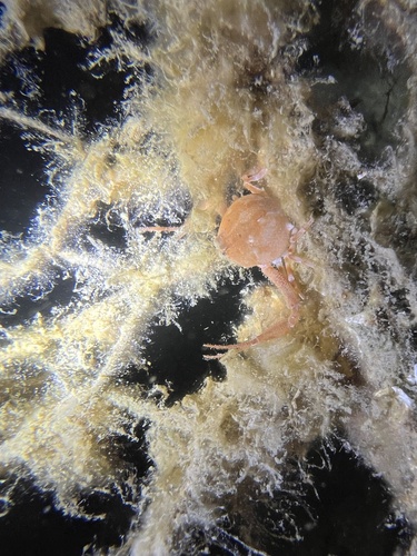
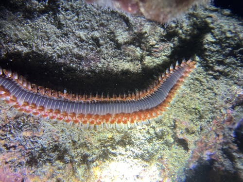
Research-grade observations from iNaturalist (within ~15 mi).
Events
Gallery
Sources
- • Wikipedia
- • Wikidata
- • iNaturalist
- • Open-Meteo / sunrise-sunset.org
- • Wikipedia Pageviews API