Browse / Croatia / Split-Dalmatia / Trogir
Trogir
Split-Dalmatiatown

Trogir
Total population
10,107
Demographic figures from Croatian Bureau of Statistics. Overview below cites Wikipedia and may reference a different year.
City facts
Facts from Wikidata (CC0).
Overview
Trogir is a historic town and harbour on the Adriatic coast in Split-Dalmatia County, Croatia, with a population of 10,107 (2021) and a total municipal population of 12,393 (2021). The historic part of the city is situated on a small island between the Croatian mainland and the island of Čiovo. It lies 27 kilometres west of the city of Split.
Read more on WikipediaHistory & geography
History
In the 3rd century BC, Tragurion (Ancient Greek: Τραγύριον, Tragyrion or Τραγούριον, Tragourion) was founded as a colony by Ancient Greek colonists on the Illyrian coast from the island of Vis, and it developed into a major port until the Roman period. The name comes from the Greek "tragos" (male goat) and "oros" (hill or mountain). Similarly, the name of the neighbouring island of Bua comes from the ancient Greek "voua" (herd of cattle). The sudden prosperity of Salona deprived Trogir of its importance. During the migration of Croats the citizens of the destroyed Salona escaped to Trogir. Initially the Roman Tragurium () was one of the Dalmatian City-States. From the 9th century on, Trogir paid tribute to Croatian rulers and to the Byzantine empire. The diocese of Trogir was established in the 11th century (abolished in 1828; it is now part of the Roman Catholic Archdiocese of Split-Makarska and has temporarily been a Latin titular bishopric). In 1107, it was chartered by the king of Hungary, Croatia and Dalmatia, Coloman, gaining thus its autonomy as a town. In the year 1000, the Republic of Venice received submission from the Tragurium inhabitants and since then the city started to have commerce with the Italian peninsula, enjoying cultural and economic improvements. However, in 1105, it acknowledged the supremacy of Hungary, while retaining its municipal freedom, and received a charter in 1108. In 1123, Trogir was conquered and almost completely demolished by the Saracens. However, it recovered in a short period of time to experience powerful economic prosperity in the 12th and the 13th centuries, with some autonomy under Venetian leadership. In 1242, King Béla IV of Hungary found refuge there as he fled the Mongols, who were unable to storm the island city. On…
Geography
City of Trogir is located in Dalmatia region, in Kaštela bay, at the entrance of Čiovo strait. Old town Trogir is located on little islet in the middle of Čiovo strait and it is connected with the bridges from both sides. Trogir is often considered to be a part of Split larger metropolitan area, which connects Trogir, Kaštela, Solin and Split itself. The city is from Split Saint Jerome Airport, and a regular bus connects Trogir with the airport and Split. In the future, the Split Suburban Railway will be lengthened towards the airport and Trogir. There are two yacht marinas in Trogir. Water supply to Trogir is sourced from the Jadro River, the source that once supplied the ancient Diocletian's Palace. Trogir has Mediterranean climate, with hot summers, often reaching 31 °C (87 °F), and winters reaching from 4 °C to 12 °C (39.2 °F to 53.6 °F).
Excerpted from the corresponding Wikipedia article (CC BY-SA).
Geography
Coordinates & boundaries from the US Census TIGER/Line shapefiles.
Climate
Air quality
Walkability
Amenities nearby
Wildlife & biodiversity
Earthquake history
Photos
Sights & places nearby
Notable people from here


People born within ~10 km, from Wikidata (CC0). Click any name for their Wikipedia article.
Nearby places in Split-Dalmatia
- Seget Donji1.1 mi away · pop. 2,681
- Okrug Gornji1.7 mi away · pop. 3,081
- Mastrinka1.7 mi away · pop. 837
- Okrug Donji2 mi away · pop. 268
- Seget Gornji2.6 mi away · pop. 136
- Seget Vranjica3.2 mi away · pop. 1,027
- Kaštel Štafilić4.2 mi away · pop. 2,822
- Vrsine5.2 mi away · pop. 332
- Poljica5.7 mi away
- Prgomet6.5 mi away · pop. 105
- Radošić6.6 mi away
- Drvenik Veliki6.9 mi away · pop. 170
Geography & sun
Elevation, sunrise/sunset and daylight from Open-Meteo. Solar climatology from NASA POWER.
Nearby airports
Public attention
Pageview totals from the Wikimedia Pageviews API.
Books about Trogir
Search results from Open Library.
Recent natural events nearby
Ground air-quality sensors
Recently spotted species
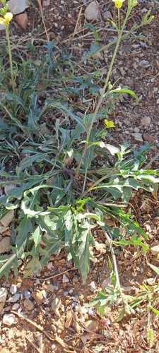
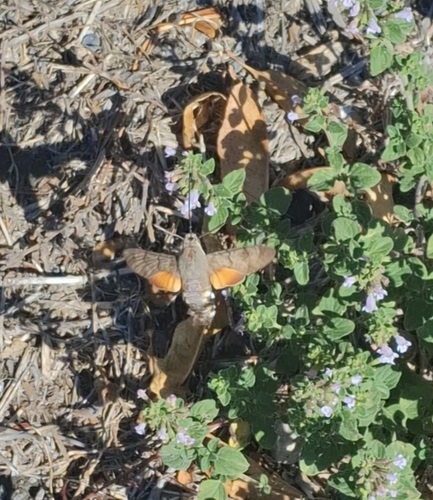
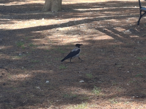
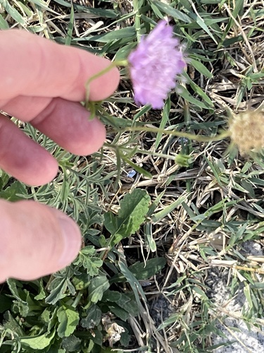
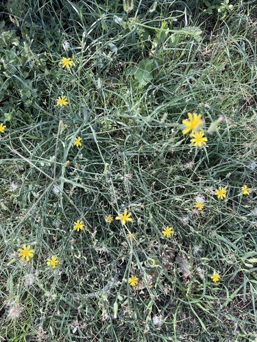
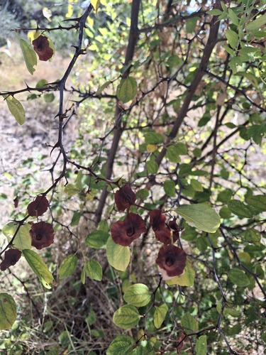
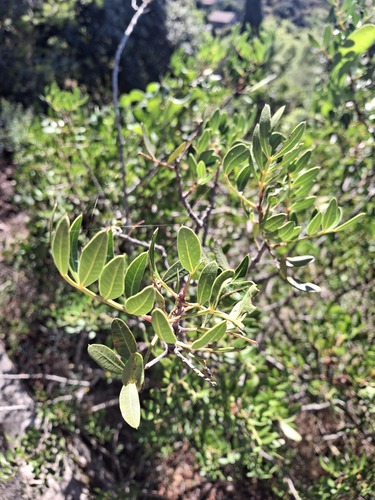
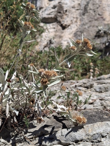
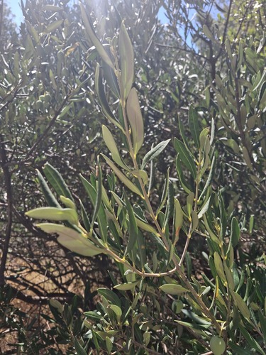
Research-grade observations from iNaturalist (within ~15 mi).
Events
Gallery
Sources
- • Wikipedia
- • Wikidata
- • iNaturalist
- • Open-Meteo / sunrise-sunset.org
- • Wikipedia Pageviews API
- • Open Library