Browse / Croatia / Osijek-Baranja / Valpovo
Valpovo
Osijek-Baranjatown

Valpovo
Total population
6,332
Demographic figures from Croatian Bureau of Statistics. Overview below cites Wikipedia and may reference a different year.
City facts
Sister cities
Facts from Wikidata (CC0).
Overview
Valpovo is a town in Slavonia, Croatia. It is close to the Drava river, 25 km (16 mi) northwest of Osijek. As of 2021, the population of Valpovo is 7,406, with a total of 11,563 in the municipality.
Read more on WikipediaHistory & geography
History
The town is first mentioned in 1332. In June of 1543, during Sultan Suleiman's campaign into Hungary, Valpovo was besieged, taken, and annexed to the Ottoman Empire. It was initially a kaza centre in the Sanjak of Pojega until 1601. It was later in sanjak centre in Kanije Eyalet until Austrian conquest in 1687. In the late 19th and early 20th century, Valpovo was part of the Virovitica County of the Kingdom of Croatia-Slavonia. In March 1945, German forces launched Operation Spring Awakening. On the southern arm which moved north through Valpovo was the 1st Cossack Cavalry Division. The operation was as disastrous as it was ambitious. Yugoslav partisans of the 3rd Army (Yugoslav Partisans) continuously harassed and delayed the Cossacks. Shortly after the end of World War II, officials in the communist Yugoslav regime established a labor camp for Germans which operated until May 1946.
Excerpted from the corresponding Wikipedia article (CC BY-SA).
Geography
Coordinates & boundaries from the US Census TIGER/Line shapefiles.
Climate
Air quality
Walkability
Amenities nearby
Wildlife & biodiversity
Earthquake history
Photos
Sights & places nearby
Notable people from here


People born within ~10 km, from Wikidata (CC0). Click any name for their Wikipedia article.
Nearby places in Osijek-Baranja
- Marjančaci2.1 mi away · pop. 257
- Ladimirevci2.7 mi away · pop. 1,209
- Vinogradci2.7 mi away · pop. 211
- Ivanovci3 mi away · pop. 405
- Veliškovci5.2 mi away · pop. 561
- Samatovci6.2 mi away · pop. 509
- Majške Međe6.4 mi away · pop. 59
- Topoline7 mi away · pop. 121
- Baranjsko Petrovo Selo7.1 mi away · pop. 434
- Bočkinci8.1 mi away · pop. 173
- Čamagajevci8.3 mi away · pop. 178
- Brezovica8.4 mi away · pop. 36
Geography & sun
Elevation, sunrise/sunset and daylight from Open-Meteo. Solar climatology from NASA POWER.
Nearby airports
Public attention
Pageview totals from the Wikimedia Pageviews API.
Books about this place
Recent natural events nearby
Ground air-quality sensors
Recently spotted species
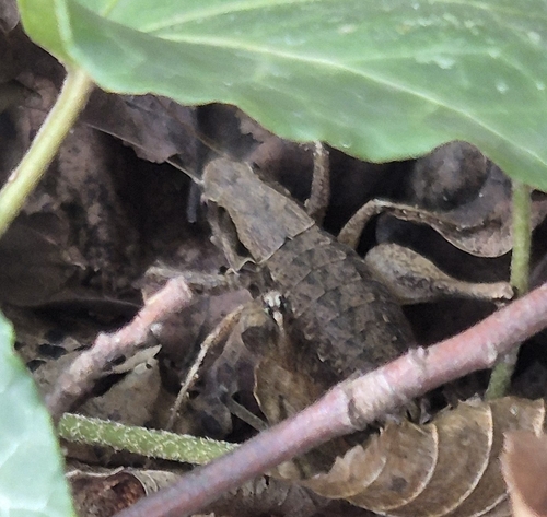
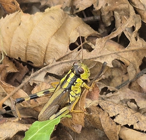
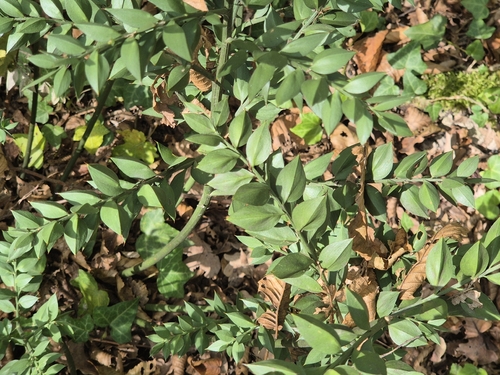
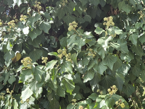


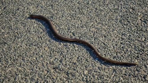
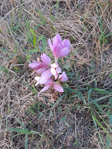
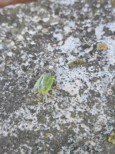
Research-grade observations from iNaturalist (within ~15 mi).
Events
Gallery
Sources
- • Wikipedia
- • Wikidata
- • iNaturalist
- • Open-Elevation
- • Open-Meteo / sunrise-sunset.org
- • Wikipedia Pageviews API