Browse / Croatia / Zagreb County / Velika Gorica
Velika Gorica
Zagreb Countytown

Velika Gorica
Total population
30,036
Founded
1228
Demographic figures from Croatian Bureau of Statistics. Overview below cites Wikipedia and may reference a different year.
City facts
Facts from Wikidata (CC0).
Overview
Velika Gorica is the largest and most populous city in Zagreb County, Croatia. According to the 2011 census, the city itself has a population of 31,341, and the municipality has a population of 63,517 inhabitants.
Read more on WikipediaHistory & geography
History
Velika Gorica and surrounding plain area by the Sava river have always been fertile and lush so it has been constantly inhabited since Neolithic. First major settlement was Andautonia, founded in 1st century where village of Šćitarjevo stands nowadays. It was an important Roman port on Sava river and city on roads connecting Siscia with Emona and Poetovio. The Roman town was large at the beginning of the 5th century. Croats came to these parts in the 8th century and remains from early Croat culture were found in numerous places around city of Velika Gorica. Velika Gorica is first mentioned in 1228 as a seat of the Catholic parish. In 1278 noblemen from Turopolje joined into a union called Plemenita opčina turopoljska ("Noble municipality of Turopolje"). Plemenita opčina turopoljska was granted a rule over Turopolje by Croatian monarchs and exists still today with mainly ceremonial and not political role. In the late 19th and early 20th century, Velika Gorica was a district capital in the Zagreb County of the Kingdom of Croatia-Slavonia. The 20th century was by far the most important one in history of Velika Gorica as it grew from a village of 2,871 inhabitants to an important and one of the largest cities in Croatia with population over 60 thousand inhabitants. Until 1995 Velika Gorica was part of City of Zagreb and since then it has a city status of its own. During the Croatian War of Independence the city played an important role because of two airports in its near distance. Velika Gorica's 153rd brigade of Croatian Army fought on battlefields all around Croatia. A ceremonial parade, with more than 300 firefighters from 40 volunteer fire departments throuought Croatia, was held on June 13th, 2026, on the occasion of the 150th anniversary of the Velika Gorica…
Geography
The City of Velika Gorica, located south of Zagreb, is the centre of an area covering . Up until 1990 Velika Gorica had the status of a municipality and after that it became a part of Zagreb. Velika Gorica gained city status in 1995. The area of the old Municipality of Velika Gorica was split into three municipalities – Kravarsko, Orle and Pokupsko. Velika Gorica is the largest settlement and the administrative centre of the traditional Turopolje region. Regarding the Turopolje name, among the most common opinions is that the name, meaning "Tur field", comes from an old Slavic word "tur" which means Aurochs, an ancient type of cattle with long horns, which was a symbol of fertility and the sun god. These cattle died out in the 16th century. The cattle were closely related to agriculture. Plowing had a symbolic meaning, the fertilization of Mother Earth, so these cattle were often assumed to have "sacred" characteristics. Because of its importance in the life of the plowmen, "tur" became the basis for numerous toponyms. However, as recently as the 16th century, Turopolje was called Campus Zagrebiensis, i.e. "Zagreb field", or just Campus (field). At that time the name was replaced by "Tur field", i.e. Turopolje. The A11 (Zagreb-Sisak) highway is planned to become the western bypass of Velika Gorica. State route D31 will be the eastern bypass. It is planned that these bypasses will relieve the traffic along the overcrowded Velikogorička road, the fastest link between Zagreb and Velika Gorica .
Excerpted from the corresponding Wikipedia article (CC BY-SA).
Geography
Coordinates & boundaries from the US Census TIGER/Line shapefiles.
Climate
Air quality
Walkability
Amenities nearby
Wildlife & biodiversity
Earthquake history
Photos
Sights & places nearby
Notable people from here


People born within ~10 km, from Wikidata (CC0). Click any name for their Wikipedia article.
Nearby places in Zagreb County
- Petrovina Turopoljska2.5 mi away · pop. 708
- Selnica Šćitarjevska2.7 mi away · pop. 535
- Mala Kosnica2.8 mi away · pop. 49
- Velika Kosnica3.3 mi away · pop. 770
- Gornja Lomnica3.5 mi away · pop. 580
- Mraclin3.6 mi away · pop. 1,074
- Gornje Podotočje3.7 mi away · pop. 491
- Ribnica3.8 mi away · pop. 803
- Lukavec3.9 mi away · pop. 1,140
- Donje Podotočje3.9 mi away · pop. 375
- Lekneno4.2 mi away · pop. 383
- Obrezina4.2 mi away · pop. 555
Geography & sun
Elevation, sunrise/sunset and daylight from Open-Meteo. Solar climatology from NASA POWER.
Nearby airports
Public attention
Pageview totals from the Wikimedia Pageviews API.
Books about this place
Recent natural events nearby
Ground air-quality sensors
Recently spotted species


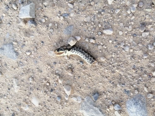

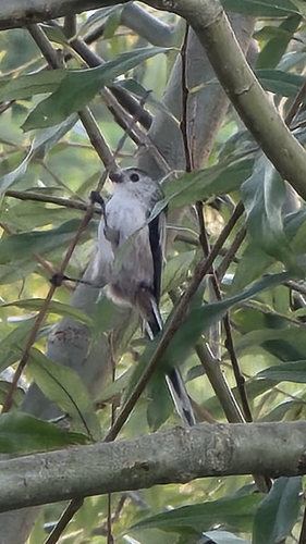




Research-grade observations from iNaturalist (within ~15 mi).
Events
Gallery
Sources
- • Wikipedia
- • Wikidata
- • iNaturalist
- • Open-Meteo / sunrise-sunset.org
- • Wikipedia Pageviews API