Browse / Croatia / Krapina-Zagorje / Veliko Trgovišće
Veliko Trgovišće
Krapina-Zagorjevillage

Veliko Trgovišće
Total population
1,250
Demographic figures from Croatian Bureau of Statistics. Overview below cites Wikipedia and may reference a different year.
City facts
Facts from Wikidata (CC0).
Overview
Veliko Trgovišće is a village and municipality in Krapina-Zagorje County in Croatia located just south-west from nearby town Zabok. It is best known as the birthplace of the first president of Croatia Franjo Tuđman.
Read more on WikipediaHistory & geography
History
Veliko Trgovišće was first mentioned in written documents in 1501. The origin of the town of Veliko Trgovišće is linked to the construction of a road, and later a railway. Before that, the town of Jezero was mentioned as the center, where the church of Saint George was built, on which the year 1622 is carved above the portal. Children were also educated in the settlement as early as 1700. The church of the Three Kings in Velika Erpenja was built in 1650, and the chapel of the Virgin Mary in Strmec succeeded the wooden chapel on the same site in 1772. In that chapel there is a statue of Our Lady of the Snows from around 525. The parish palace in Veliki Trgovišće was built in 1842, and the parish church in Veliki Trgovišće was built in 1876. In 1889, construction of the school began, which was completed in 1891, and a little later, the municipal building was built. In 1932, the fire department was founded and in 1936 a football club was founded.
Excerpted from the corresponding Wikipedia article (CC BY-SA).
Geography
Coordinates & boundaries from the US Census TIGER/Line shapefiles.
Climate
Air quality
Walkability
Amenities nearby
Wildlife & biodiversity
Earthquake history
Photos
Sights & places nearby
Notable people from here


People born within ~10 km, from Wikidata (CC0). Click any name for their Wikipedia article.
Geography & sun
Elevation, sunrise/sunset and daylight from Open-Meteo. Solar climatology from NASA POWER.
Nearby airports
Public attention
Pageview totals from the Wikimedia Pageviews API.
Books about this place
Recent natural events nearby
Ground air-quality sensors
Recently spotted species
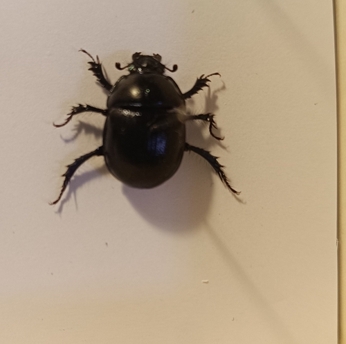
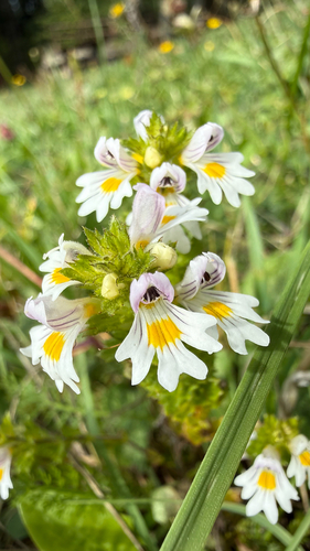
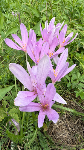
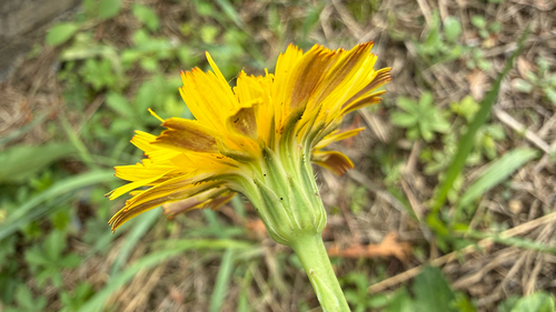
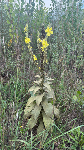
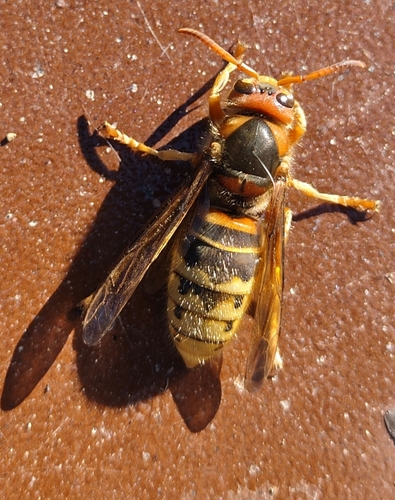
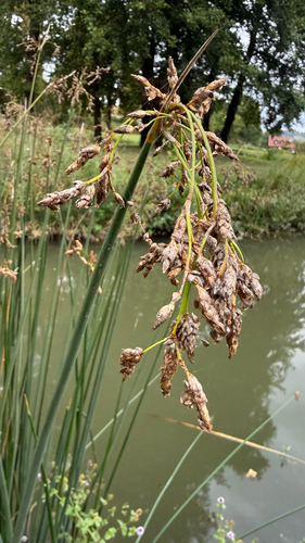
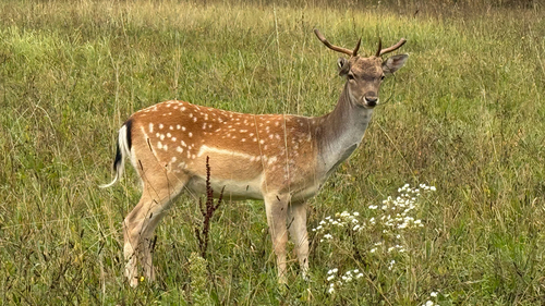
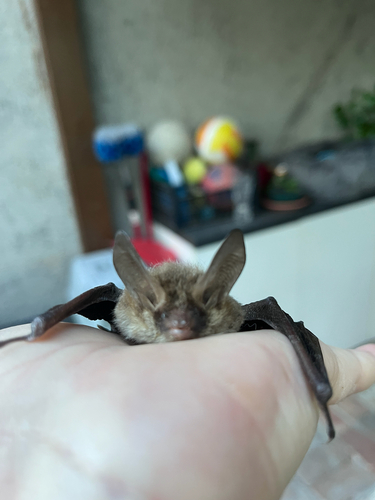
Research-grade observations from iNaturalist (within ~15 mi).
Events
Gallery
Sources
- • Wikipedia
- • Wikidata
- • iNaturalist
- • Open-Meteo / sunrise-sunset.org
- • Wikipedia Pageviews API