Browse / Croatia / Virovitica-Podravina / Virovitica
Virovitica
Virovitica-Podravinatown

Virovitica
Total population
13,486
Founded
1234
Demographic figures from Croatian Bureau of Statistics. Overview below cites Wikipedia and may reference a different year.
City facts
Facts from Wikidata (CC0).
Overview
Virovitica is a Croatian city near the Hungarian border. It is situated near the Drava river and belongs to the historic region of Slavonia. Virovitica has a population of 14,688, with 21,291 people in the municipality. It is also the capital of Virovitica-Podravina County.
Read more on WikipediaHistory & geography
History
The town is first mentioned in 1234 as magna villa Wereuche. It was part of the Ottoman Empire between 1552 and 1684, with the role of a city fortress in the Sanjak of Pojega (1552–1601). In the late 19th century and early 20th century, Virovitica was a district capital in the Virovitica County of the Kingdom of Croatia-Slavonia. By June 1991 tensions between ethnic Serbs and Croats broke out into full-scale war, which lasted until 1995. An unknown number of deaths, forced disappearances, and atrocities were committed against Croatian Serb civilians within Virovitica.
Excerpted from the corresponding Wikipedia article (CC BY-SA).
Geography
Coordinates & boundaries from the US Census TIGER/Line shapefiles.
Climate
10-year averages from ERA5 reanalysis (Open-Meteo).
Air quality
Walkability
Amenities nearby
Wildlife & biodiversity
Most-observed species
- Common ChaffinchFringilla coelebs Linnaeus, 1758 · Aves41
- Eurasian BlackbirdTurdus merula Linnaeus, 1758 · Aves24
- European RobinErithacus rubecula (Linnaeus, 1758) · Aves24
- Great TitParus major Linnaeus, 1758 · Aves24
- White StorkCiconia ciconia (Linnaeus, 1758) · Aves23
- Eurasian WrenTroglodytes troglodytes (Linnaeus, 1758) · Aves23
- SnowdropGalanthus nivalis L. · Liliopsida22
- Song ThrushTurdus philomelos C.L.Brehm, 1831 · Aves22
Citizen-science & research observations from the Global Biodiversity Information Facility (GBIF).
Earthquake history
Most recent
- M 4.4 — 2025-02-250 km WSW of Sisak, Croatia
- M 4.1 — 2024-08-135 km W of Rasinja, Croatia
- M 3.7 — 2022-08-016 km WNW of Petrinja, Croatia
- M 4.6 — 2021-08-166 km NW of Petrinja, Croatia
- M 4.1 — 2021-08-014 km NNE of Petrinja, Croatia
- M 3.9 — 2021-02-246 km NW of Petrinja, Croatia
Events from the USGS Earthquake Catalog (global) (FDSN Event Web Service).
Photos
Sights & places nearby
Notable people from here


People born within ~10 km, from Wikidata (CC0). Click any name for their Wikipedia article.
Nearby places in Virovitica-Podravina
- Podgorje2 mi away · pop. 737
- Brezik2.4 mi away · pop. 213
- Lukač3.2 mi away · pop. 443
- Rezovačke Krčevine3.6 mi away · pop. 295
- Dugo Selo Lukačko4.2 mi away · pop. 570
- Kapela Dvor4.3 mi away · pop. 259
- Novi Antunovac4.8 mi away · pop. 103
- Lipovac5.3 mi away · pop. 187
- Suhopolje5.8 mi away · pop. 2,696
- Budrovac Lukački5.9 mi away · pop. 138
- Lozan6 mi away · pop. 440
- Mala Trapinska7 mi away · pop. 62
Geography & sun
Elevation, sunrise/sunset and daylight from Open-Meteo. Solar climatology from NASA POWER.
Nearby airports
Public attention
Pageview totals from the Wikimedia Pageviews API.
Books about Virovitica
Search results from Open Library.
Recent natural events nearby
Ground air-quality sensors
Recently spotted species
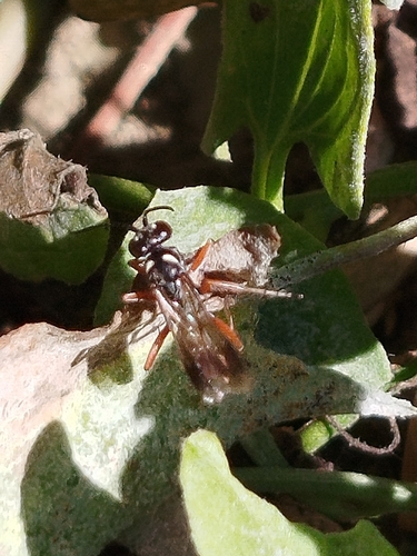
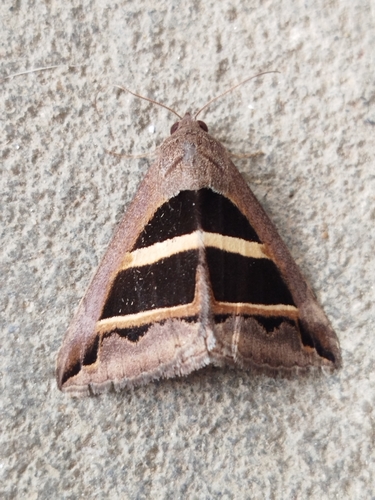
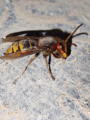
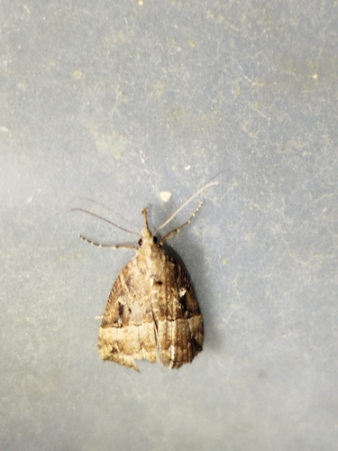
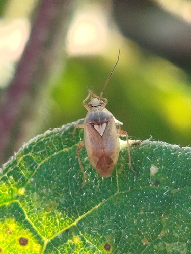
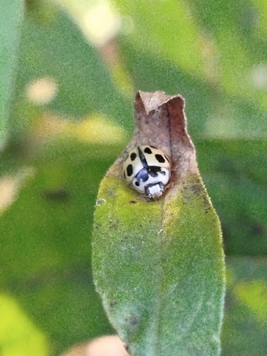
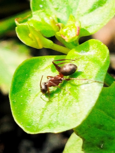
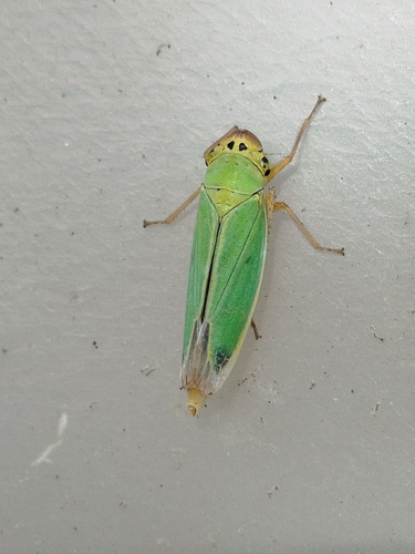
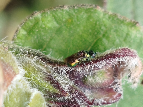
Research-grade observations from iNaturalist (within ~15 mi).
Events
Gallery
Sources
- • Wikipedia
- • Open-Meteo (ERA5 reanalysis)
- • Wikidata
- • USGS Earthquake Catalog (global feed)
- • GBIF (Global Biodiversity Information Facility)
- • iNaturalist
- • Open-Meteo / sunrise-sunset.org
- • Wikipedia Pageviews API
- • Open Library