Browse / Croatia / Istria / Višnjan
Višnjan
Istriavillage

Višnjan
Total population
694
Demographic figures from Croatian Bureau of Statistics. Overview below cites Wikipedia and may reference a different year.
City facts
Facts from Wikidata (CC0).
Overview
Višnjan is a village and municipality in Istria, west Croatia. Višnjan is the site of Višnjan Observatory. The observatory is home of several long-running international summer programs for youth in astronomy, archeology, marine biology and other disciplines.
Read more on WikipediaHistory & geography
History
In the village of Strpačići, 1 km from Višnjan copper earrings and needles were found. Illyrians came to the region somewhere between 2000 and 1000 BC and were later replaced by Celts. The remains of the Celtic era can be found on the nearby Montemez hill which is Celtic for nice hill. Remnants of pottery can be found all over the area as well in the town itself. A few kilometers west from Višnjan there is a prehistoric and medieval settlement called Dilian with a monastery and church named Saint Mihovil dating from the 11th century. Višnjan was first mentioned in a document from 1003 AD. Višnjan was surrounded by a defense wall until the 18th century. The City was entered through a gate crowned with a Venetian lion and an open book. Višnjan was part of the Motovun municipality until 1847 when it became an independent municipality. It was subsequently incorporated into Poreč municipality in 1947. In 1976 an astronomical observatory was built in Višnjan and the town became the astronomy centre of Yugoslavia. In 1993 Višnjan again became an independent municipality. Višnjan is partially surrounded by walls built in the 13th and 14th centuries, and in the town there is a Gothic church of St. Anton from the 15th century and the church of St. Quirik and Julita from the 19th century.
Geography
Višnjan is located 12 kilometers east of Poreč and 3 kilometers west of Pula-Koper road. Višnjan is located on elevation of 244 m and average municipality elevation is between 200-300 m. One of the most notable sinkholes in Istria, Baredine, is located in the municipality.
Excerpted from the corresponding Wikipedia article (CC BY-SA).
Geography
Coordinates & boundaries from the US Census TIGER/Line shapefiles.
Climate
Air quality
Walkability
Amenities nearby
Wildlife & biodiversity
Earthquake history
Photos
Sights & places nearby
Notable people from here


People born within ~10 km, from Wikidata (CC0). Click any name for their Wikipedia article.
Nearby places in Istria
- Markovac1.2 mi away · pop. 163
- Zoričići1.6 mi away · pop. 22
- Štuti1.7 mi away · pop. 37
- Bačva1.7 mi away · pop. 21
- Radoši kod Višnjana2 mi away · pop. 49
- Barići2.3 mi away · pop. 25
- Ohnići2.4 mi away · pop. 30
- Kurjavići2.5 mi away · pop. 30
- Vrhljani2.5 mi away · pop. 14
- Mališi2.5 mi away · pop. 11
- Babići2.6 mi away · pop. 76
- Valentići2.6 mi away · pop. 75
Geography & sun
Elevation, sunrise/sunset and daylight from Open-Meteo. Solar climatology from NASA POWER.
Nearby airports
Public attention
Pageview totals from the Wikimedia Pageviews API.
Books about this place
Recent natural events nearby
Ground air-quality sensors
Recently spotted species
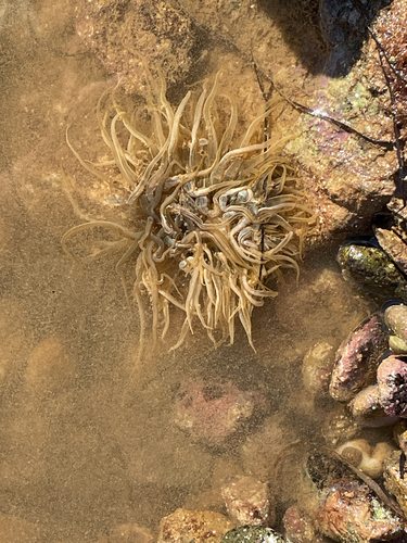
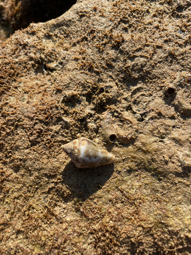
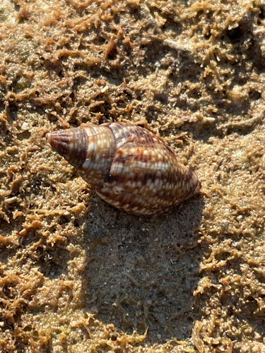
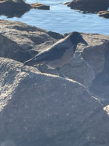
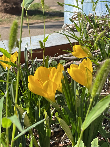
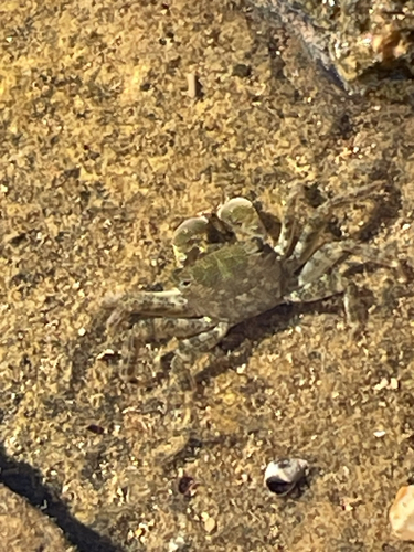
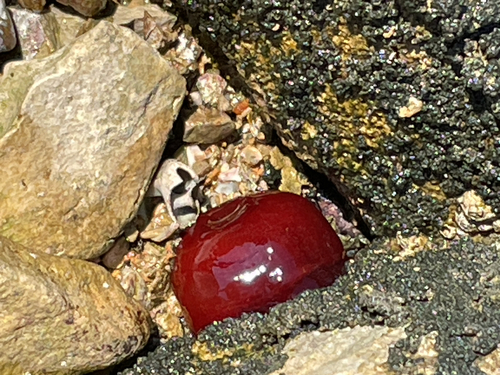
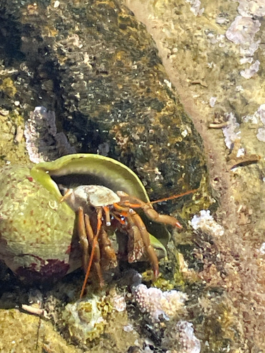
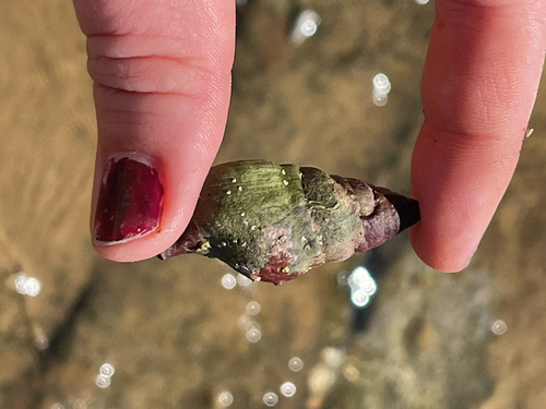
Research-grade observations from iNaturalist (within ~15 mi).
Events
Gallery
Sources
- • Wikipedia
- • Wikidata
- • iNaturalist
- • Open-Meteo / sunrise-sunset.org
- • Wikipedia Pageviews API