Browse / Croatia / Virovitica-Podravina / Voćin
Voćin
Virovitica-Podravinavillage

Voćin
Total population
1,191
Demographic figures from Croatian Bureau of Statistics. Overview below cites Wikipedia and may reference a different year.
City facts
Facts from Wikidata (CC0).
Overview
Voćin is a village and municipality in western Slavonia, Croatia, located southwest of Slatina and east of Daruvar. The population of the municipality is 1,911, with 956 people living in Voćin itself.
Read more on WikipediaHistory & geography
History
Voćin was first mentioned as "Achtyna" or "Othyna" in the 12th century. It was part of Verőce County and was known "Atyina". It was conquered by Ottoman Empire in 1543. During Ottoman rule, it was part of Sanjak of Pojega. It was conquered by Austrians during Great Turkish War in 1687. In the late 19th and early 20th century, Voćin was part of the Virovitica County of the Kingdom of Croatia-Slavonia. The church was destroyed during World War II and rebuilt in 1973. Colonist settlement of Hum was established on the territory of the municipality during the land reform in interwar Yugoslavia. During the World War II, on January 14, 1942, happened the first Voćin massacre - killing of 350 Serb civilians by the Croatian Ustaše. The massacre was carried out as retaliation for partisans' action in Papuk. During the Croatian War of Independence, the village's was the site of a massacre by the Serb White Eagles, who killed 43 villagers, all but one of whom were ethnic Croats. A Serb civilian who tried to protect his neighbors was the other fatality. Overnight, between 13 and 14 December 1991, the village's 550-year-old late style gothic church of the Visitation of the Blessed Virgin Mary was destroyed by explosive charges.
Geography
Voćin, a pilgrimage site, is located in a valley of the Voćinska Rijeka at the foot of Papuk Mountain. The surrounding area is notable for the Lisičine arboretum, the special Sekulinačke Planine forest vegetation reserve.
Excerpted from the corresponding Wikipedia article (CC BY-SA).
Geography
Coordinates & boundaries from the US Census TIGER/Line shapefiles.
Climate
Air quality
Walkability
Amenities nearby
Wildlife & biodiversity
Most-observed species
- Common ChaffinchFringilla coelebs Linnaeus, 1758 · Aves276
- European RobinErithacus rubecula (Linnaeus, 1758) · Aves209
- Eurasian WrenTroglodytes troglodytes (Linnaeus, 1758) · Aves151
- Eurasian BlackbirdTurdus merula Linnaeus, 1758 · Aves139
- Great TitParus major Linnaeus, 1758 · Aves131
- Song ThrushTurdus philomelos C.L.Brehm, 1831 · Aves89
- Common Wood-PigeonColumba palumbus Linnaeus, 1758 · Aves83
- Eurasian NuthatchSitta europaea Linnaeus, 1758 · Aves73
Citizen-science & research observations from the Global Biodiversity Information Facility (GBIF).
Earthquake history
Most recent
- M 4.4 — 2025-02-250 km WSW of Sisak, Croatia
- M 4.1 — 2024-08-135 km W of Rasinja, Croatia
- M 3.3 — 2022-06-242 km SE of Omarska, Bosnia and Herzegovina
- M 4 — 2021-08-088 km SSE of Laktaši, Bosnia and Herzegovina
- M 4.1 — 2021-08-014 km NNE of Petrinja, Croatia
- M 3.2 — 2021-05-062 km N of Laktaši, Bosnia and Herzegovina
Events from the USGS Earthquake Catalog (global) (FDSN Event Web Service).
Photos
Sights & places nearby
Notable people from here

People born within ~10 km, from Wikidata (CC0). Click any name for their Wikipedia article.
Nearby places in Virovitica-Podravina
- Kometnik-Jorgići1.1 mi away · pop. 26
- Kometnik-Zubići1.8 mi away · pop. 28
- Mačkovac5.6 mi away · pop. 47
- Bokane5.9 mi away
- Novo Kusonje6 mi away · pop. 22
- Ivanbrijeg6.5 mi away · pop. 30
- Pivnica Slavonska7.2 mi away · pop. 53
- Dvorska8.3 mi away · pop. 15
- Donji Meljani8.5 mi away · pop. 259
- Sladojevci8.8 mi away · pop. 730
- Sladojevački Lug8.9 mi away · pop. 90
- Balinci9 mi away · pop. 70
Geography & sun
Elevation, sunrise/sunset and daylight from Open-Meteo. Solar climatology from NASA POWER.
Nearby airports
Public attention
Pageview totals from the Wikimedia Pageviews API.
Books about this place
Recent natural events nearby
Ground air-quality sensors
Recently spotted species
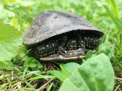
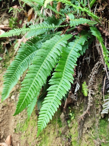
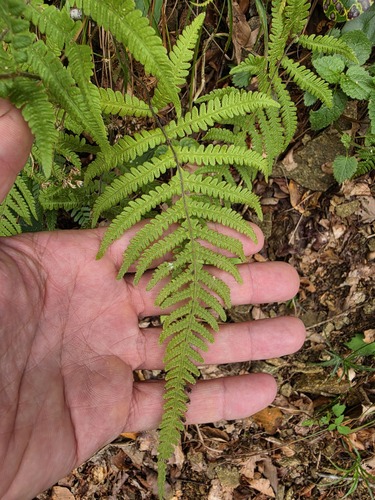
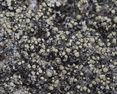
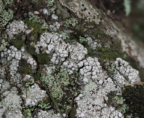
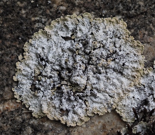
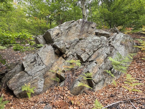
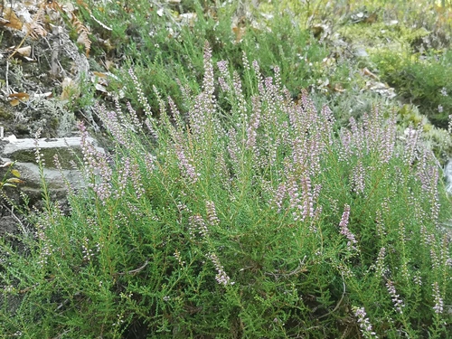
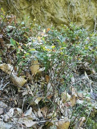
Research-grade observations from iNaturalist (within ~15 mi).
Events
Gallery
Sources
- • Wikipedia
- • Wikidata
- • USGS Earthquake Catalog (global feed)
- • GBIF (Global Biodiversity Information Facility)
- • iNaturalist
- • Open-Meteo / sunrise-sunset.org
- • Wikipedia Pageviews API