Browse / Croatia / Međimurje / Vratišinec
Vratišinec
Međimurjevillage

Vratišinec
Total population
1,392
Demographic figures from Croatian Bureau of Statistics. Overview below cites Wikipedia and may reference a different year.
City facts
Facts from Wikidata (CC0).
Overview
Vratišinec is a municipality and village in Međimurje County, Croatia.
Read more on WikipediaHistory & geography
History
Vratišinec was first mentioned in 1458 as Bratrvsincz, and was originally an estate belonging to the Counts of Celje. In 1478, it was mentioned as Bratischinecz. It was also mentioned as Wratissnicz in 1636, and as Vratissinecz in 1752. The toponym is believed to have been derived from the male given name Bratiša or Vratiša, which is derived from brat, the Croatian word for "brother". It was most likely the name of a local feudal landlord. By the 18th century, there was a wooden chapel in the village. Around 1760, the local people built a new brick chapel to replace it. At the time, the village was part of the Selnica parish. On 1 November 1789, the Vratišinec parish was established and the chapel became its parish church. The parish is named after the Exaltation of the Holy Cross. By the beginning of the 20th century, the village was already predominantly populated by Croats. In the 1910 census, it had a population of 646. It was part of the Čakovec district () of Zala County in the Kingdom of Hungary until 1918 when Međimurje was annexed by the Kingdom of Yugoslavia. In 1941, the village became a part of Hungary again, as the entire Međimurje region was occupied by the Hungarians until 1945. After World War II, it became a part of Croatia within the Federal People's Republic of Yugoslavia and belonged to the Čakovec municipality until 1992. Following the independence of Croatia, the village of Vratišinec became the seat of a separate municipality, which was established in 1992. The municipality was reorganised in January 1997, with the villages of Peklenica and Križovec separating from it to become part of the wider area of the town of Mursko Središće, while Krištanovec and Žiškovec did the same to become part of the wider area of the city of Čakovec. After the…
Geography
The Municipality of Vratišinec is located in the northern part of Međimurje County and borders the City of Čakovec to the south, the Town of Mursko Središće to the west and north, and the Municipality of Podturen to the east. The municipality also includes the village of Gornji Kraljevec and the hamlet of Remis, located between the village of Gornji Kraljevec and Sivica. The railroad connecting Čakovec with Mursko Središće and Lendava goes through the municipality, with a small railway station located in the village of Vratišinec.
Excerpted from the corresponding Wikipedia article (CC BY-SA).
Geography
Coordinates & boundaries from the US Census TIGER/Line shapefiles.
Climate
Air quality
Walkability
Amenities nearby
Wildlife & biodiversity
Earthquake history
Photos
Sights & places nearby
Notable people from here


People born within ~10 km, from Wikidata (CC0). Click any name for their Wikipedia article.
Nearby places in Međimurje
- Peklenica1.3 mi away · pop. 1,217
- Križovec1.9 mi away · pop. 631
- Mursko Središće2.3 mi away · pop. 3,321
- Miklavec2.3 mi away · pop. 474
- Donji Zebanec2.6 mi away · pop. 173
- Ferketinec2.6 mi away · pop. 208
- Gornji Zebanec2.8 mi away · pop. 189
- Selnica2.9 mi away · pop. 1,076
- Novo Selo Rok3.8 mi away · pop. 1,441
- Frkanovec4 mi away · pop. 313
- Mali Mihaljevec4.1 mi away · pop. 410
- Pleškovec4.5 mi away · pop. 471
Geography & sun
Elevation, sunrise/sunset and daylight from Open-Meteo. Solar climatology from NASA POWER.
Nearby airports
Public attention
Pageview totals from the Wikimedia Pageviews API.
Books about this place
Recent natural events nearby
Ground air-quality sensors
Recently spotted species
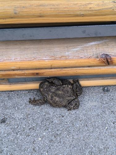
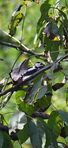
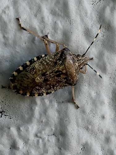
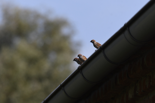
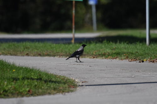
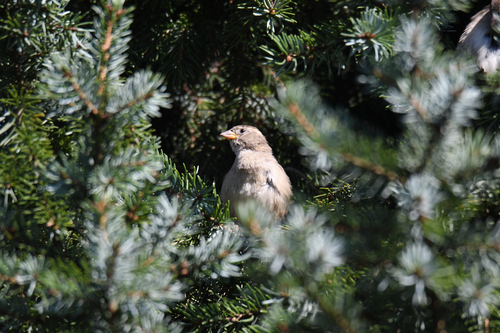
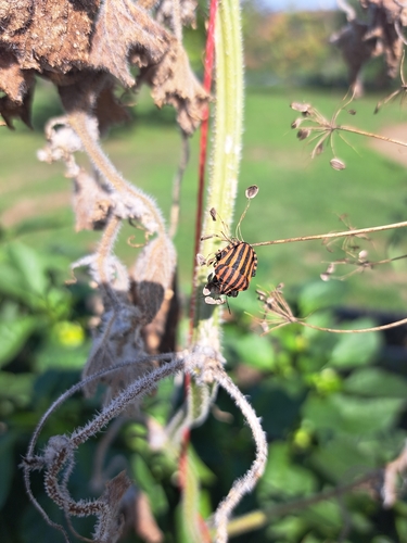

Research-grade observations from iNaturalist (within ~15 mi).
Events
Gallery
Sources
- • Wikipedia
- • Wikidata
- • iNaturalist
- • Open-Meteo / sunrise-sunset.org
- • Wikipedia Pageviews API