Browse / Croatia / Split-Dalmatia / Vrlika
Vrlika
Split-Dalmatiatown

Vrlika
Total population
718
Demographic figures from Croatian Bureau of Statistics. Overview below cites Wikipedia and may reference a different year.
City facts
Facts from Wikidata (CC0).
Overview
Vrlika is a small town in inland Split-Dalmatia County, Croatia. The closest large towns are Sinj, Knin, and Drniš. Vrlika was given the status of town in 1997. Vrlika is an underdeveloped municipality which is statistically classified as the First Category Area of Special State Concern by the Government of Croatia.
Read more on WikipediaHistory & geography
History
The oldest evidence for human life in this region is from 30,000 BC. During the Bronze Age, between 1900 and 1600 BC, there was the so-called Cetina culture on the territory of Vrlika municipality. Archaeologists have found ancient graves, a Bronze Age sword and other smaller items dating back to that period. These findings made it clear that in the past this land was densely populated. Prior to the arrival of the Romans, the Illyrian tribe of Dalmatae are said to have inhabited the region. After multiple wars, lasting for as long as 250 years, in the year 9 AD they were finally defeated and annexed by the Romans. The history of the town begins in the 7th century when it was formed a village on the spring of the river Cetina, in a field below the mountain Dinara. In the 9th century, probably during the time of Duke Branimir of Croatia, the Church of Holy Salvation "Crkva Sv. Spasa" was built near Vrlika, then called Vrh Rike. The church was built by old Croatian Gostiha of Cetina "Cetinski župan Gastika" in memory of his mother and his sons. Vrlika was first mentioned in written sources in 1069, as the seat of Cetin County (Cetinska županija) – the old Croatian county, which included the towns of: Glavaš, Prozor, Sinj, Trilj, Stolac, Gradac, Nutjak, Tugare and Poljic parish (Poljička župa). Of the five old Croatian counties (Imotska, Zminjska, Kliška i Dridska) that were located in the area of the current Split-Dalmatia County, Cetinska County was the largest. In the year 1406, King Ladislaus of Naples gave Prozor Fortress, at that time Castrum Werhlychky as a center of Vrlička župa, to the Bosnian nobleman Hrvoje Vukčić. During the medieval period, Vrlika, along with the rest of the Balkans, experienced invasion and subsequent occupation by the Ottoman Empire in…
Excerpted from the corresponding Wikipedia article (CC BY-SA).
Geography
Coordinates & boundaries from the US Census TIGER/Line shapefiles.
Climate
Air quality
Walkability
Amenities nearby
Wildlife & biodiversity
Earthquake history
Photos
Sights & places nearby
Notable people from here


People born within ~10 km, from Wikidata (CC0). Click any name for their Wikipedia article.
Nearby places in Split-Dalmatia
- Podosoje1 mi away
- Kosore1.7 mi away · pop. 191
- Maljkovo8.8 mi away · pop. 76
- Velika Milešina10.4 mi away · pop. 33
- Mala Milešina10.8 mi away · pop. 21
- Donje Ogorje11.7 mi away · pop. 116
- Gornje Ogorje12.3 mi away · pop. 163
- Satrić12.9 mi away · pop. 456
- Donji Bitelić12.9 mi away · pop. 317
- Zelovo13.4 mi away · pop. 181
- Donje Postinje13.9 mi away · pop. 78
- Gornji Bitelić14.3 mi away · pop. 192
Geography & sun
Elevation, sunrise/sunset and daylight from Open-Meteo. Solar climatology from NASA POWER.
Nearby airports
Public attention
Pageview totals from the Wikimedia Pageviews API.
Books about this place
Recent natural events nearby
Ground air-quality sensors
Recently spotted species
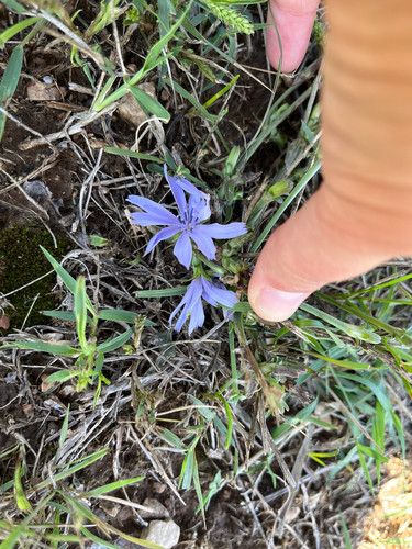
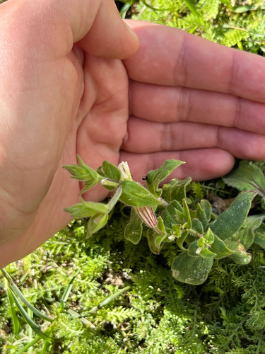
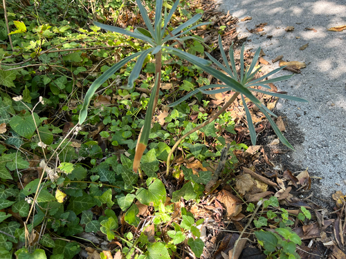
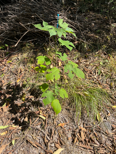
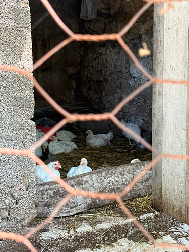
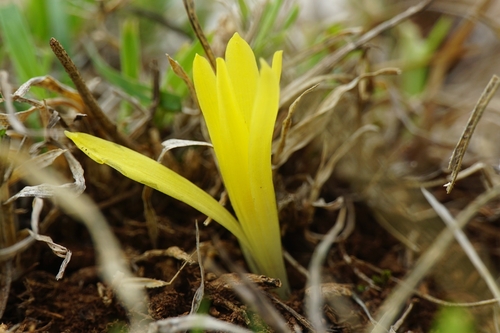
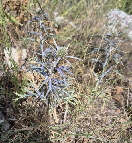
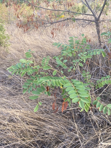
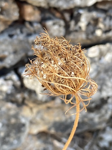
Research-grade observations from iNaturalist (within ~15 mi).
Events
Gallery
Sources
- • Wikipedia
- • Wikidata
- • iNaturalist
- • Open-Meteo / sunrise-sunset.org
- • Wikipedia Pageviews API