Browse / Croatia / Zadar / Vrsi
Vrsi
Zadarvillage
No image yet
Total population
1,627
Land area24.6 km²
WeatherAvg high 68.5°F
Coordinates44.26°, 15.23°
Demographic figures from Croatian Bureau of Statistics. Overview below cites Wikipedia and may reference a different year.
Loading additional data from public sources…0 / 11
CensusWikipediaWeatherPlacesPeopleEnvironmentHealth & SchoolsRelatedGeography & CultureLive MonitoringEvents & Gallery
0% completeCity facts
Area
24.6 km²
Official website
www.vrsi.hrFacts from Wikidata (CC0).
Overview
Vrsi is a settlement and a municipality in the Zadar County in Croatia.
Read more on WikipediaHistory & geography
Geography
Latitude
44.2616
Longitude
15.2338
Water area
—
Coordinates & boundaries from the US Census TIGER/Line shapefiles.
Climate
Avg high
68.5°F
Avg low
54°F
Annual precipitation
51.8 in
10-year averages from ERA5 reanalysis (Open-Meteo).
Air quality
Walkability
Amenities nearby
Wildlife & biodiversity
Earthquake history
Photos
Sights & places nearby
Notable people from here

Josip Skoblar
Croatian football player and manager (born 1941)

Gregory of Nin
Croatian bishop

Juraj Baraković
Croatian poet

Mark Liveric
American soccer player
N
Neven Ljubičić
Croatian physician
K
Katija Zubčić
actress
M
Mihovil Mijo Kapović
Croatian jurist and politician
M
Mirko Miočić
Yugoslav and Croatian quiz player
M
Marko Ćolić
Austrian-Croatian general
People born within ~10 km, from Wikidata (CC0). Click any name for their Wikipedia article.
Nearby places in Zadar
- Ljubač3 mi away · pop. 475
- Rtina4 mi away · pop. 452
- Krneza4.1 mi away · pop. 177
- Žerava4.1 mi away · pop. 208
- Smokvica4.6 mi away · pop. 55
- Briševo7.6 mi away · pop. 657
- Lovinac8 mi away · pop. 278
- Jovići8.1 mi away · pop. 344
- Povljana8.4 mi away · pop. 759
- Murvica Gornja8.7 mi away · pop. 253
- Poličnik9.4 mi away · pop. 1,035
- Gornji Poličnik9.7 mi away · pop. 140
Geography & sun
Avg solar (kWh/m²/day)
3.79
Annual solar (kWh/m²)
1,383
Elevation, sunrise/sunset and daylight from Open-Meteo. Solar climatology from NASA POWER.
Nearby airports
Public attention
Wikipedia views (last 30 days)
92
Avg daily Wikipedia views
3
Attention level
Obscure
Pageview totals from the Wikimedia Pageviews API.
Books about this place
Recent natural events nearby
Ground air-quality sensors
Recently spotted species
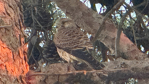
Eurasian Kestrel
Falco tinnunculus
Seen 2026-09-25
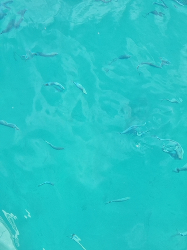
Saddled Seabream
Oblada melanurus
Seen 2026-09-24

Satureja subspicata
Satureja subspicata
Seen 2026-09-23

Colchicum haynaldii
Colchicum haynaldii
Seen 2026-09-23

Turkish starflower
Sternbergia colchiciflora
Seen 2026-09-23

European Mantis
Mantis religiosa
Seen 2026-09-23
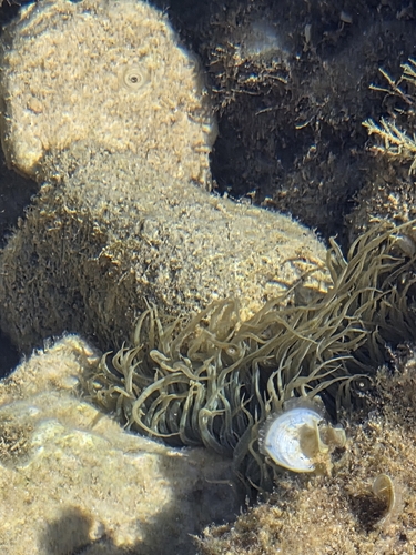
snakelocks anemone
Anemonia viridis
Seen 2026-09-23
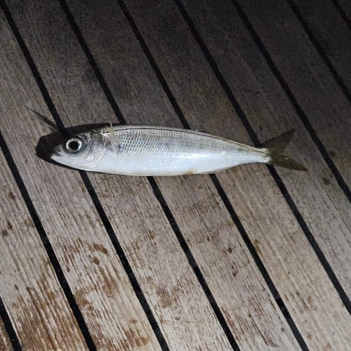
Bogue
Boops boops
Seen 2026-09-21
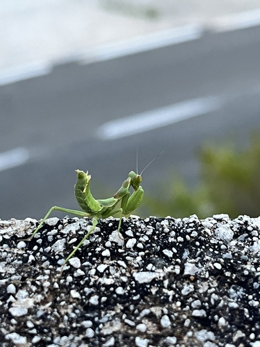
European Dwarf Mantis
Ameles spallanzania
Seen 2026-09-20
Research-grade observations from iNaturalist (within ~15 mi).
Events
Gallery
Sources
- • Wikipedia
- • Open-Meteo (ERA5 reanalysis)
- • Wikidata
- • iNaturalist
- • Open-Meteo / sunrise-sunset.org
- • Wikipedia Pageviews API