Browse / Croatia / Zagreb County / Zaprešić
Zaprešić
Zagreb Countytown

Zaprešić
Total population
18,768
Demographic figures from Croatian Bureau of Statistics. Overview below cites Wikipedia and may reference a different year.
City facts
Facts from Wikidata (CC0).
Overview
Zaprešić is a town in Zagreb County, in central Croatia. It has a population of 19,644 inhabitants in the town proper, with 25,223 in the administrative area. The town's metropolitan area, which encompasses the seven neighbouring municipalities, has a population of 54,640. Zaprešić is the third-largest, and most densely populated town of the county. It is located northwest of the Croatian capital Zagreb, and near the Slovenian border. It is centered on plains north of the Sava River, and is bordered by Medvednica Mountain to the east, and the Marija Gorica Hills to the west.
Read more on WikipediaHistory & geography
History
The first records of human inhabitants in area of what is today Zaprešić can be traced back to the Neolithic, which can be seen by stone axes found in nearby Brdovec, and axes from the Copper Age found in Marija Gorica. Hallstatt culture traces were also uncovered in the area of Sveti Križ. The Romans left their imprints on nearby in the form of the Siscia–Neviodunum–Emona road, which followed Sava River on its left bank through area of what is today Zaprešić, passing near modern settlements. In 1334, the parish church of St. Peter was founded in Zaprešić, marking the first evidence of the modern settlement of Zaprešić. The settlement developed rapidly, which is attributed to its position on trade and transit routes. Another revolt leader was Ilija Gregorić, a resident of Marija Gorica. In 1903, Zaprešić railway station was a hotspot of two anti-Hungarian riots caused by Khuen Hedervary's magyarization policy and breaking of Croatian–Hungarian Settlement of 1868 by installing Hungarian national symbols on railway objects across Croatia. These demonstrations were part of a wider national movement that swept the country at a time. In both occasions the demonstrations turned into a scuffle with local gendarmes which ended up with several peasants killed and dozens of locals arrested. Peasants that were killed or injured by the gendarmes are traditionally celebrated as a heroes and national martyrs. In their honour, two separate memorial boards were placed on the building of Zaprešić railway station in 1928. and 2003. After the First World War, the oldest meat industry in Croatia, the Industrija mesnih proizvoda, was founded. Zaprešić was formally established for the first time in 1952, when the Municipality of Zaprešić () was formed. The municipality operated as part of…
Geography
Zaprešić is a part of the metropolitan area of Croatia's capital and largest city, Zagreb. It is located northwest of Zagreb, lying near the confluence of the Krapina River, and the Sava River. Zaprešić has a lake, Lake Zajarki, situated between the town and the river Sava in the south. It is colloquially known as Bager (Croatian word for excavator). The lake is currently still used as a gravel pit, although it is a known destination for Zaprešić swimmers and beach goers, as well as local people and foreign tourists who do recreational fishing. Fishing activities on lake Zajarki are regulated by Šrd Šaran, Zaprešić. In 2017. the picnic zone was built on eastern side of a big lake which includes barbecue houses and beach volleyball, handball and football fields.
Excerpted from the corresponding Wikipedia article (CC BY-SA).
Geography
Coordinates & boundaries from the US Census TIGER/Line shapefiles.
Climate
Air quality
Walkability
Amenities nearby
Wildlife & biodiversity
Earthquake history
Photos
Sights & places nearby
Notable people from here


People born within ~10 km, from Wikidata (CC0). Click any name for their Wikipedia article.
Nearby places in Zagreb County
- Jablanovec2.5 mi away · pop. 1,378
- Vrbovec Samoborski3 mi away · pop. 271
- Pojatno3.3 mi away · pop. 1,213
- Bukovje Bistransko3.4 mi away · pop. 395
- Celine Samoborske3.5 mi away · pop. 292
- Trstenik3.7 mi away · pop. 350
- Samoborski Otok3.8 mi away · pop. 600
- Savski Marof4 mi away · pop. 29
- Donja Pušća4 mi away · pop. 794
- Novaki4.2 mi away · pop. 2,091
- Donji Laduč4.3 mi away · pop. 828
- Bregovljana4.5 mi away · pop. 122
Geography & sun
Elevation, sunrise/sunset and daylight from Open-Meteo. Solar climatology from NASA POWER.
Nearby airports
Public attention
Pageview totals from the Wikimedia Pageviews API.
Books about this place
Recent natural events nearby
Ground air-quality sensors
Recently spotted species

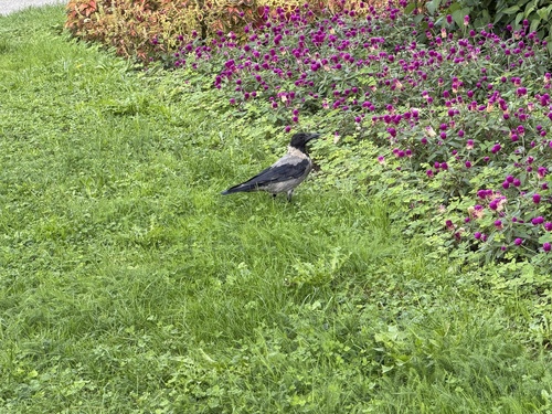
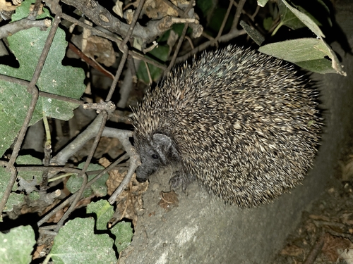

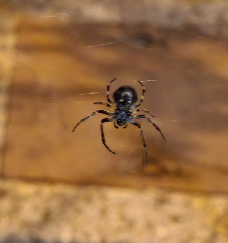
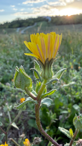
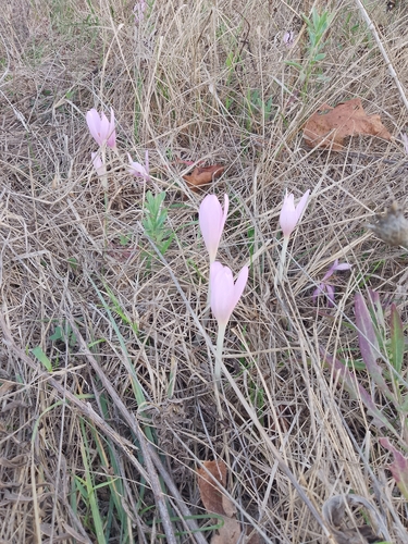
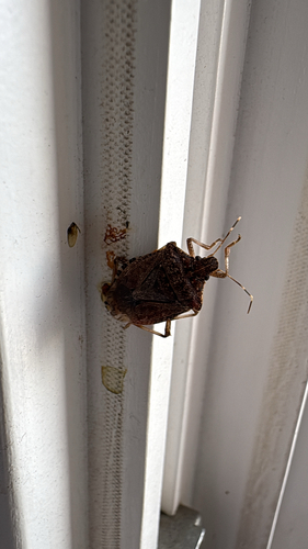
Research-grade observations from iNaturalist (within ~15 mi).
Events
Gallery
Sources
- • Wikipedia
- • Wikidata
- • iNaturalist
- • Open-Meteo / sunrise-sunset.org
- • Wikipedia Pageviews API