Browse / Hungary / Budapest / Budapest
Budapest
Budapestcity

Budapest
Total population
1,686,222
Founded
1873
Air quality index
Demographic figures from KSH (Hungary). Overview below cites Wikipedia and may reference a different year.
City facts
Sister cities
Facts from Wikidata (CC0).
Overview
Budapest is the capital and most populous city of Hungary. It is Hungary's primate city with 1.7 million inhabitants and its greater metro area has a population of about 3.3 million, representing one-third of the country's population and producing more than 40% of the country's economic output. Budapest is the political, economic, and cultural center of the country, among the ten largest cities in the European Union and the second largest urban area in Central and Eastern Europe. Budapest stands on the River Danube and is strategically located at the center of the Pannonian Basin, lying on ancient trade routes linking the hills of Transdanubia with the Great Plain.
Read more on WikipediaHistory & geography
History
The first settlement on the territory of Budapest was built by Celts before 1 AD. It was later occupied by the Romans. The Roman settlement – Aquincum – became the main city of Pannonia Inferior in 106 AD. The Romans constructed roads, amphitheatres, baths and houses with heated floors in this fortified military camp. The Roman city of Aquincum is the best-conserved of the Roman sites in Hungary. The archaeological site was turned into a museum with indoor and open-air sections. Meanwhile, settlement in the area east of the Danube, which was not part of the Roman Empire, remained Germanic and Sarmatian in character. The Magyar tribes led by Árpád, forced out of their original homeland north of Bulgaria by Tsar Simeon after the Battle of Southern Buh, settled in the territory at the end of the 9th century displacing the founding Bulgarian settlers of the towns of Buda and Pest, and a century later officially founded the Kingdom of Hungary. The Mongol invasion in the 13th century quickly proved it was difficult to defend a plain. In 1361 it became the capital of Hungary. The first Hungarian book was printed in Buda in 1473. Buda had about 5,000 inhabitants around the year 1500. The Ottomans conquered Buda in 1526, as well as in 1529, and finally occupied it in 1541. The Ottoman Rule lasted for more than 150 years. and in 1873 Buda and Pest were officially merged with the third part, Óbuda (Old Buda), thus creating the new metropolis of Budapest. The dynamic Pest grew into the country's administrative, political, economic, trade and cultural hub. Ethnic Hungarians overtook Germans in the second half of the 19th century due to mass migration from the overpopulated rural Transdanubia and Great Hungarian Plain. Between 1851 and 1910 the proportion of Hungarians…
Geography
Budapest, strategically placed at the centre of the Pannonian Basin, lies on an ancient route linking the hills of Transdanubia with the Great Plain. By car, it is southeast of Vienna, Austria; south of Warsaw, Poland; southwest of Moscow, Russia; north of Athens, Greece; northeast of Rome, Italy; northeast of Milan, Italy; southeast of Prague, Czech Republic; northeast of Zagreb, Croatia; northeast of Split, Croatia; and northwest of Istanbul, Turkey. The area of Budapest lies in Central Hungary, surrounded by settlements of the agglomeration in Pest county. The capital extends in the north–south, east–west direction respectively. The Danube enters the city from the north; later it encircles two islands, Óbuda Island and Margaret Island. Pest's terrain rises with a slight eastward gradient, so the easternmost parts of the city lie at the same elevation as Buda's smallest hills, notably Gellért Hill and Castle Hill. The Buda hills consist mainly of limestone and dolomite, the water created speleothems, the most famous ones being the Pálvölgyi cave (total length ) and the Szemlőhegyi cave (total length ). The hills were formed in the Triassic Period. The highest point of the hills and of Budapest is János Hill, at above sea level. The lowest point is the line of the Danube which is above sea level. Budapest is also rich in green areas. Of the occupied by the city, is green area, park and forest. The forests of Buda hills are environmentally protected. The city's importance in terms of traffic is very central, because many major European roads and European railway lines lead to Budapest. Budapest is one of only three capital cities in the world which has thermal springs (the others being Reykjavík in Iceland and Sofia in Bulgaria). Some 125 springs…
Excerpted from the corresponding Wikipedia article (CC BY-SA).
Geography
Coordinates & boundaries from the US Census TIGER/Line shapefiles.
Climate
10-year averages from ERA5 reanalysis (Open-Meteo).
Air quality
Current readings from Open-Meteo Air Quality API (Copernicus CAMS European reanalysis).
Walkability
Amenities nearby
Wildlife & biodiversity
Most-observed species
- Hooded CrowCorvus cornix Linnaeus, 1758 · Aves5,619
- Great TitParus major Linnaeus, 1758 · Aves5,102
- Eurasian BlackbirdTurdus merula Linnaeus, 1758 · Aves4,145
- Eurasian MagpiePica pica (Linnaeus, 1758) · Aves3,501
- Common Wood-PigeonColumba palumbus Linnaeus, 1758 · Aves3,198
- Rock PigeonColumba livia J.F.Gmelin, 1789 · Aves3,118
- Great Spotted WoodpeckerDendrocopos major (Linnaeus, 1758) · Aves2,562
- Eurasian Blue TitCyanistes caeruleus (Linnaeus, 1758) · Aves2,401
Citizen-science & research observations from the Global Biodiversity Information Facility (GBIF).
Earthquake history
Most recent
- M 4 — 2014-01-194 km ESE of Balassagyarmat, Hungary
- M 4.1 — 2013-06-054 km NE of Érsekvadkert, Hungary
- M 4.4 — 2013-04-225 km WNW of Heves, Hungary
- M 4.3 — 2011-01-291 km E of Kecskéd, Hungary
- M 2.9 — 2007-11-186 km SSE of Rimóc, Hungary
- M 4.1 — 2006-12-311 km ENE of Ecser, Hungary
Events from the USGS Earthquake Catalog (global) (FDSN Event Web Service).
Photos
Sights & places nearby
Notable people from here


People born within ~10 km, from Wikidata (CC0). Click any name for their Wikipedia article.
Nearby places in Budapest
- Ain Al-Alima - Ain Al-Ghazala1084.8 mi away
- Al-Qardaba1086.4 mi away
- Belkhather1087.8 mi away
- Al Marsas1090.4 mi away
- Qaryat Maqrun1092.8 mi away
- Qaryat al `Imamah1094 mi away
- Qaryat Ayt Zaydan1094.7 mi away
- ayt jawwad1096 mi away
- Tobruk1096.4 mi away · pop. 131,102
- tobruk city1096.4 mi away
- Madinat Ras Bayad1102.3 mi away
- Al Qa'rah1107.7 mi away
Geography & sun
Elevation, sunrise/sunset and daylight from Open-Meteo. Solar climatology from NASA POWER.
Nearby airports
Public attention
Pageview totals from the Wikimedia Pageviews API.
Books about Budapest

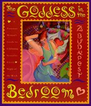



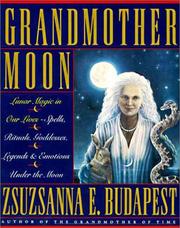
Search results from Open Library.
Recent natural events nearby
Ground air-quality sensors
Recently spotted species

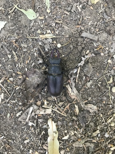
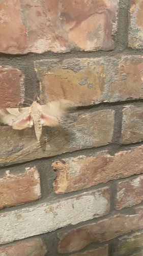
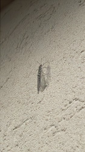
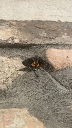

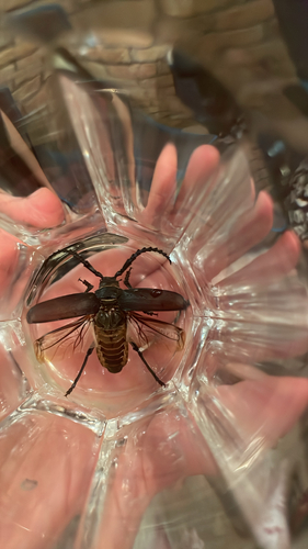
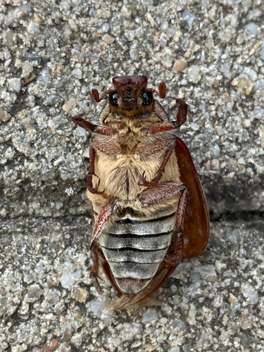
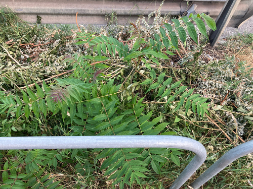
Research-grade observations from iNaturalist (within ~15 mi).
Events
Notable, recurring, and historical events associated with Budapest, sourced from Wikidata.
- Jun 1, 2022
- Jun 1, 2022
- artistic swimming at the 2022 World Aquatics Championships – duet free routineJun 1, 2022sporting event
swimming competition
- Jun 1, 2022
- Apr 1, 2022
- Apr 1, 2022
- Apr 1, 2022
- Apr 1, 2022
- Mar 1, 2022
- Mar 1, 2022
- Jan 1, 2022
- Jan 1, 2022
- 52nd International Eucharistic CongressSep 5, 2021recurring event edition
Catholic event held between 5–12 September 2021 in Budapest, Hungary
- Dec 2, 2019
- Oct 17, 2019
- Dec 14, 2018
- 2018 Christmas Cup - senior ice danceDec 1, 2018sporting event
- Oct 19, 2018
- Oct 19, 2018
- Oct 19, 2018
Source: Wikidata (CC0).
Gallery
Geotagged photos within ~6 miles of Budapest, from Wikimedia Commons contributors.
.jpg)
.jpg)
.jpg)
.jpg)
.jpg)
.jpg)
.jpg)
.jpg)
.jpg)
.jpg)
.jpg)
.jpeg)
.jpg)
.jpeg)
.jpeg)
.jpeg)
.jpeg)
.jpeg)
.jpeg)
.jpeg)
.jpeg)
.jpeg)
.jpeg)
.jpeg)
Photos via Wikimedia Commons — see each image page for license & attribution.
Sources
- • Wikipedia
- • Open-Meteo (ERA5 reanalysis)
- • Wikimedia Commons
- • Wikidata
- • Open-Meteo Air Quality (CAMS)
- • USGS Earthquake Catalog (global feed)
- • GBIF (Global Biodiversity Information Facility)
- • iNaturalist
- • Open-Meteo / sunrise-sunset.org
- • Wikipedia Pageviews API
- • Open Library