Browse / Hungary / Heves / Eger
Eger
Hevescity

Eger
Total population
49,499
Air quality index
Demographic figures from KSH (Hungary). Overview below cites Wikipedia and may reference a different year.
City facts
Sister cities
Facts from Wikidata (CC0).
Overview
Eger is the county seat of Heves County, and the second largest city in Northern Hungary. A city with county rights, Eger is best known for its medieval castle, thermal baths, baroque buildings, the northernmost Ottoman minaret, and red wines. Its population of around 53,000 (2017) makes it the 19th largest centre of population in Hungary, according to the census. The town is located on the Eger Stream, on the hills between the Mátra and Bükk Mountains. The main campus of Eszterházy Károly Catholic University is in Eger.
Read more on WikipediaHistory & geography
History
Eger has been inhabited since the Stone Age. Today's Eger may have been formed in the 10th century by St. Stephen (997–1038), the first Christian king of Hungary, who founded an episcopal see in Eger. The first cathedral of Eger was built on Castle Hill, within the present site of Eger Castle. Eger grew around this cathedral, and remains an important religious centre in Hungary. This settlement took up an important place among the Hungarian towns even in the early Middle Ages. The natural fundamentals of the surroundings (meeting of plains and hills) made it possible to establish economic and cultural relations between the different parts of the country. During the 11th and 12th centuries, Walloon settlers came from the areas beyond the Rhine. In World War II, the city suffered under the retreating German Army and the arriving Soviet army, but it managed to escape major bombardment. In the decades after 1945, industrialization of the town commenced because of the change of regime. As a consequence, Eger's former character of a cultural centre began to fade, which diminished the patina of the settlement. It was of great fortune that in 1968 the baroque inner city was preserved. It was saved from the deterioration (and from the construction of unsuitable, modern buildings). Eger is famous for its wines, most notably the "Egri Bikavér" (Bull's Blood of Eger). It is also well known for "Egri Víz", a type of brandy which originated in the 18th century, the "bujavászon" (a special Turkish tissue), as well as its thermal baths. Today, Eger is a prosperous town and popular tourist destination with a charming Baroque town centre.
Geography
Eger has a humid continental climate (Köppen: Dfb) closely bordering on an oceanic climate (Cfb) or humid subtropical climate (Cfa). The annual average temperature of Eger is , and the warmest July has an average temperature of , while January is the only month below freezing, with an average temperature of . |source 2 = NOAA}}
Excerpted from the corresponding Wikipedia article (CC BY-SA).
Geography
Coordinates & boundaries from the US Census TIGER/Line shapefiles.
Climate
Air quality
Current readings from Open-Meteo Air Quality API (Copernicus CAMS European reanalysis).
Walkability
Amenities nearby
Wildlife & biodiversity
Most-observed species
- Great TitParus major Linnaeus, 1758 · Aves341
- Eurasian BlackbirdTurdus merula Linnaeus, 1758 · Aves311
- Indian PokeweedPhytolacca acinosa Roxb. · Magnoliopsida309
- Eurasian NuthatchSitta europaea Linnaeus, 1758 · Aves261
- Great Spotted WoodpeckerDendrocopos major (Linnaeus, 1758) · Aves252
- Song ThrushTurdus philomelos C.L.Brehm, 1831 · Aves251
- Common ChaffinchFringilla coelebs Linnaeus, 1758 · Aves247
- Collared FlycatcherFicedula albicollis (Temminck, 1815) · Aves220
Citizen-science & research observations from the Global Biodiversity Information Facility (GBIF).
Earthquake history
Most recent
- M 4 — 2014-01-194 km ESE of Balassagyarmat, Hungary
- M 4.1 — 2013-06-054 km NE of Érsekvadkert, Hungary
- M 4.4 — 2013-04-225 km WNW of Heves, Hungary
- M 2.9 — 2007-11-186 km SSE of Rimóc, Hungary
- M 4.1 — 2006-12-311 km ENE of Ecser, Hungary
- M 3.1 — 2006-09-154 km E of Nagykáta, Hungary
Events from the USGS Earthquake Catalog (global) (FDSN Event Web Service).
Photos
Sights & places nearby
Notable people from here


People born within ~10 km, from Wikidata (CC0). Click any name for their Wikipedia article.
Nearby places in Heves
- Egerszalók3.1 mi away · pop. 1,976
- Ostoros3.4 mi away · pop. 2,901
- Andornaktálya4.2 mi away · pop. 2,603
- Egerbakta4.6 mi away · pop. 1,396
- Egerszólát5 mi away · pop. 1,008
- Demjén5.2 mi away · pop. 972
- Noszvaj5.4 mi away · pop. 1,867
- Felsőtárkány5.4 mi away · pop. 3,455
- Novaj5.7 mi away · pop. 1,293
- Nagytálya5.9 mi away · pop. 894
- Szarvaskő6.5 mi away · pop. 312
- Maklár6.8 mi away · pop. 2,380
Geography & sun
Elevation, sunrise/sunset and daylight from Open-Meteo. Solar climatology from NASA POWER.
Nearby airports
Public attention
Pageview totals from the Wikimedia Pageviews API.
Books about Eger


Search results from Open Library.
Recent natural events nearby
Ground air-quality sensors
Recently spotted species
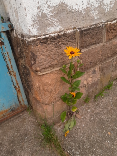
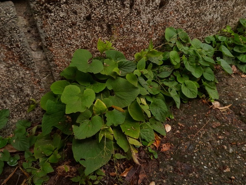
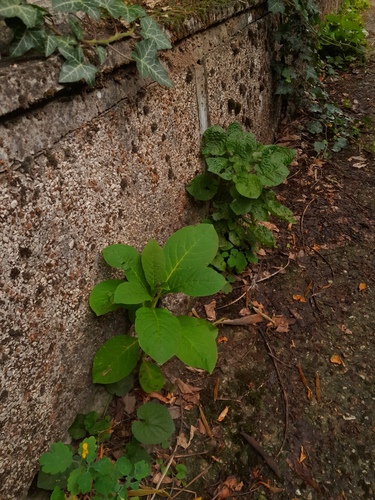
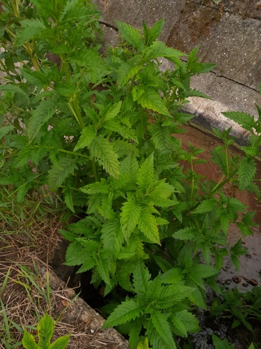
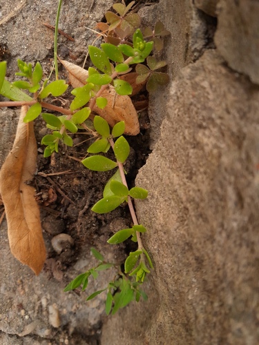
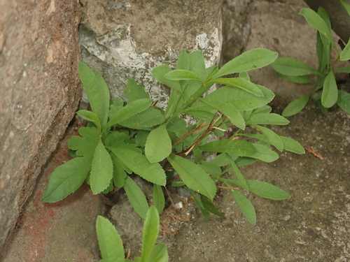
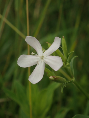
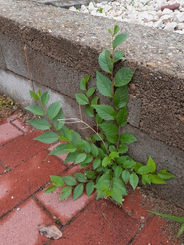
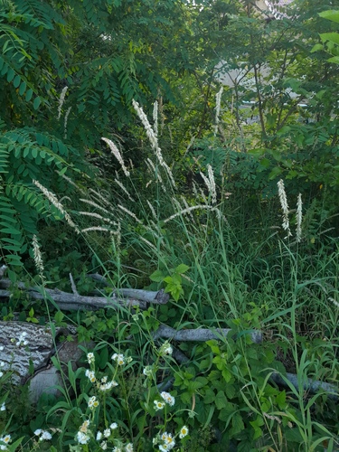
Research-grade observations from iNaturalist (within ~15 mi).
Events
Gallery
Geotagged photos within ~6 miles of Eger, from Wikimedia Commons contributors.
_(5554._sz%C3%A1m%C3%BA_m%C5%B1eml%C3%A9k)_5.jpg)


-2_-_panoramio.jpg)


.jpg)


.jpg)

.jpg)
.jpg)

.jpg)

.jpg)
Photos via Wikimedia Commons — see each image page for license & attribution.
Sources
- • Wikipedia
- • Wikimedia Commons
- • Wikidata
- • Open-Meteo Air Quality (CAMS)
- • USGS Earthquake Catalog (global feed)
- • GBIF (Global Biodiversity Information Facility)
- • iNaturalist
- • Open-Meteo / sunrise-sunset.org
- • Wikipedia Pageviews API
- • Open Library