Browse / United States / Iowa / Albia
Albia
Iowacity

Albia
Total population
3,663
Median home value
$130,300
Bachelor's+
Median income
$70,455
Demographic figures from US Census Bureau · ACS 5-year estimates. Overview below cites Wikipedia and may reference a different year.
City facts
Facts from Wikidata (CC0).
Overview
Albia is a city in and the county seat of Monroe County, in southern Iowa, United States. The population was 3,721 at the 2020 census. Albia is located at the junction of U.S. Route 34 and Iowa Highways 137 and 5. The city of Albia and the surrounding area was a past center for coal mining in Iowa, and is now known for its historic square, and collection of Victorian, Tudor, Gothic, and Italianate homes.
Read more on WikipediaHistory & geography
History
Albia was incorporated as a town in 1856. The town was named after Albia, New York, the former home of an early settler. On Feb. 14, 1893, there was a coal mine explosion in the Chicago and Iowa mine, about 2.5 miles west of Albia. This room and pillar mine had opened around 1877. By the time of the explosion, mining extended more than 1,000 yards from the hoisting shaft, and the mine employed 60 miners and 20 other men. One miner was killed outright and seven died later of their injuries, after a "shot" (gunpowder charge used to bring down the coal) ignited a dust explosion in the mine. This was one of only two major mine disasters in Iowa between 1888 and 1913. In the early 20th century, the region around Albia was dotted with coal mining camps and company towns. Of these, Buxton, 9 miles north of Albia, is the most widely studied. It had a large Black population. Other former coal camps in the area include Hiteman, Bluff Creek, Lockman, Coalfield, Hocking, and Hynes. The growth in membership in the United Mine Workers union, as shown by the following data, is a useful measure of the importance of mining in the region. In 1902, UMW Locals 692 and 793 in Albia had an aggregate membership of 216. By 1912, UMW Locals 407, 782 and 793 in Albia had an aggregate membership of 338 (about 7.2% of the 1910 population). Miners in Hiteman, 5 miles northwest of town, joined the UMWA in 1898; between 1902 and 1912, membership grew from 450 to 688. Miners in Hynes, 7 miles east, joined the UMWA in 1896; between 1902 and 1912, membership grew from 330 to 543.
Geography
According to the United States Census Bureau, the city has a total area of , all land. According to the Köppen Climate Classification system, Albia has a hot-summer humid continental climate, abbreviated "Dfa" on climate maps.
Excerpted from the corresponding Wikipedia article (CC BY-SA).
Demographics & economy
Race & ethnicity
Source: US Census Bureau — American Community Survey, 5-year estimates.
Geography
Coordinates & boundaries from the US Census TIGER/Line shapefiles.
Climate
Current forecast
Forecast for Albia, IA from NOAA NWS API.
Air quality
Industrial & pollution facilities
Natural hazard risk
Health (adults)
Age-adjusted prevalence estimates from CDC PLACES (latest release).
Walkability
Amenities nearby
Wildlife & biodiversity
Most-observed species
- Red-winged BlackbirdAgelaius phoeniceus (Linnaeus, 1766) · Aves105
- Turkey VultureCathartes aura (Linnaeus, 1758) · Aves102
- American RobinTurdus migratorius Linnaeus, 1766 · Aves81
- Blue JayCyanocitta cristata (Linnaeus, 1758) · Aves80
- Mourning DoveZenaida macroura (Linnaeus, 1758) · Aves79
- American CrowCorvus brachyrhynchos C.L.Brehm, 1822 · Aves71
- Northern CardinalCardinalis cardinalis (Linnaeus, 1758) · Aves68
- American GoldfinchSpinus tristis (Linnaeus, 1758) · Aves59
Citizen-science & research observations from the Global Biodiversity Information Facility (GBIF).
Schools
Largest nearby schools
- Albia High SchoolHigh · Albia · 374 students · 14.4:1 ratio
- Lincoln CenterElementary · Albia · 293 students · 12.7:1 ratio
- Grant CenterElementary · Albia · 233 students · 13.7:1 ratio
- Albia Middle SchoolMiddle · Albia · 164 students · 27.3:1 ratio
- Kendall CenterOther · Albia · 56 students · 28:1 ratio
Public K–12 schools within ~10 mi from Urban Institute Education Data Portal (NCES Common Core of Data, 2022).
Earthquake history
Most recent
- M 2.5 — 2025-06-2510 km WNW of Marysville, Iowa
- M 3 — 2025-06-255 km S of Knoxville, Iowa
- M 3.3 — 2025-06-258 km SE of Knoxville, Iowa
Events from the USGS Earthquake Catalog (global) (FDSN Event Web Service).
Photos
Sights & places nearby
Notable people from here


People born within ~10 km, from Wikidata (CC0). Click any name for their Wikipedia article.
Nearby places in Iowa
- Unionville15.5 mi away
- Beacon18.4 mi away · pop. 425
- Ottumwa19.8 mi away · pop. 25,430
- Drakesville23.1 mi away · pop. 149
- Fremont23.2 mi away · pop. 924
- Bloomfield27.8 mi away · pop. 2,742
- Cincinnati28 mi away · pop. 229
- Eldon31.5 mi away · pop. 726
- New Sharon31.7 mi away · pop. 1,180
- Batavia33.3 mi away
- Hayesville33.3 mi away · pop. 52
- What Cheer34.7 mi away
Geography & sun
Nearby airports
Public attention
Books about this place
Recent natural events nearby
Ground air-quality sensors
Recently spotted species
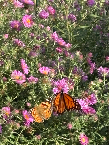
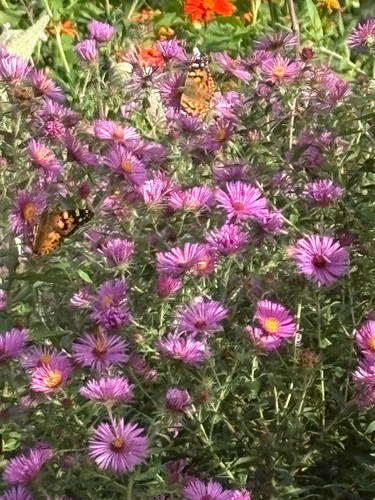
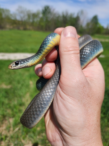
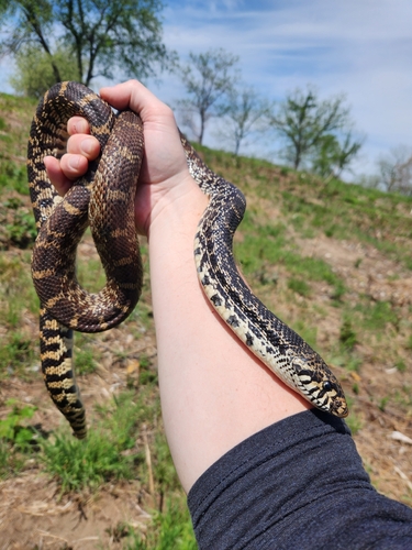
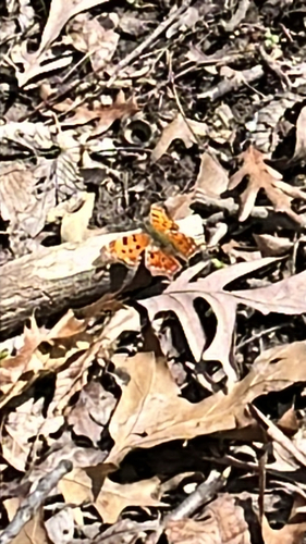
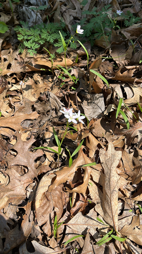
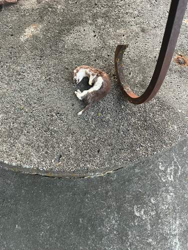
Research-grade observations from iNaturalist (within ~15 mi).
Nearest stream gauge
Events
Gallery
Sources
- • Wikipedia
- • US Census Bureau (ACS 5-year estimates)
- • NOAA National Weather Service
- • Wikidata
- • USGS Earthquake Catalog (global feed)
- • NCES via Urban Institute Education Data Portal
- • GBIF (Global Biodiversity Information Facility)
- • iNaturalist
- • CDC PLACES