Browse / United States / Iowa / Calamus
Calamus
Iowacity

Calamus
Total population
417
Median home value
$148,100
Bachelor's+
Median income
$68,250
Founded
1858
Demographic figures from US Census Bureau · ACS 5-year estimates. Overview below cites Wikipedia and may reference a different year.
- Flood Warning · SevereFlood Warning issued September 21 at 8:35PM CDT by NWS Quad Cities IA IL
Source: NOAA National Weather Service.
City facts
Facts from Wikidata (CC0).
Overview
Calamus is a small town in Clinton County, Iowa, United States, located on the historical Lincoln Highway, which was the first transcontinental highway for automobiles across the U.S.. Calamus is the only town in Olive Township and had a population of 356 at the 2020 census, which was a 9.6% decrease from 2000. Calamus was named after Calamus Creek, which received its name from the great quantities of sweet flag growing in it, derived from the botanical name Acorus calamus, commonly called Sweet Flag or Calamus.
Read more on WikipediaHistory & geography
History
In July 1858 the first railroad was built west from Clinton to Clarence, Iowa. It was called the Chicago, Iowa and Nebraska Railroad, later changed to Chicago Northwestern Railroad Co.. In the same year, Joseph D. Fegan was deputized to go to the cross roads of the Stage Coach Lines and the Indian Trails at Syracuse, which had a small stove and a saloon, to establish a post office in 1858. No one could suggest a name and Mr. Fegan asked "Is there no creek or anything?" "Yes, Calamus Creek." "Then let it be Calamus." Due to the large hazardous swamps, the Post Office and railway station were moved to a more favorable location in what is now the town of Calamus. The present day location of Calamus, a small village on the Union Pacific Railway, was platted in 1860 by R. S. Dickinson, who owned the land on the north side of the railroad, and Col. Milo Smith, who owned that on the south. James Keith opened the first store here containing a small stock of groceries and accessories, located about where the present day Faith Lutheran Church stands. In 1861, R. S. Dickinson and his son A. L. built the first general store, and opened a large and complete stock of general merchandise, and engaged in grain-buying. Two or three years later, another small store was opened by R. E. Houck. Thomas Franklin Butterfield built the first grain elevator, to care for the grain which had previously been hauled to Davenport. In 1868, two elevators had a thriving business and there were four general stores. The first hotel was built in the early 1860s and burned down in 1912. This building was located on the S.W. corner of 2nd and Railroad Streets and the first landlord was William Wick. Later the "Commercial Hotel" was erected on 2nd St. on the north half of Lot 6. This hotel had a livery…
Geography
Calamus is located in Olive Township. According to the United States Census Bureau, the city has a total area of , all land. * *Lost Nation (north) *Grand Mound (east) *Buena Vista (south), abandoned in 1914 *Dixon (south), across the Wapsipinicon River *Wheatland (west), across the Wapsipinicon River
Excerpted from the corresponding Wikipedia article (CC BY-SA).
Demographics & economy
Race & ethnicity
Source: US Census Bureau — American Community Survey, 5-year estimates.
Geography
Coordinates & boundaries from the US Census TIGER/Line shapefiles.
Climate
Current forecast
Forecast for Calamus, IA from NOAA NWS API.
Air quality
Industrial & pollution facilities
Natural hazard risk
Health (adults)
Walkability
Amenities nearby
Wildlife & biodiversity
Most-observed species
- Northern CardinalCardinalis cardinalis (Linnaeus, 1758) · Aves1,544
- American RobinTurdus migratorius Linnaeus, 1766 · Aves1,252
- Blue JayCyanocitta cristata (Linnaeus, 1758) · Aves1,245
- House SparrowPasser domesticus (Linnaeus, 1758) · Aves1,084
- Mourning DoveZenaida macroura (Linnaeus, 1758) · Aves1,049
- Downy WoodpeckerDryobates pubescens (Linnaeus, 1766) · Aves1,031
- House FinchHaemorhous mexicanus (P.L.Statius Müller, 1776) · Aves990
- Red-winged BlackbirdAgelaius phoeniceus (Linnaeus, 1766) · Aves956
Citizen-science & research observations from the Global Biodiversity Information Facility (GBIF).
Schools
Earthquake history
Events from the USGS Earthquake Catalog (global) (FDSN Event Web Service).
Photos
Sights & places nearby
Notable people from here
Nearby places in Iowa
Geography & sun
Elevation, sunrise/sunset and daylight from Open-Meteo. Solar climatology from NASA POWER.
Nearby airports
Public attention
Pageview totals from the Wikimedia Pageviews API.
Books about Calamus

Search results from Open Library.
Recent natural events nearby
Ground air-quality sensors
Recently spotted species
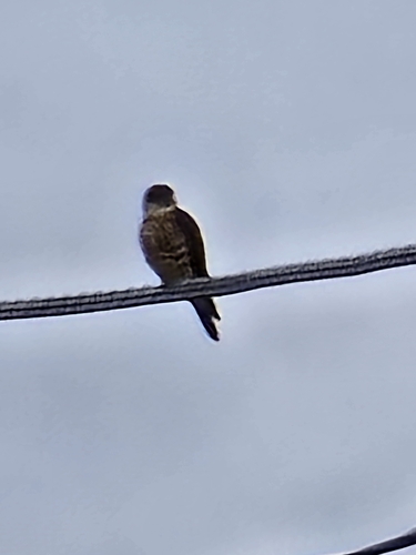
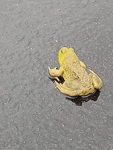
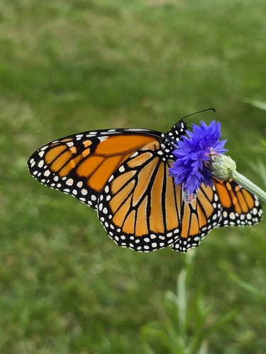
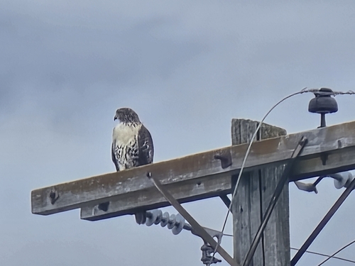
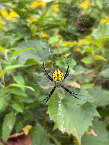
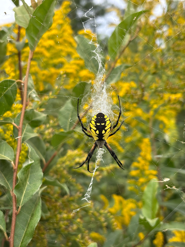
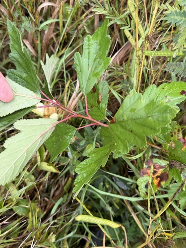
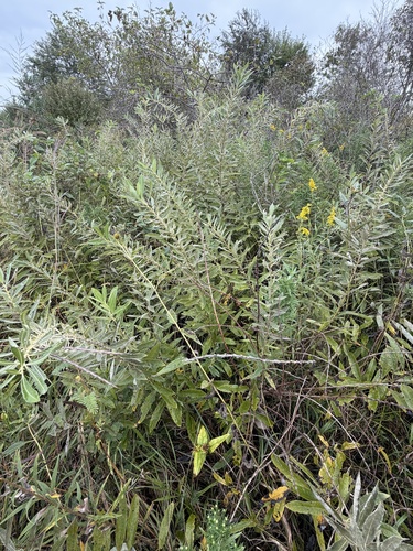
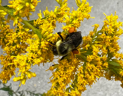
Research-grade observations from iNaturalist (within ~15 mi).
Nearest stream gauge
Events
Gallery
Sources
- • Wikipedia
- • US Census Bureau (ACS 5-year estimates)
- • NOAA National Weather Service
- • Wikidata
- • USGS Earthquake Catalog (global feed)
- • GBIF (Global Biodiversity Information Facility)
- • iNaturalist
- • Open-Meteo / sunrise-sunset.org
- • Wikipedia Pageviews API
- • Open Library