Browse / United States / Iowa / Carbon
Carbon
Iowacity

Carbon
Total population
46
Median home value
$0
Bachelor's+
Median income
$48,750
Demographic figures from US Census Bureau · ACS 5-year estimates. Overview below cites Wikipedia and may reference a different year.
City facts
Overview
Carbon is a city in Douglas Township, Adams County, Iowa, United States. The population was 36 at the 2020 census.
Read more on WikipediaHistory & geography
History
Carbon is located on the Middle Nodaway River. This was home to the Pottawatomie, Oto and Iowa Indian tribes, until the treaty of 1851 forced their removal to Kansas or Indian Territory, now known as Oklahoma. The first settler to Carbon was Elijah Walters, who established a sawmill there in 1849. He reported seeing huts and old camp fires but stated that the tribes had moved on, only to see an occasional "red man" appear and look over old camp sites and burial sites, then move on. Elijah built a mill on the Middle Nodaway river that became a great social center of its time. The village was originally named Walters, after its first settler, but was renamed Carbon after the discovery of coal. The city was established in 1873, but was not incorporated until July 18, 1903. A post office was established in Carbon in 1874, but from 1877 to 1880, the name was changed to Shinn. By the time of the Civil War, there were small coal mines along the riverbanks near Carbon. In 1894, there were nine coal mines in Carbon, of which five were then in use. Typical mine shafts were 80 feet deep, working a coal seam 12 to 20 inches (30 to 50 cm) thick. The town at that time was described as a mining camp. Unlike the vast majority of Iowa's coal camps, the UMWA had no union local in Carbon between 1900 and 1912; during that period, most of Iowa's coal camps were organized, and the largest UMWA locals in the country were based in Buxton and Centerville, Iowa. By 1908, it was estimated that the total coal production of the county had exceeded 350,000 tons, despite the lack of any rail connections. Most of this was from the Carbon area. Coal from the Carbon mines was sold locally, with some sold as far away as Corning and other towns within a 25-mile radius. The two most notable…
Excerpted from the corresponding Wikipedia article (CC BY-SA).
Demographics & economy
Race & ethnicity
Source: US Census Bureau — American Community Survey, 5-year estimates.
Geography
Coordinates & boundaries from the US Census TIGER/Line shapefiles.
Climate
Current forecast
Forecast for Carbon, IA from NOAA NWS API.
Air quality
Industrial & pollution facilities
Natural hazard risk
Health (adults)
Walkability
Amenities nearby
Wildlife & biodiversity
Schools
Largest nearby schools
- Corning Elementary SchoolElementary · Corning · 211 students · 9.2:1 ratio
- Southwest Valley High schoolHigh · Corning · 209 students · 13.9:1 ratio
Public K–12 schools within ~10 mi from Urban Institute Education Data Portal (NCES Common Core of Data, 2022).
Earthquake history
Photos
Sights & places nearby
Notable people from here


People born within ~10 km, from Wikidata (CC0). Click any name for their Wikipedia article.
Geography & sun
Elevation, sunrise/sunset and daylight from Open-Meteo. Solar climatology from NASA POWER.
Nearby airports
Public attention
Pageview totals from the Wikimedia Pageviews API.
Books about Carbon
Search results from Open Library.
Recent natural events nearby
Ground air-quality sensors
Recently spotted species
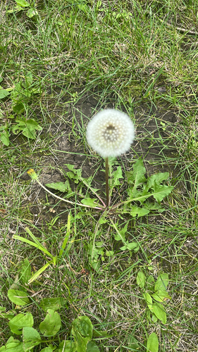
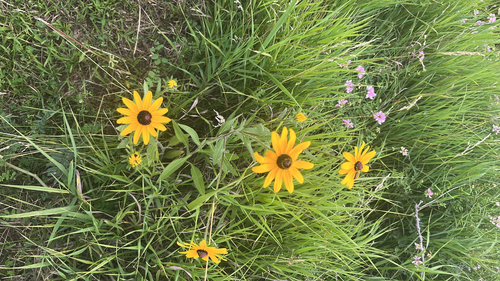
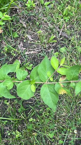
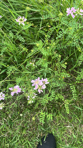
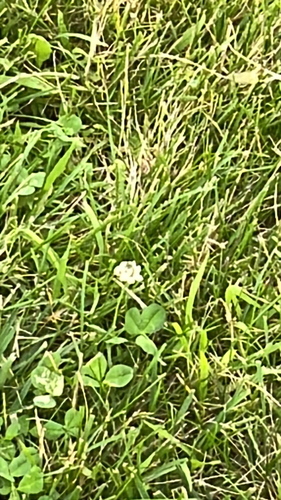
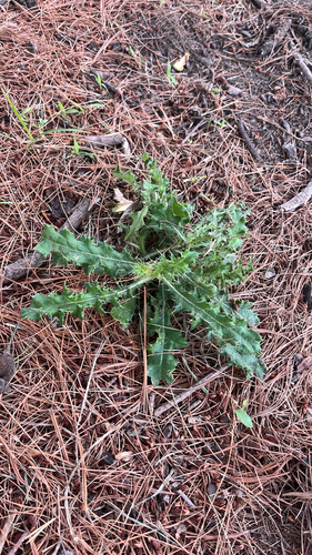
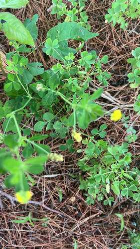
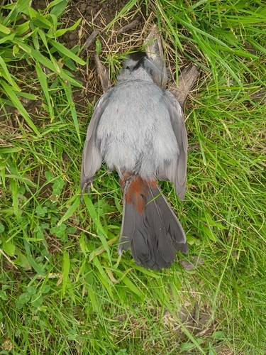
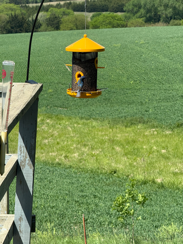
Research-grade observations from iNaturalist (within ~15 mi).
Nearest stream gauge
Live readings from USGS NWIS · measured 2026-09-26 18:15 UTC.
Events
Gallery
Sources
- • Wikipedia
- • US Census Bureau (ACS 5-year estimates)
- • NOAA National Weather Service
- • Wikidata
- • USGS NWIS (water data)
- • NCES via Urban Institute Education Data Portal
- • iNaturalist
- • Open-Elevation
- • Open-Meteo / sunrise-sunset.org
- • Wikipedia Pageviews API
- • Open Library