Browse / United States / Iowa / Lamoni
Lamoni
Iowacity

Lamoni
Total population
2,207
Median home value
$113,400
Bachelor's+
Median income
$54,554
Demographic figures from US Census Bureau · ACS 5-year estimates. Overview below cites Wikipedia and may reference a different year.
City facts
Facts from Wikidata (CC0).
Overview
Lamoni is a city in Decatur County, Iowa, United States. The population was 1,969 at the time of the 2020 Census. Lamoni is the home of Graceland University, affiliated with the Community of Christ, a denomination of the Latter Day Saint movement. The city was the church's headquarters from 1880 to 1920, after which it moved to Independence, Missouri.
Read more on WikipediaHistory & geography
History
The Lamoni area was first settled in 1834 to 1840 by people who thought they were settling in slave-owning Missouri. It was only after the Sullivan Line separating Missouri and Iowa was formally surveyed when Iowa became a state in 1846 that they realized they were in non-slave-owning Iowa. In 1851, freedom-seeking refugees from the Hungarian Revolution of 1848 sought to settle the area and form the community of New Buda (named for a neighborhood of Budapest). Their efforts did not result in a significant settlement. The city was named after Lamoni, a king mentioned in the Book of Mormon. Lamoni was sited just north of the Missouri border on good farmland in the northeast quadrant of Fayette Township, Decatur County, Iowa, because it is about 100 miles north of Temple Lot, an important location in church teachings. The Mormons had been evicted from Temple Lot and Missouri in the 1838 Mormon War. Members of the Church of Jesus Christ of Latter-day Saints, led by Brigham Young, had passed through the land in 1846, staying at nearby Garden Grove, Iowa, while en route from Nauvoo, Illinois (where they had settled after being forced to leave Missouri), to the Salt Lake Valley. and a private residence before becoming a museum. Charles Hyde and David Vredenburg, members of the church affiliated with the church-owned General Supply Company, which owned Lamoni mills, hardware and grocery stores, started a grocery store chain called the Supply Store in 1930, which in turn became Hy-Vee (from their two names). Lamoni remained the company's headquarters until 1945, when it moved to Chariton, Iowa.
Geography
Lamoni is located in southwest Decatur County on US Route 69. According to the United States Census Bureau, the city has an area of , of which is land and is water. Lamoni has a humid continental climate (Köppen climate classification Dfa).
Excerpted from the corresponding Wikipedia article (CC BY-SA).
Demographics & economy
Race & ethnicity
Source: US Census Bureau — American Community Survey, 5-year estimates.
Geography
Coordinates & boundaries from the US Census TIGER/Line shapefiles.
Climate
Current forecast
Forecast for Lamoni, IA from NOAA NWS API.
Air quality
Industrial & pollution facilities
Natural hazard risk
Health (adults)
Age-adjusted prevalence estimates from CDC PLACES (latest release).
Walkability
Amenities nearby
Wildlife & biodiversity
Schools
Largest nearby schools
- Lamoni Elementary SchoolElementary · Lamoni · 212 students · 14.1:1 ratio
- Lamoni High SchoolHigh · Lamoni · 98 students · 14:1 ratio
- Lamoni Middle SchoolMiddle · Lamoni · 70 students · 23.3:1 ratio
Public K–12 schools within ~10 mi from Urban Institute Education Data Portal (NCES Common Core of Data, 2022).
Earthquake history
Photos
Sights & places nearby
Notable people from here


People born within ~10 km, from Wikidata (CC0). Click any name for their Wikipedia article.
Nearby places in Iowa
Geography & sun
Nearby airports
Public attention
Books about this place
Recent natural events nearby
Ground air-quality sensors
Recently spotted species

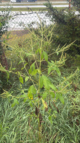
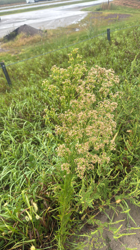
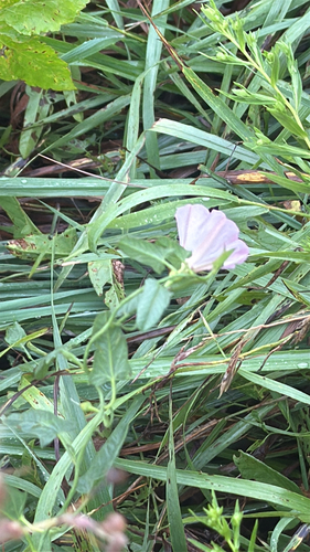
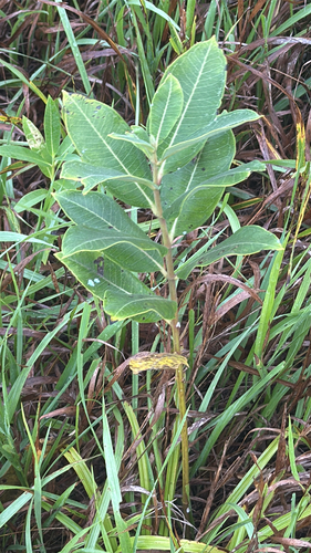
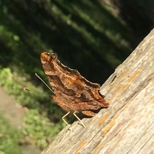
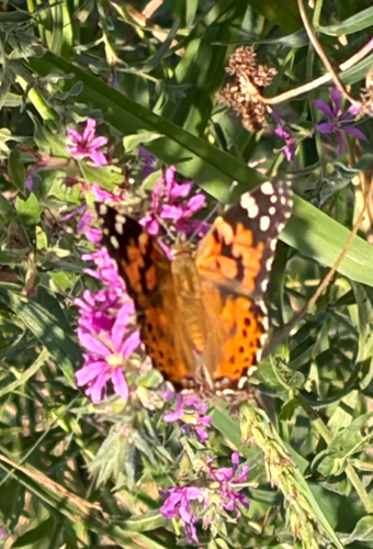
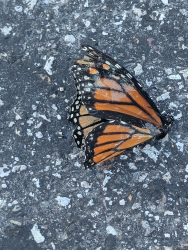
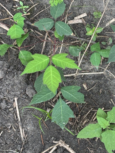
Research-grade observations from iNaturalist (within ~15 mi).
Nearest stream gauge
Events
Gallery
Sources
- • Wikipedia
- • US Census Bureau (ACS 5-year estimates)
- • NOAA National Weather Service
- • Wikidata
- • NCES via Urban Institute Education Data Portal
- • iNaturalist
- • CDC PLACES