Browse / United States / Iowa / Lone Tree
Lone Tree
Iowacity

Lone Tree
Total population
1,218
Median home value
$179,800
Bachelor's+
Median income
$90,625
Demographic figures from US Census Bureau · ACS 5-year estimates. Overview below cites Wikipedia and may reference a different year.
City facts
Facts from Wikidata (CC0).
Overview
Lone Tree is a city in southeastern Johnson County, Iowa, United States. It is part of the Iowa City, Iowa Metropolitan Statistical Area. The population was 1,357 at the time of the 2020 census.
Read more on WikipediaHistory & geography
History
Lone Tree was platted by John W. Jayne in 1872. Lone Tree derives its name from a giant elm that grew nearby in the pioneer era and served as a prairie landmark. This elm stood on a slight hill south of town. Local legend has it that the tree was so large, buffalo grazed under its expansive branches. It escaped prairie fires because of the lack of grass around the tree. The tree succumbed to the Dutch Elm disease of the 1960s, although valiant efforts were made to save it. The wood from the tree was used to make a sign denoting the tree's home on the hill southeast of the city limits. On December 9, 1985, during the 1980s farm crisis, a local farmer, Dale Burr, became distraught over his growing debt. He shot his wife Emily in their home. He then went to Hills Bank & Trust in the neighboring town of Hills and attempted to cash a check and when rebuffed, returned with a shotgun and killed bank president John Hughes. Next on his list was his neighbor Richard Goody, who had recently won a court settlement against Burr's son. When pulled over by Johnson County sheriffs, Burr shot himself fatally. Burr had left a note beside his wife's body. It said he "couldn't manage his problems anymore." The story was captured in Bruce Brown's book Lone Tree.
Geography
According to the United States Census Bureau, the city has a total area of , all land. Lone Tree is located alongside Iowa Highway 22.
Excerpted from the corresponding Wikipedia article (CC BY-SA).
Demographics & economy
Race & ethnicity
Source: US Census Bureau — American Community Survey, 5-year estimates.
Geography
Coordinates & boundaries from the US Census TIGER/Line shapefiles.
Climate
Air quality
Industrial & pollution facilities
Natural hazard risk
Health (adults)
Age-adjusted prevalence estimates from CDC PLACES (latest release).
Walkability
Amenities nearby
Wildlife & biodiversity
Schools
Largest nearby schools
- Lone Tree Elementary SchoolElementary · Lone Tree · 214 students · 12.6:1 ratio
- Lone Tree Middle-Senior High SchoolHigh · Lone Tree · 214 students · 12.6:1 ratio
- Hills Elementary SchoolElementary · Hills · 141 students · 8.8:1 ratio
Public K–12 schools within ~10 mi from Urban Institute Education Data Portal (NCES Common Core of Data, 2022).
Earthquake history
Photos
Sights & places nearby
Notable people from here

People born within ~10 km, from Wikidata (CC0). Click any name for their Wikipedia article.
Nearby places in Iowa
Geography & sun
Elevation, sunrise/sunset and daylight from Open-Meteo. Solar climatology from NASA POWER.
Nearby airports
Public attention
Pageview totals from the Wikimedia Pageviews API.
Books about Lone Tree
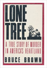

Search results from Open Library.
Recent natural events nearby
Ground air-quality sensors
Recently spotted species
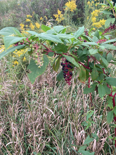
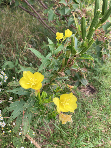
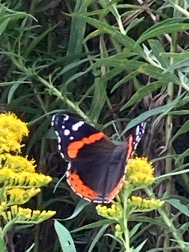
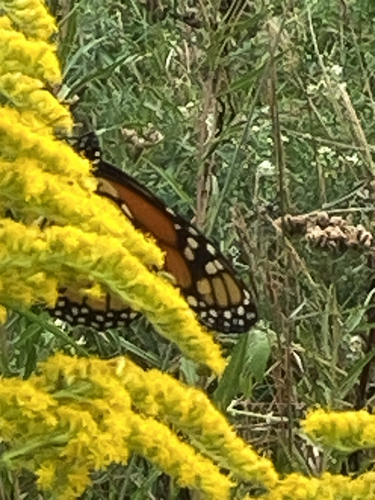
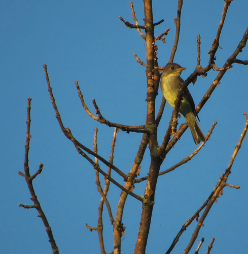
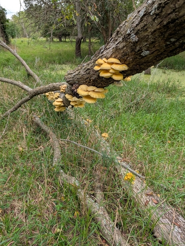
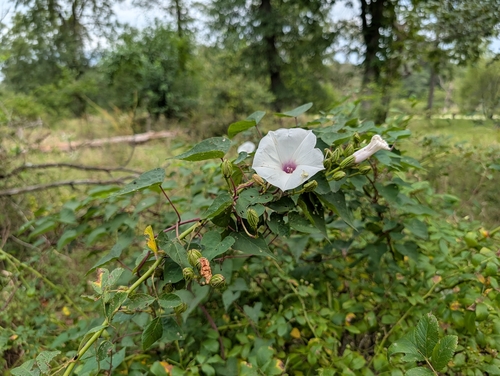
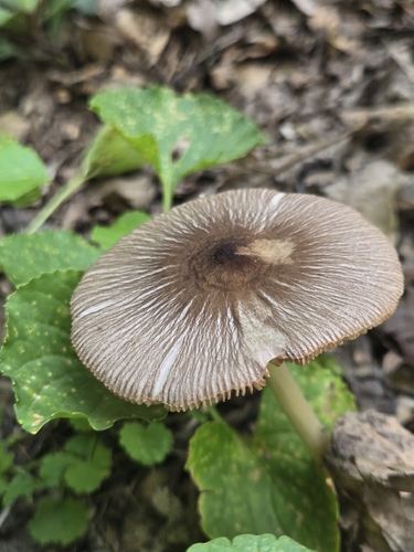
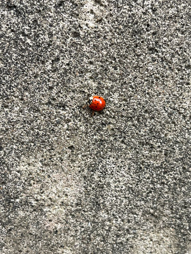
Research-grade observations from iNaturalist (within ~15 mi).
Nearest stream gauge
Events
Gallery
Sources
- • Wikipedia
- • US Census Bureau (ACS 5-year estimates)
- • Wikidata
- • NCES via Urban Institute Education Data Portal
- • iNaturalist
- • CDC PLACES
- • Open-Meteo / sunrise-sunset.org
- • Wikipedia Pageviews API
- • Open Library