Browse / United States / Iowa / West Des Moines
West Des Moines
Iowacity

West Des Moines
Total population
71,083
Median home value
$309,000
Bachelor's+
Median income
$86,594
Founded
1893
Demographic figures from US Census Bureau · ACS 5-year estimates. Overview below cites Wikipedia and may reference a different year.
City facts
Facts from Wikidata (CC0).
Overview
West Des Moines is a city in Iowa, United States. Most of the city is in Polk County, some of it is in Dallas County, and small portions extend into Warren and Madison Counties.
Read more on WikipediaHistory & geography
History
The West Des Moines area used to be home to the Sac and Meskwaki peoples. Near the stroke of midnight on October 11, 1845, a gunshot was fired by a cattle farmer, James Cunningham Jordan (1813–1891) to declare that the area was open for Anglo-European settlement. His residence, the Jordan House, has been restored and is now an historical home museum and home to the West Des Moines Historical Society. The Jordan House was a stop on the Underground Railroad, and abolitionist John Brown visited the Jordan property multiple times, at least once while escorting a group of freedom-seeking enslaved people to Canada. In West Des Moines' early years, the town was a trading and shipping junction. West Des Moines incorporated as the city of Valley Junction on October 9, 1893. In its early days, Valley Junction was home to the Chicago, Rock Island and Pacific Railroad's switching facilities and repair shops due to its location at the junction of several railroad lines. The Rock Island's facilities moved out of Valley Junction and back into Des Moines in 1936. The speed limit of an hour had existed for all automobiles Valley Junction since 1911. However, 1915 an Englishman named Jack Prince built a one-mile (1.6 km) oval race track, designed to let race cars break that speed limit ten times over. The wooden track was made of of 2x4's laid on edge. It was one of 24 such tracks nationwide; it had seating for over 10,000 people. On August 7, 1915, the eyes of the auto world were on Valley Junction in anticipation of the fastest auto race in history. Ralph DePalma, winner of the Indianapolis 500 that year, was one of at least a dozen drivers vying for the $10,000 purse. Before a crowd of 7,000 people, a tire blew, lunging Joe Cooper's car over the rail. Cooper was killed and…
Geography
According to the United States Census Bureau, the city has an area of , of which is land and is water. West Des Moines's location in the Raccoon River valley has left parts of it, particularly the Valley Junction area, prone to flooding. After the Great Flood of 1993, a floodwall was constructed along Walnut Creek (near the boundary with Des Moines) to protect that area. West Des Moines has a humid continental climate (Köppen climate classification Dfa). While nearby Clive, Urbandale, and Windsor Heights use the same street numbers for north–south streets that Des Moines uses, West Des Moines has its own street numbering system. Thus, 86th Street in Clive and Urbandale becomes 22nd Street in West Des Moines. Iowa Highway 28, which forms most of the boundary between Des Moines and West Des Moines, is 63rd Street in Des Moines but 1st Street in West Des Moines. Many of the east–west streets share the same name with Des Moines, although the numbering of these east–west streets starts over in West Des Moines.
Excerpted from the corresponding Wikipedia article (CC BY-SA).
Demographics & economy
Race & ethnicity
Source: US Census Bureau — American Community Survey, 5-year estimates.
Geography
Coordinates & boundaries from the US Census TIGER/Line shapefiles.
Climate
Current forecast
Forecast for West Des Moines, IA from NOAA NWS API.
Air quality
Industrial & pollution facilities
Natural hazard risk
Health (adults)
Age-adjusted prevalence estimates from CDC PLACES (latest release).
Walkability
Amenities nearby
Wildlife & biodiversity
Schools
Largest nearby schools
- Lincoln High SchoolHigh · Des Moines · 2,403 students · 26.7:1 ratio
- Valley High SchoolHigh · West Des Moines · 2,152 students · 17.9:1 ratio
- East High SchoolHigh · Des Moines · 2,040 students · 21.7:1 ratio
- Roosevelt High SchoolHigh · Des Moines · 1,986 students · 30.1:1 ratio
- Johnston Senior High SchoolHigh · Johnston · 1,790 students · 20.1:1 ratio
- North High SchoolHigh · Des Moines · 1,458 students · 22.1:1 ratio
- Urbandale High SchoolHigh · Urbandale · 1,347 students · 14.8:1 ratio
- Johnston Middle SchoolOther · Johnston · 1,166 students · 18.2:1 ratio
Public K–12 schools within ~10 mi from Urban Institute Education Data Portal (NCES Common Core of Data, 2022).
Earthquake history
Photos
Sights & places nearby
Notable people from here


People born within ~10 km, from Wikidata (CC0). Click any name for their Wikipedia article.
Nearby places in Iowa
- Des Moines9 mi away · pop. 213,188
- Martensdale12.4 mi away · pop. 569
- Adel12.6 mi away · pop. 6,430
- Dallas Center13.9 mi away · pop. 2,161
- Carlisle14.9 mi away · pop. 4,255
- Indianola17.1 mi away · pop. 16,044
- Earlham18 mi away · pop. 1,528
- Winterset18.5 mi away · pop. 5,416
- Bondurant19.6 mi away · pop. 8,560
- Ackworth20.5 mi away · pop. 75
- Hartford20.5 mi away · pop. 760
- Runnells21.9 mi away · pop. 440
Geography & sun
Elevation, sunrise/sunset and daylight from Open-Meteo. Solar climatology from NASA POWER.
Nearby airports
Public attention
Pageview totals from the Wikimedia Pageviews API.
Books about West Des Moines


Search results from Open Library.
Recent natural events nearby
Ground air-quality sensors
Recently spotted species
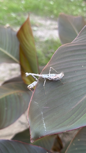
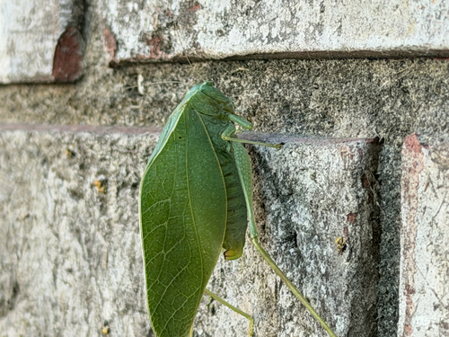
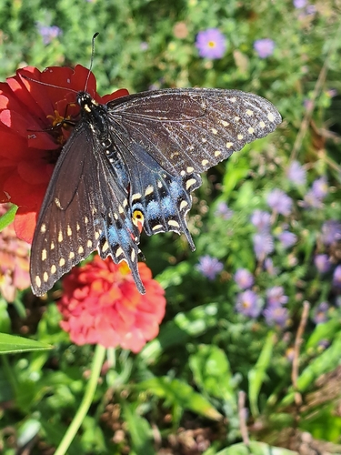
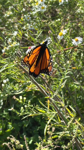
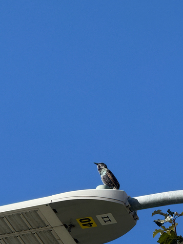
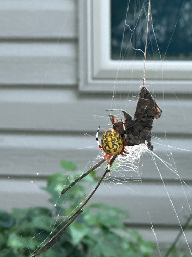
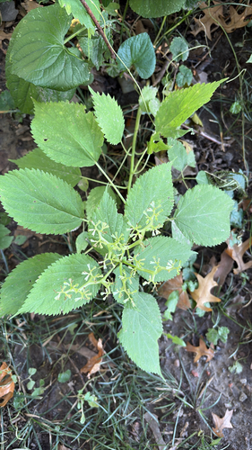
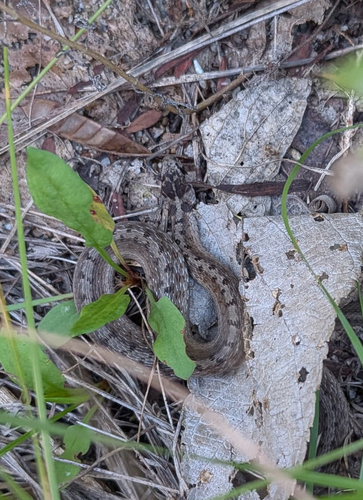
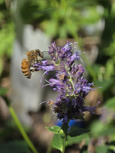
Research-grade observations from iNaturalist (within ~15 mi).
Nearest stream gauge
Events
Gallery
Sources
- • Wikipedia
- • US Census Bureau (ACS 5-year estimates)
- • NOAA National Weather Service
- • Wikidata
- • NCES via Urban Institute Education Data Portal
- • iNaturalist
- • CDC PLACES
- • Open-Meteo / sunrise-sunset.org
- • Wikipedia Pageviews API
- • Open Library