Browse / United States / Idaho / Island Park
Island Park
Idahocity

Island Park
Total population
170
Median home value
$293,800
Bachelor's+
Median income
$91,250
Demographic figures from US Census Bureau · ACS 5-year estimates. Overview below cites Wikipedia and may reference a different year.
City facts
Overview
Island Park is a city in Fremont County, Idaho, United States. The city's population was 193 at the 2020 census, down from 286 in 2010. The city was incorporated by owners of the many lodges and resorts along U.S. Route 20 in 1947, primarily to circumvent Idaho's liquor laws that prohibited the sale of liquor outside of city limits. It is only 500 feet (150 m) wide in most locations and at 33 miles (53 km), claims to have the longest "Main Street" in the world.
Read more on WikipediaHistory & geography
History
About 50,000 years ago, the area where the city is currently located was actually a very large volcano that exploded with extraordinary force. The volcanic eruption seems to have been so big to reach as far as Kansas. The native population within the area was mostly focused on the shores of the Snake River and around the shores of Henry’s Lake, and was pretty diverse. The local native population included: the Snake, Bannock, Lemhi, Tukudika, Crow and Flathead. He also lent his name to a ranch which he owned. Notably he welcomed the Hayden Survey Expedition into his ranch and home in 1872, and the fish, which he caught in Henry's Lake for the most part, reached markets as far as Butte and Salt Lake City. George Rea, the third settler, and last for a long while, specialized in hunting and operating his nearby trout farm. He most notably accompanied President Theodore Roosevelt various times in various posts around the area to hunt. operating what would become the "Island Park Land and Cattle Company", with E.H. Harriman buying a large share of holdings in 1908. The company would be operation up until 1977 when the whole territory was gifted to the State of Idaho by Roland and W. Averell Harriman, and renamed Harriman State Park. By the 1930s, the city was full of life and visitors, including President H. Hoover. Due to the need to monitor the liquor that was being sold within the area, in 1947, Island Park became incorporated in May 1947. During WW2, between the years of 1941 and 1942, there were concrete plans to create an U.S Army camp which would have been able to host up to 35.000 men within it. However, the project was dismissed.
Geography
Island Park is located at an elevation of above sea level, making it the highest city in Idaho. According to the United States Census Bureau, the city has a total area of , of which, is land and is water. The area was known as Island Park long before the -long town was incorporated. The area known as Island Park is mostly a large crater or caldera named the Henry's Fork Caldera that was created by the same hotspot that created the earlier Island Park Caldera and the later Yellowstone Caldera. In addition to the portion which lies on the Henry's Fork Caldera, about a third of what is known as Island Park is north of the caldera, extending across Henry's Lake Flat and Henry's Lake towards the Idaho/Montana border. Henry's Lake Flat is a flat bottomed valley between high mountain ranges, with Henrys Lake at the northwest end of the flats. Mount Jefferson, south of Henry's Lake, is high and Targhee Peak, north of Henrys Lake is high. The most famous of Island Park's peaks, however, is the Sawtell Peak, south of Henrys Lake near Mount Jefferson. The peak is known for its beauty and is named for a perceived resemblance to a Native American chief's profile while napping. The peak has also been called Chief Rains in the Face. Sawtell Peak is topped by a FAA radar dome and is visible from nearly anywhere in Island Park. Although much smaller than either the Island Park Caldera or the Yellowstone Caldera, the Henry's Fork Caldera is still one of the largest calderas in the world and is the only large caldera in the Yellowstone region that is plainly visible. It has a nearly level wide circular floor that slopes slightly towards the southeast. The caldera floor is at about of elevation with the rim generally being several hundred feet higher. The Henry's Lake Flat…
Excerpted from the corresponding Wikipedia article (CC BY-SA).
Demographics & economy
Race & ethnicity
Source: US Census Bureau — American Community Survey, 5-year estimates.
Geography
Coordinates & boundaries from the US Census TIGER/Line shapefiles.
Climate
Current forecast
Forecast for Island Park, ID from NOAA NWS API.
Air quality
Industrial & pollution facilities
Natural hazard risk
Health (adults)
Walkability
Amenities nearby
Wildlife & biodiversity
Schools
Earthquake history
Photos
Sights & places nearby
Notable people from here
Geography & sun
Elevation, sunrise/sunset and daylight from Open-Meteo. Solar climatology from NASA POWER.
Nearby airports
Public attention
Pageview totals from the Wikimedia Pageviews API.
Books about Island Park


Search results from Open Library.
Recent natural events nearby
- Wildfire Big Rock, Jefferson, IdahoWildfires · 2026-07-31 · 64 mi
- Wildfire Roe 2, Beaverhead, MontanaWildfires · 2026-08-27 · 76 mi
- Wildfire Bobcat Lakes, Beaverhead, MontanaWildfires · 2026-07-31 · 119 mi
- Wildfire Sand Creek, Beaverhead, MontanaWildfires · 2026-08-01 · 120 mi
- Wildfire Doublesprings, Custer, IdahoWildfires · 2026-07-24 · 125 mi
- Wildfire Windmill, Stillwater, MontanaWildfires · 2026-08-19 · 126 mi
- Wildfire Bare, Sublette, WyomingWildfires · 2026-08-04 · 130 mi
- Wildfire Lake Channel, Power, IdahoWildfires · 2026-07-29 · 154 mi
Wildfires, storms and other events from NASA EONET (last 12 months, within 250 mi).
Ground air-quality sensors
Recently spotted species
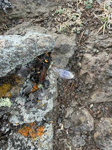
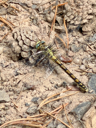
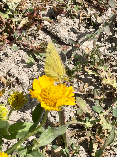
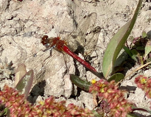
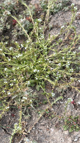


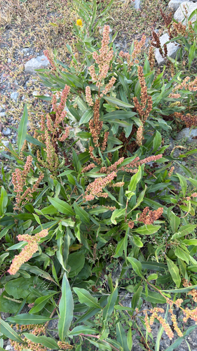
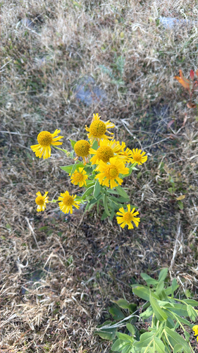
Research-grade observations from iNaturalist (within ~15 mi).
Nearest stream gauge
Events
Gallery
Sources
- • Wikipedia
- • US Census Bureau (ACS 5-year estimates)
- • NOAA National Weather Service
- • iNaturalist
- • Open-Meteo / sunrise-sunset.org
- • Wikipedia Pageviews API
- • Open Library
- • NASA EONET