Browse / Indonesia / Jakarta / Jakarta
Jakarta
Jakartacity

Jakarta
Total population
10,467,629
Founded
1527
Air quality index
Demographic figures from BPS Indonesia. Overview below cites Wikipedia and may reference a different year.
City facts
Sister cities
Facts from Wikidata (CC0).
Overview
Jakarta, officially the Special Capital Region of Jakarta, is the capital and largest city of Indonesia, with administrative status equivalent to a province. It lies on the northwestern coast of Java, bordering West Java and Banten and facing the Java Sea. Jakarta covers about 664 square kilometres and had 11 million registered residents in 2025. Its urban area extends well beyond the provincial boundary into the wider Jakarta metropolitan area, which had a population of nearly 42 million in 2025 according to the United Nations.
Read more on WikipediaHistory & geography
History
The Buni culture was a prehistoric pottery culture found in the coastal areas of northern and western Java. It is dated to roughly 400 BC–AD 100, with evidence suggesting that it may have continued until about AD 500. Written evidence from this period includes the mid-5th century Tugu inscription, found near Tanjung Priok in present-day North Jakarta. The inscription records the excavation of two waterways, the Candrabhaga and Gomati, and attributes the latter to King Purnawarman. However, the relationship between the waterways and the identity of the ruler responsible for the Candrabhaga are uncertain. By the 10th century, the Sunda Kingdom had emerged in western Java and ruled the area around present-day Jakarta. The Chinese work Chu-fan-chi describes Sin-t'o as having a harbour and producing pepper, with the work's translators Friedrich Hirth and William Woodville Rockhill identifying the place meant as Sunda in western Java. By the early 16th century, Kalapa was one of the Sunda Kingdom's leading ports. Tomé Pires described it as Sunda's most important trading port, drawing ships from Sumatra, Malacca, Java and elsewhere. In March 1513, the Portuguese captain at Malacca sent four ships to Java to obtain spices. The Sunda Kingdom concluded a treaty with Portugal on 21 August 1522. It allowed the Portuguese to build a fortress at Kalapa, as Sunda sought Portuguese support amid pressure from the sultanates of Cirebon and Demak. In 1527, Islamic forces captured Kalapa, but sources differ over whether Fatahillah or Sunan Gunung Jati led the conquest. After the conquest, Kalapa became a dependency of the Banten Sultanate and was recorded in foreign sources as Iacarta, Xacatra or Jacatra. Banten later developed into a major maritime power in western Java. In the early…
Geography
Jakarta covers about of land and of sea territory, including the waters around the Thousand Islands. The wider metropolitan region, commonly called Jabodetabek, extends into West Java and Banten and covers about of land. Daily commuting links Jakarta with surrounding municipalities, including Bogor, Depok, Tangerang and Bekasi. The city lies on Java's northwestern coast at the mouth of the Ciliwung river, facing Jakarta Bay. Except for some hilly areas in the south, Jakarta spreads across low, flat terrain. Much of Jakarta lies on an alluvial plain, with elevations ranging from below sea level to about . Thirteen rivers flow through the city from the south toward Jakarta Bay, including the Ciliwung, Angke, Sunter, and Grogol rivers. The alluvial plain was historically swampy, and seasonal flooding remains common. Heavy rain and runoff from upstream areas cause flooding, which can be worsened by high tides, land subsidence, blocked drains and limited river capacity. Jakarta's flood-control policy has long favoured engineered measures, including canals, dredging, pumping stations and coastal defences. Land subsidence is a major driver of coastal-flood risk in northern Jakarta. Groundwater extraction and the weight of buildings and infrastructure are among the human causes of subsidence. Beyond flooding, Jakarta also faces severe river-water and air pollution, with air pollution imposing substantial health burdens. Jakarta has a tropical monsoon climate with distinct wet and dry seasons. Rainfall is much heavier from December to March, while June to September is relatively dry. Flooding is common during the rainy season. Heavy rain and upstream runoff can overwhelm rivers and drains, while high tides, land subsidence and urban development can further increase flood…
Excerpted from the corresponding Wikipedia article (CC BY-SA).
Geography
Coordinates & boundaries from the US Census TIGER/Line shapefiles.
Climate
10-year averages from ERA5 reanalysis (Open-Meteo).
Air quality
Current readings from Open-Meteo Air Quality API (Copernicus CAMS European reanalysis).
Walkability
Amenities nearby
Wildlife & biodiversity
Most-observed species
- Eurasian Tree SparrowPasser montanus (Linnaeus, 1758) · Aves2,153
- Spotted DoveSpilopelia chinensis (Scopoli, 1786) · Aves2,142
- Cave SwiftletCollocalia linchi Horsfield & F.Moore, 1854 · Aves2,121
- Javan Pond-HeronArdeola speciosa (Horsfield, 1821) · Aves1,609
- Pink-necked PigeonTreron vernans (Linnaeus, 1771) · Aves1,327
- Yellow-vented BulbulPycnonotus goiavier (Scopoli, 1786) · Aves1,307
- Pacific SwallowHirundo javanica Sparrman, 1789 · Aves1,086
- Golden-bellied GerygoneGerygone sulphurea Wallace, 1864 · Aves1,067
Citizen-science & research observations from the Global Biodiversity Information Facility (GBIF).
Earthquake history
Most recent
- M 4.4 — 2026-08-1929 km NNW of Sepatan, Indonesia
- M 4.3 — 2026-02-212 km SSW of Teluknaga, Indonesia
- M 4 — 2025-12-0975 km NNE of Serang, Indonesia
- M 4.1 — 2025-09-2016 km W of Cicurug, Indonesia
- M 4.9 — 2025-08-2023 km SSE of Cikarang, Indonesia
- M 4.2 — 2025-07-3013 km NW of Kresek, Indonesia
Events from the USGS Earthquake Catalog (global) (FDSN Event Web Service).
Photos
Sights & places nearby
Notable people from here


People born within ~10 km, from Wikidata (CC0). Click any name for their Wikipedia article.
Nearby places in Jakarta
- Basohli3360.3 mi away · pop. 5,441
- Lakhanpur3363.3 mi away · pop. 1,759
- Kathua3365.8 mi away · pop. 51,995
- Nagri Parole3367.9 mi away · pop. 7,669
- Billawar3374.7 mi away · pop. 5,441
- Hiranagar3380 mi away · pop. 7,950
- Bounjwah3387.9 mi away · pop. 15,899
- Bhaderwah3388.5 mi away · pop. 11,081
- Samba3391.5 mi away · pop. 11,001
- Thathri3394 mi away · pop. 4,938
- Ramgarh3395 mi away · pop. 5,475
- Vijaypur3395.7 mi away · pop. 8,044
Geography & sun
Elevation, sunrise/sunset and daylight from Open-Meteo. Solar climatology from NASA POWER.
Nearby airports
Public attention
Pageview totals from the Wikimedia Pageviews API.
Books about Jakarta


Search results from Open Library.
Recent natural events nearby
Ground air-quality sensors
Recently spotted species
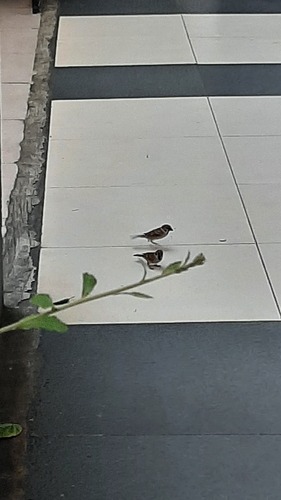
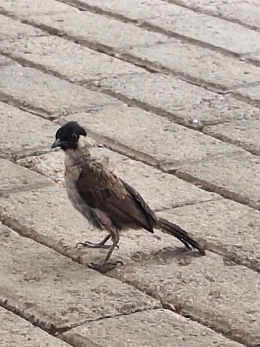
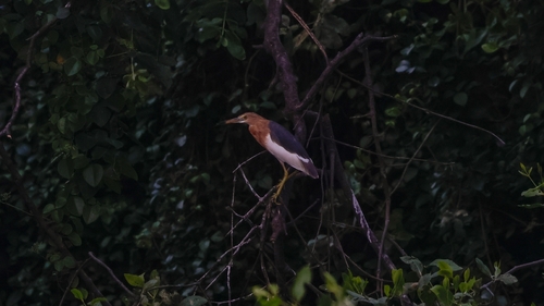
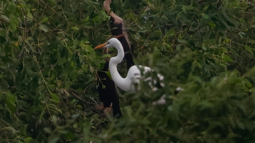
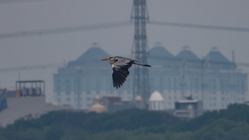
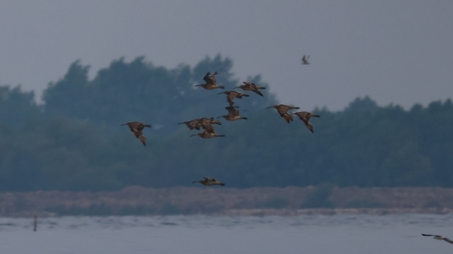
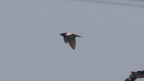
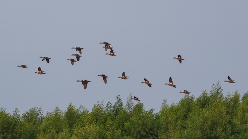
Research-grade observations from iNaturalist (within ~15 mi).
Events
Notable, recurring, and historical events associated with Jakarta, sourced from Wikidata.
- Jan 1, 2024
- Aug 28, 2020
- 7th Coal Buyers and Producers MeetingNov 6, 2019recurring event edition
- Q42295318Oct 28, 2017award ceremony
- Jan 1, 2016
- 1st Hospitality Indonesia ConferenceMay 12, 2015recurring event edition
- 1st Coal Buyers and Producers MeetingJan 1, 2013recurring event edition
- L-Men of The Year 2011Jan 1, 2011award ceremony
- 8th Annual Roundtable Meeting on Sustainable Palm OilNov 1, 2010recurring event edition
- Jan 15, 1974
- Abang None JakartaJan 1, 1968award ceremony
Source: Wikidata (CC0).
Gallery
Geotagged photos within ~6 miles of Jakarta, from Wikimedia Commons contributors.
_te_Djakarta_plaatsvindt_TMnr_10017790.jpg)


_-_panoramio.jpg)


Photos via Wikimedia Commons — see each image page for license & attribution.
Sources
- • Wikipedia
- • Open-Meteo (ERA5 reanalysis)
- • Wikimedia Commons
- • Wikidata
- • Open-Meteo Air Quality (CAMS)
- • USGS Earthquake Catalog (global feed)
- • GBIF (Global Biodiversity Information Facility)
- • iNaturalist
- • Open-Elevation
- • Open-Meteo / sunrise-sunset.org
- • Wikipedia Pageviews API
- • Open Library