Browse / United States / Idaho / Juliaetta
Juliaetta
Idahocity

Juliaetta
Total population
672
Median home value
$268,600
Bachelor's+
Median income
$52,455
Demographic figures from US Census Bureau · ACS 5-year estimates. Overview below cites Wikipedia and may reference a different year.
City facts
Facts from Wikidata (CC0).
Overview
Juliaetta is a city in Latah County, Idaho, United States. The town was named after the daughters of an early settler. In 2020, Juliaetta had a population of 624.
Read more on WikipediaHistory & geography
History
Juliaetta was originally known as Schupferville, named for Rupert Schupfer who homesteaded the land in 1878. He plotted one-half of his homestead as a town site and operated the first general store. By 1878, the town had a population of 200. In 1876, Charles Snyder established a post office and named the town after his daughters, Julia and Etta. He was the first postmaster of Juliaetta. In 1885 the first flour mill was built. The flour was labeled “Pride of the Potlatch” and was shipped all over the west coast of the United States. This business became Juliaetta Milling and Light Company. By 1889, the town had a bank, a newspaper, a jewelry store, a saddlery store, and a general store. Farmers in the area raised wheat, flax, oats, and hay in addition to fruit trees and large gardens. The town became incorporated in 1892. Agricultural products were transported via a tram from the ridges around town. By 1902, Juliaetta had two hotels, Grand Central Hotel and Palace Hotel. Dr. Robert Foster Sr. established Foster's School of Healing in 1903. The Juliaetta Cannery employed 100 people seasonally and produced up to 10,000 cans per day. It burned in 1911. Other businesses operating in Juliaetta in the early 1900s included a mercantile, undertakers, barber, shoeshine services, millinery, confectionery, dressmaker, skating rink, and dance hall. Juliaetta also had an opera house and a theater company.
Geography
Juliaetta is approximately north of the Nez Perce Indian Reservation; the Potlatch River runs parallel to Highway 3 on the east side of Juliaetta. According to the United States Census Bureau, the city has a total area of , of which, is land and is water.
Excerpted from the corresponding Wikipedia article (CC BY-SA).
Demographics & economy
Race & ethnicity
Source: US Census Bureau — American Community Survey, 5-year estimates.
Geography
Coordinates & boundaries from the US Census TIGER/Line shapefiles.
Climate
Current forecast
Forecast for Juliaetta, ID from NOAA NWS API.
Air quality
Industrial & pollution facilities
Natural hazard risk
Health (adults)
Age-adjusted prevalence estimates from CDC PLACES (latest release).
Walkability
Amenities nearby
Wildlife & biodiversity
Most-observed species
- House FinchHaemorhous mexicanus (P.L.Statius Müller, 1776) · Aves2,373
- Song SparrowMelospiza melodia (A.Wilson, 1810) · Aves2,070
- Black-capped ChickadeePoecile atricapillus (Linnaeus, 1766) · Aves2,026
- Lesser GoldfinchSpinus psaltria (Say, 1822) · Aves1,992
- Common RavenCorvus corax Linnaeus, 1758 · Aves1,738
- California QuailCallipepla californica (Shaw, 1798) · Aves1,673
- Spotted TowheePipilo maculatus Swainson, 1827 · Aves1,658
- Dark-eyed JuncoJunco hyemalis (Linnaeus, 1758) · Aves1,590
Citizen-science & research observations from the Global Biodiversity Information Facility (GBIF).
Schools
Largest nearby schools
- JULIAETTA ELEMENTARY SCHOOLElementary · JULIAETTA · 151 students · 18.9:1 ratio
- KENDRICK JR/SR HIGH SCHOOLHigh · KENDRICK · 138 students · 13.8:1 ratio
Public K–12 schools within ~10 mi from Urban Institute Education Data Portal (NCES Common Core of Data, 2022).
Earthquake history
Most recent
- M 2.7 — 2021-12-151 km NW of Lewiston Orchards, Idaho
- M 2.9 — 2021-10-168 km SSW of Culdesac, Idaho
- M 4.1 — 2018-11-2021 km SE of Stites, Idaho
- M 2.7 — 2018-07-2949 km NNE of Enterprise, Oregon
- M 2.51 — 2017-06-2129 km WNW of White Bird, Idaho
- M 2.65 — 2017-04-175 km ENE of Lewiston Orchards, Idaho
Events from the USGS Earthquake Catalog (global) (FDSN Event Web Service).
Photos
Sights & places nearby
Notable people from here
Nearby places in Idaho
- Kendrick3.5 mi away · pop. 327
- Genesee10.6 mi away · pop. 1,265
- Troy11.7 mi away · pop. 960
- Lapwai12.7 mi away · pop. 1,021
- Culdesac13.9 mi away · pop. 411
- Sweetwater14.9 mi away · pop. 163
- Peck15.1 mi away · pop. 194
- Deary17.2 mi away · pop. 458
- Moscow17.5 mi away · pop. 26,286
- Lewiston18.5 mi away · pop. 34,651
- Reubens19.1 mi away · pop. 68
- Orofino22.5 mi away · pop. 3,260
Geography & sun
Elevation, sunrise/sunset and daylight from Open-Meteo. Solar climatology from NASA POWER.
Nearby airports
Public attention
Pageview totals from the Wikimedia Pageviews API.
Books about Juliaetta

Search results from Open Library.
Recent natural events nearby
- Wildfire ALPOWA, Asotin, WashingtonWildfires · 2026-08-11 · 28 mi
- Wildfire PALOUSE RIVER, Whitman, WashingtonWildfires · 2026-08-08 · 35 mi
- Wildfire WELLS ROAD, Whitman, WashingtonWildfires · 2026-08-08 · 60 mi
- Prescribed Fire Starvation 11A Rx, Wallowa, OregonWildfires · 2026-09-30 · 66 mi
- Wildfire LITTLE GOOSE, Columbia, WashingtonWildfires · 2026-08-07 · 66 mi
- Wildfire Dudley, Shoshone, IdahoWildfires · 2026-08-26 · 76 mi
- Wildfire NUNAMAKER ROAD, Franklin, WashingtonWildfires · 2026-08-08 · 81 mi
- Wildfire Hatch Grade, Walla Walla, WashingtonWildfires · 2026-09-29 · 109 mi
Wildfires, storms and other events from NASA EONET (last 12 months, within 250 mi).
Ground air-quality sensors
Recently spotted species
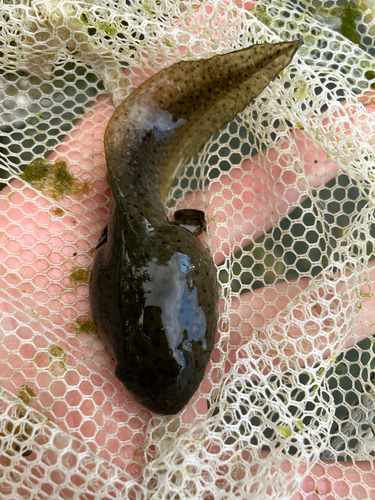
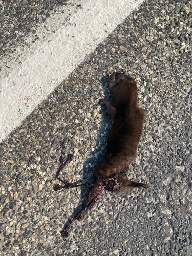
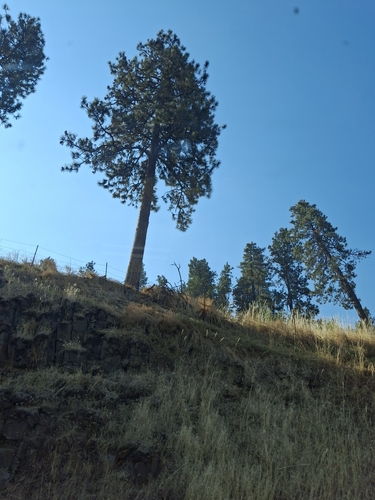
Research-grade observations from iNaturalist (within ~15 mi).
Nearest stream gauge
Live readings from USGS NWIS · measured 2026-10-16 06:45 UTC.
Events
Gallery
Sources
- • Wikipedia
- • US Census Bureau (ACS 5-year estimates)
- • NOAA National Weather Service
- • Wikidata
- • USGS Earthquake Catalog (global feed)
- • USGS NWIS (water data)
- • NCES via Urban Institute Education Data Portal
- • GBIF (Global Biodiversity Information Facility)
- • iNaturalist
- • CDC PLACES
- • Open-Meteo / sunrise-sunset.org
- • Wikipedia Pageviews API
- • Open Library
- • NASA EONET