Browse / Indonesia / East Nusa Tenggara / Kupang
Kupang
East Nusa Tenggaracity

Kupang
Total population
450,360
Founded
1886
Demographic figures from BPS Indonesia. Overview below cites Wikipedia and may reference a different year.
City facts
Facts from Wikidata (CC0).
Overview
Kupang, formerly known as Koepang, is the capital of the Indonesian province of East Nusa Tenggara. At the 2020 Census, it had a population of 442,758; the official estimate as of mid-2024 was 474,801. It is the largest city and port on the island of Timor, and is a part of the Timor Leste–Indonesia–Australia Growth Triangle free trade zone. Geographically, Kupang is the southernmost large city in Indonesia, as well as the closest to Australia.
Read more on WikipediaHistory & geography
History
Kupang was an important port and trading post during the Portuguese and Dutch colonial eras. There are still ruins and remnants of the colonial presence in the city. Representatives of the Dutch East India Company (VOC) first encountered Kupang in 1613 after having conquered the Portuguese fort on the island of Solor. At this time the area of the city was governed by a Raja of the Helong tribe, who claimed descent from the island of Seram in the Maluku archipelago. Kupang occupied an ideal strategic position to exercise control over parts of Timor since it was possible to monitor shipping activities along the south coast of the island from the location. Moreover, the Koinino River provided a supply of fresh water for the city. An agreement was reached between the VOC and the Helong tribe, but due to a lack of VOC presence in Timor, Kupang was heavily influenced by the Portuguese mestizo population of Flores, the Topasses, which led to the establishment of a Portuguese stronghold by the 1640s. However, by 1646, the VOC was firmly established on the nearby island of Solor and renewed their agreement with the local Raja of Kupang. In January 1653, a Dutch fortification, Fort Concordia, was built on an elevated position on the left bank of the river estuary. Kupang then became the base of the Dutch struggle against the Portuguese. After a series of defeats were inflicted on the Dutch between 1655 and 1657, large groups of refugees from the neighbouring VOC allies of the Sonbai and Amabi principalities settled into the vicinity of Kupang and formed small polities on land that had traditionally belonged to the Helong. They were followed by two other groups, the Amfoang and the Taebenu, who arrived in 1683 and 1688, respectively. The Helong Raja remained the "Lord of the…
Geography
Kupang is located on the southwestern tip of the island of Timor. It is solely bordered by the Kupang Regency on land and on its northern shore by the Savu Sea. It has a land area of 180.27 square kilometers (which is divided into six administrative districts), along with a water area of 94.79 square kilometers. The area around the city is geologically inactive, with soil composition characterised by non-volcanic materials such as Latosol and Terra rossa. At its highest point, the city is 62 metres above sea level, with inclination varying from 0 - 5%. Under the Köppen climate classification, Kupang has a tropical savanna climate (Aw). Unlike many cities with this climate, Kupang's temperature varies little between the summer season (October to March) and the winter season (April to September). The hottest month is October (with an average temperature of ), while the coolest is July (with an average temperature of ). The city experiences extreme wet and dry seasons, with January being the wettest month (with an average total rainfall of ), while August and September are the driest months (with an average of only of rain in each month).
Excerpted from the corresponding Wikipedia article (CC BY-SA).
Geography
Coordinates & boundaries from the US Census TIGER/Line shapefiles.
Climate
Air quality
Walkability
Amenities nearby
Wildlife & biodiversity
Earthquake history
Photos
Sights & places nearby
Notable people from here
Nearby places in East Nusa Tenggara
Geography & sun
Elevation, sunrise/sunset and daylight from Open-Meteo. Solar climatology from NASA POWER.
Nearby airports
Public attention
Pageview totals from the Wikimedia Pageviews API.
Books about Kupang
Search results from Open Library.
Recent natural events nearby
Ground air-quality sensors
Recently spotted species
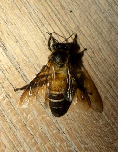
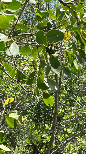
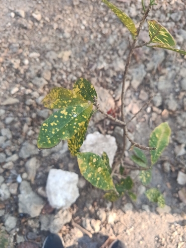
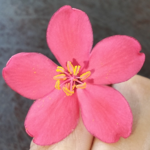

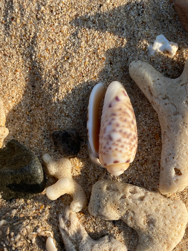
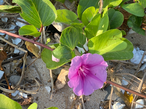
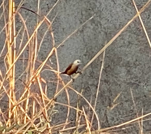
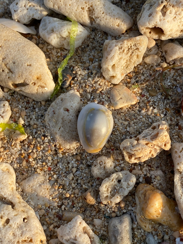
Research-grade observations from iNaturalist (within ~15 mi).
Events
Gallery
Sources
- • Wikipedia
- • Wikidata
- • iNaturalist
- • Open-Meteo / sunrise-sunset.org
- • Wikipedia Pageviews API
- • Open Library