Browse / United States / Idaho / Nampa
Nampa
Idahocity

Nampa
Total population
117,346
Median home value
$382,700
Bachelor's+
Median income
$82,044
Founded
1886
Demographic figures from US Census Bureau · ACS 5-year estimates. Overview below cites Wikipedia and may reference a different year.
City facts
Sister cities
Facts from Wikidata (CC0).
Overview
Nampa is the most populous city in Canyon County, Idaho, United States. The population was 100,200 at the 2020 census. It is Idaho's third-most populous city. Nampa is about 20 miles (32 km) west of Boise along Interstate 84, and 6 miles (9.7 km) west of Meridian. It is the second principal city of the Boise metropolitan area. The name "Nampa" may have come from a Shoshoni word meaning 'moccasin' or 'footprint'. According to toponymist William O. Bright, the name comes from the Shoshoni word /nampai/, meaning "foot". The city has a prominent student population, home to the College of Western Idaho and Northwest Nazarene University.
Read more on WikipediaHistory & geography
History
Nampa had its beginnings in the early 1880s when the Oregon Short Line Railroad built a line from Granger, Wyoming, to Huntington, Oregon, that passed through Nampa. In Nampa there is a history museum that marks the railroad's significance. More railroad lines sprang up through Nampa, making it an important railroad town. Alexander and Hannah Duffes established one of the town's first homesteads, eventually forming the Nampa Land and Improvement Company with the help of their friend and co-founder, James McGee. Despite the name, many early settlers called the town "New Jerusalem" because of its citizens' strong religious focus. After only a year the town grew from 15 homes to 50. As amenities were added, Nampa continued to grow, and it was incorporated in 1891. Downtown Nampa's street grid is oriented with the railroad tracks, which run northwest–southeast; As the Oregon Short Line railroad originally bypassed Boise, Nampa has the fanciest of many railroad depots built in the area. Nampa gained attention in 1889 due to a purported archaeological discovery known as the Nampa figurine. George Frederick Wright wrote up details that year for the Boston Society of Natural History. The first elementary school was built in the 1890s. Lakeview School was on a hill on 6th Street and 12th Avenue North, with a view of Lake Ethel. Just after the school's centennial celebration, it was condemned as a school and sold to the First Mennonite Church. In 2008 the building was refurbished, and it is now used by the Idaho Arts Charter School. Lake Ethel, an irrigation reservoir, had long been the site of community picnics, and many citizens fished, swam, boated, and even hunted on it and its surrounding property. But the hunting didn't last long, as O. F. Persons, owner of the…
Geography
According to the United States Census Bureau, the city has an area of , of which, is land and is water.
Excerpted from the corresponding Wikipedia article (CC BY-SA).
Demographics & economy
Race & ethnicity
Source: US Census Bureau — American Community Survey, 5-year estimates.
Geography
Coordinates & boundaries from the US Census TIGER/Line shapefiles.
Climate
Current forecast
Forecast for Nampa, ID from NOAA NWS API.
Air quality
Industrial & pollution facilities
Natural hazard risk
Health (adults)
Age-adjusted prevalence estimates from CDC PLACES (latest release).
Walkability
Amenities nearby
Wildlife & biodiversity
Most-observed species
- House FinchHaemorhous mexicanus (P.L.Statius Müller, 1776) · Aves15,033
- Mourning DoveZenaida macroura (Linnaeus, 1758) · Aves14,671
- MallardAnas platyrhynchos Linnaeus, 1758 · Aves14,550
- American RobinTurdus migratorius Linnaeus, 1766 · Aves13,173
- European StarlingSturnus vulgaris Linnaeus, 1758 · Aves13,057
- Canada Goose (canadensis Group)Branta canadensis (Linnaeus, 1758) · Aves12,436
- House SparrowPasser domesticus (Linnaeus, 1758) · Aves11,369
- Black-billed MagpiePica hudsonia (Sabine, 1823) · Aves11,155
Citizen-science & research observations from the Global Biodiversity Information Facility (GBIF).
Schools
Largest nearby schools
- RIDGEVUE HIGH SCHOOLHigh · NAMPA · 1,578 students · 21.9:1 ratio
- NAMPA SENIOR HIGH SCHOOLHigh · NAMPA · 1,482 students · 21.8:1 ratio
- CALDWELL SENIOR HIGH SCHOOLHigh · CALDWELL · 1,474 students · 21.7:1 ratio
- IDAHO ARTS CHARTER SCHOOLOther · NAMPA · 1,303 students · 17.4:1 ratio
- COLUMBIA HIGH SCHOOLHigh · NAMPA · 1,239 students · 20.6:1 ratio
- VALLIVUE HIGH SCHOOLHigh · CALDWELL · 1,235 students · 19:1 ratio
- SKYVIEW HIGH SCHOOLHigh · NAMPA · 1,152 students · 17.5:1 ratio
- MIDDLETON MIDDLE SCHOOLMiddle · MIDDLETON · 1,007 students · 22.4:1 ratio
Public K–12 schools within ~10 mi from Urban Institute Education Data Portal (NCES Common Core of Data, 2022).
Earthquake history
Most recent
- M 2.7 — 2024-12-276 km NNW of Smiths Ferry, Idaho
- M 2.7 — 2024-12-157 km NNW of Smiths Ferry, Idaho
- M 2.7 — 2024-11-296 km N of Smiths Ferry, Idaho
- M 3 — 2024-08-047 km NW of Smiths Ferry, Idaho
- M 2.7 — 2024-08-047 km NW of Smiths Ferry, Idaho
- M 2.5 — 2024-07-147 km NNW of Smiths Ferry, Idaho
Events from the USGS Earthquake Catalog (global) (FDSN Event Web Service).
Photos
Sights & places nearby
Notable people from here


People born within ~10 km, from Wikidata (CC0). Click any name for their Wikipedia article.
Nearby places in Idaho
- Caldwell6.3 mi away · pop. 73,092
- Meridian8.4 mi away · pop. 139,736
- Star8.8 mi away · pop. 14,745
- Kuna9.1 mi away · pop. 27,158
- Middleton9.1 mi away · pop. 10,649
- Marsing12.6 mi away · pop. 1,306
- Eagle13.3 mi away · pop. 32,855
- Greenleaf14.1 mi away · pop. 1,482
- Garden City14.7 mi away · pop. 12,654
- Melba14.7 mi away · pop. 617
- Notus15.3 mi away · pop. 573
- Boise City16.7 mi away · pop. 237,959
Geography & sun
Elevation, sunrise/sunset and daylight from Open-Meteo. Solar climatology from NASA POWER.
Nearby airports
Public attention
Pageview totals from the Wikimedia Pageviews API.
Books about Nampa


Search results from Open Library.
Recent natural events nearby
- Wildfire FLINT, Owyhee, IdahoWildfires · 2026-08-24 · 50 mi
- Wildfire CROOKED, Boise, IdahoWildfires · 2026-08-18 · 54 mi
- Wildfire MUSTANG, Malheur, OregonWildfires · 2026-08-25 · 77 mi
- Prescribed Fire Wolf A RX, Grant, OregonWildfires · 2026-09-24 · 113 mi
- Prescribed Fire Jane 102 RX, Harney, OregonWildfires · 2026-10-13 · 114 mi
- Prescribed Fire Bartlett Creek RX, Custer, IdahoWildfires · 2026-10-06 · 120 mi
- Wildfire McCulley, Baker, OregonWildfires · 2026-08-22 · 121 mi
- Wildfire Calico, Humboldt, NevadaWildfires · 2026-08-26 · 125 mi
Wildfires, storms and other events from NASA EONET (last 12 months, within 250 mi).
Ground air-quality sensors
Recently spotted species
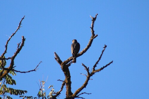
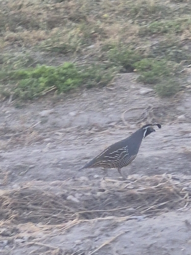
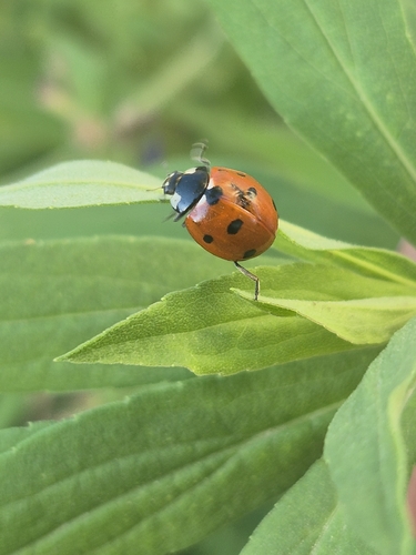
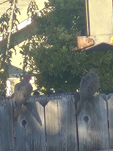
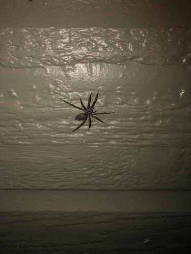
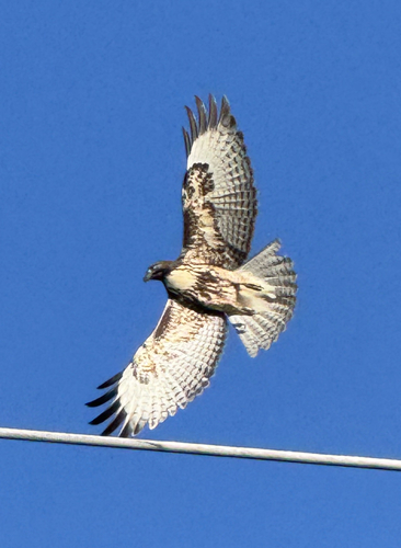
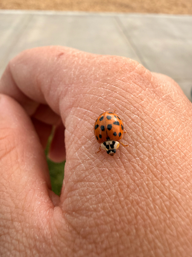
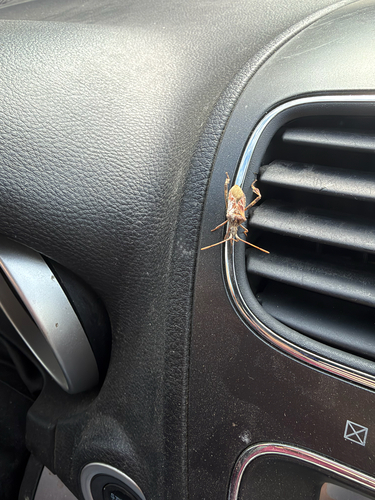
Research-grade observations from iNaturalist (within ~15 mi).
Nearest stream gauge
Live readings from USGS NWIS · measured 2026-10-16 15:15 UTC.
Events
Gallery
Sources
- • Wikipedia
- • US Census Bureau (ACS 5-year estimates)
- • NOAA National Weather Service
- • Wikidata
- • USGS Earthquake Catalog (global feed)
- • USGS NWIS (water data)
- • NCES via Urban Institute Education Data Portal
- • GBIF (Global Biodiversity Information Facility)
- • iNaturalist
- • CDC PLACES
- • Open-Meteo / sunrise-sunset.org
- • Wikipedia Pageviews API
- • Open Library
- • NASA EONET