Browse / United States / Idaho / Rexburg
Rexburg
Idahocity

Rexburg
Total population
40,543
Median home value
$395,100
Bachelor's+
Median income
$50,617
Founded
1883
Demographic figures from US Census Bureau · ACS 5-year estimates. Overview below cites Wikipedia and may reference a different year.
- Freeze Warning · SevereFreeze Warning issued October 13 at 10:17AM MDT until October 14 at 9:00AM MDT by NWS Pocatello ID
Source: NOAA National Weather Service.
City facts
Sister cities
Facts from Wikidata (CC0).
Overview
Rexburg is a city in Madison County, Idaho, United States. The population was 39,409 at the 2020 census. The city is the county seat of Madison County, its largest city, and the last "dry town" in the USA. Rexburg is the principal city of the Rexburg micropolitan area, which includes Fremont and Madison counties. The city is home to Brigham Young University–Idaho (BYU-Idaho), a private university owned by the Church of Jesus Christ of Latter-day Saints.
Read more on WikipediaHistory & geography
History
The city takes its name from founder Thomas Edwin Ricks. The city was incorporated in 1883. The Navy Electronics Laboratory oceanographic research ship USS Rexburg was named for the city. In June 1976, Rexburg was severely damaged by the Teton Dam Flood. The Teton River flowed through northern Rexburg, and left most of the city underwater for several days after the Teton Dam ruptured. A museum dedicated to the Teton Dam Flood and the history of Rexburg and the area, located in the basement of the Rexburg Tabernacle, has been a major city landmark for decades. The city gained attention after the murders of siblings Tylee Ryan and J.J. Vallow, who went missing in September 2019 and were found dead in June 2020.
Geography
According to the United States Census Bureau, the city has a total area of , of which is land and is water. Much of the city, including BYU-Idaho and the Rexburg Idaho Temple, rests on top of a shield volcano just north of Rigby. Eruptions are not expected in the near future so far south; Yellowstone National Park and Island Park are thought to be the most likely settings for future volcanic activity in the area. Many different types of volcanoes exist near Rexburg, including cinder cones, spatter cones, other shield volcanoes, and volcanic fissures. There are lava fields to the west and south of Rexburg, the results of open fissure eruptions from about two thousand years ago. The nearby Craters of the Moon National Monument presents the most obvious features of this recent activity. Sediment deposits enriched by volcanism make the surrounding area famous for its production of large starch-rich potatoes. Rexburg is close to the St. Anthony Sand Dunes, the West Entrance of Yellowstone National Park and the Teton Range.
Excerpted from the corresponding Wikipedia article (CC BY-SA).
Demographics & economy
Race & ethnicity
Source: US Census Bureau — American Community Survey, 5-year estimates.
Geography
Coordinates & boundaries from the US Census TIGER/Line shapefiles.
Climate
Current forecast
Forecast for Rexburg, ID from NOAA NWS API.
Air quality
Industrial & pollution facilities
Natural hazard risk
Health (adults)
Age-adjusted prevalence estimates from CDC PLACES (latest release).
Walkability
Amenities nearby
Wildlife & biodiversity
Schools
Largest nearby schools
- MADISON SENIOR HIGH SCHOOLHigh · REXBURG · 1,278 students · 19.7:1 ratio
- MADISON JUNIOR HIGH SCHOOLMiddle · REXBURG · 1,247 students · 22.7:1 ratio
- MADISON MIDDLE SCHOOLMiddle · REXBURG · 818 students · 21.5:1 ratio
- BURTON ELEMENTARY SCHOOLElementary · REXBURG · 646 students · 23.1:1 ratio
- SUGAR-SALEM HIGH SCHOOLHigh · SUGAR CITY · 565 students · 20.2:1 ratio
- LINCOLN ELEMENTARY SCHOOLElementary · REXBURG · 394 students · 21.9:1 ratio
- SUGAR-SALEM JUNIOR HIGH SCHOOLMiddle · SUGAR CITY · 387 students · 17.6:1 ratio
- KENNEDY ELEMENTARY SCHOOLElementary · REXBURG · 351 students · 19.5:1 ratio
Public K–12 schools within ~10 mi from Urban Institute Education Data Portal (NCES Common Core of Data, 2022).
Earthquake history
Photos
Sights & places nearby
Notable people from here


People born within ~10 km, from Wikidata (CC0). Click any name for their Wikipedia article.
Nearby places in Idaho
- Sugar City4.2 mi away · pop. 2,122
- Teton7.4 mi away · pop. 877
- Parker9.5 mi away · pop. 607
- Newdale10.3 mi away · pop. 525
- St. Anthony11.2 mi away · pop. 3,911
- Rigby12 mi away · pop. 5,404
- Menan12.2 mi away · pop. 876
- Ririe13.2 mi away · pop. 1,079
- Lewisville14.2 mi away · pop. 453
- Ucon18 mi away · pop. 1,606
- Roberts18.3 mi away · pop. 609
- Iona21.6 mi away · pop. 2,984
Geography & sun
Elevation, sunrise/sunset and daylight from Open-Meteo. Solar climatology from NASA POWER.
Nearby airports
Public attention
Pageview totals from the Wikimedia Pageviews API.
Books about Rexburg




Search results from Open Library.
Recent natural events nearby
- Wildfire Roe 2, Beaverhead, MontanaWildfires · 2026-08-27 · 90 mi
- Wildfire Bare, Sublette, WyomingWildfires · 2026-08-04 · 99 mi
- Wildfire North Heglar, Cassia, IdahoWildfires · 2026-08-19 · 113 mi
- Wildfire Shale Butte, Lincoln, IdahoWildfires · 2026-08-22 · 119 mi
- Prescribed Fire Bartlett Creek RX, Custer, IdahoWildfires · 2026-10-06 · 120 mi
- Wildfire Johnson Canyon, Box Elder, UtahWildfires · 2026-08-01 · 137 mi
- Wildfire Salt Wells, Box Elder, UtahWildfires · 2026-08-21 · 146 mi
- Wildfire Buckhorn 2, Cassia, IdahoWildfires · 2026-10-10 · 155 mi
Wildfires, storms and other events from NASA EONET (last 12 months, within 250 mi).
Ground air-quality sensors
Recently spotted species
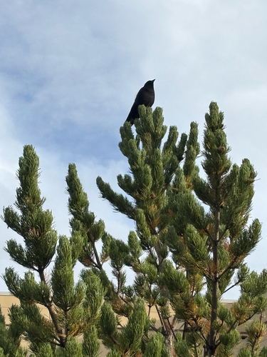
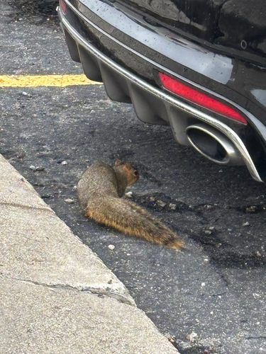


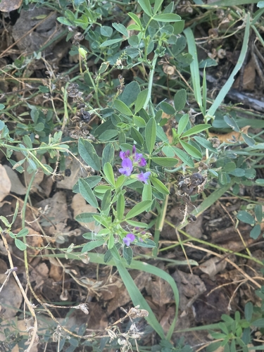

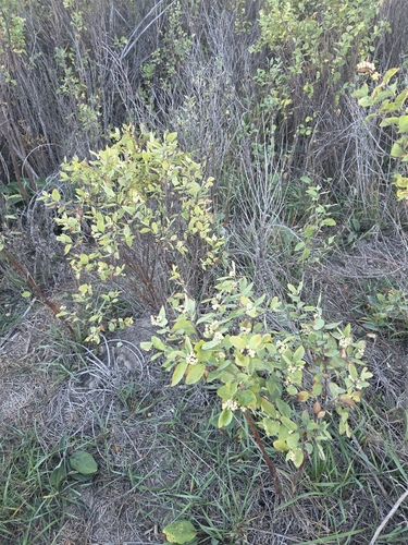
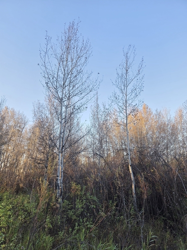
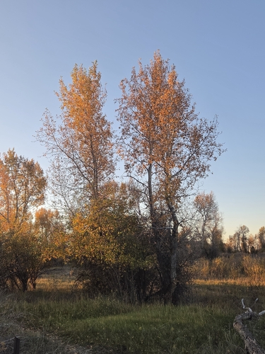
Research-grade observations from iNaturalist (within ~15 mi).
Nearest stream gauge
Live readings from USGS NWIS · measured 2026-10-13 11:45 UTC.
Events
Gallery
Sources
- • Wikipedia
- • US Census Bureau (ACS 5-year estimates)
- • NOAA National Weather Service
- • Wikidata
- • USGS NWIS (water data)
- • NCES via Urban Institute Education Data Portal
- • iNaturalist
- • CDC PLACES
- • Open-Meteo / sunrise-sunset.org
- • Wikipedia Pageviews API
- • Open Library
- • NASA EONET