Browse / United States / Idaho / Twin Falls
Twin Falls
Idahocity

Twin Falls
Total population
54,164
Median home value
$321,300
Bachelor's+
Median income
$61,205
Founded
1904
Demographic figures from US Census Bureau · ACS 5-year estimates. Overview below cites Wikipedia and may reference a different year.
City facts
Facts from Wikidata (CC0).
Overview
Twin Falls is the county seat of and the largest city in Twin Falls County, Idaho, United States. The population was 51,807 at the 2020 census, and was estimated at 55,589 in 2024. In the Magic Valley region, Twin Falls is the largest city in a 100-mile (160 km) radius, and is the regional commercial center for south-central Idaho and northeastern Nevada. It is the principal city of the Twin Falls metropolitan statistical area, which officially includes the entirety of Twin Falls and Jerome Counties. The border town resort community of Jackpot, Nevada, 50 mi (80 km) south at the state line, is unofficially considered part of the greater Twin Falls area.
Read more on WikipediaHistory & geography
History
Excavations at Wilson Butte Cave near Twin Falls in 1959 revealed evidence of human activity, including arrowheads, that rank among the oldest dated artifacts in North America. Later Native American tribes predominant in the area included the Northern Shoshone and Bannock. The first people of European ancestry to visit the Twin Falls area are believed to be members of a group led by American Wilson Price Hunt, who attempted to blaze an all-water trail westward from St. Louis, Missouri, to Astoria, Oregon, in 1811 and 1812. Hunt's expedition met with disaster; much of his expedition was destroyed and one man was killed in rapids on the Snake River known as Caldron Linn near present-day Murtaugh. Hunt and the surviving members of his expedition completed the journey to Astoria by land. In 1812 and 1813, Robert Stuart successfully led an overland expedition eastward from Astoria to St. Louis, which passed through the Twin Falls area. Stuart's route formed the basis of what became the Oregon Trail. Some 150 years later, Robert Stuart Middle School in Twin Falls was named in his honor. The first permanent settlement in the area was a stage stop established in 1864 at Rock Creek near the present-day townsite. By 1890, a handful of successful agricultural operations were in the Snake River Canyon, but the lack of infrastructure and the canyon's geography made irrigating the dry surrounding area improbable at best. To address this issue in 1900, I. B. Perrine founded the Twin Falls Land and Water Company, largely to build an irrigation canal system for the area. After an August 1900 area survey of in October 1900, the company was granted the necessary water rights to begin construction of the irrigation system. Several lots in the surveyed area were set aside specifically…
Geography
According to the United States Census Bureau, the city has a total area of , of which is land and (0.59%) is water. The Snake River Canyon forms the city's northern limits, separating it from Jerome County. Three waterfalls are in the immediate area. Shoshone Falls is located about east of Twin Falls city. Pillar Falls is located roughly upstream from the Perrine Bridge, while Twin Falls, the city's namesake, is located upstream of Shoshone Falls. Shoshone Falls stands at , which is higher than Niagara Falls. The Perrine Bridge, which spans the Snake River Canyon immediately north of the city, is one of only a handful of artificial structures worldwide where BASE jumping is legal. In September 2005, Miles Daisher of Twin Falls set a BASE-jumping world record by jumping off Perrine Bridge 57 times in a 24-hour period. In July 2006, Dan Schilling jumped off the bridge 201 times in 21 hours to raise money for charity. Unlike Daisher, Schilling was hoisted to the top of the bridge by a crane after every jump.
Excerpted from the corresponding Wikipedia article (CC BY-SA).
Demographics & economy
Race & ethnicity
Source: US Census Bureau — American Community Survey, 5-year estimates.
Geography
Coordinates & boundaries from the US Census TIGER/Line shapefiles.
Climate
Current forecast
Forecast for Twin Falls, ID from NOAA NWS API.
Air quality
Industrial & pollution facilities
Natural hazard risk
Health (adults)
Age-adjusted prevalence estimates from CDC PLACES (latest release).
Walkability
Amenities nearby
Wildlife & biodiversity
Most-observed species
- Eurasian Collared-DoveStreptopelia decaocto (Frivaldszky, 1838) · Aves3,685
- American RobinTurdus migratorius Linnaeus, 1766 · Aves3,615
- Black-billed MagpiePica hudsonia (Sabine, 1823) · Aves3,570
- House FinchHaemorhous mexicanus (P.L.Statius Müller, 1776) · Aves3,443
- European StarlingSturnus vulgaris Linnaeus, 1758 · Aves2,943
- House SparrowPasser domesticus (Linnaeus, 1758) · Aves2,880
- Mourning DoveZenaida macroura (Linnaeus, 1758) · Aves2,546
- Red-tailed HawkButeo jamaicensis (Gmelin, 1788) · Aves2,461
Citizen-science & research observations from the Global Biodiversity Information Facility (GBIF).
Schools
Largest nearby schools
- CANYON RIDGE HIGH SCHOOLHigh · TWIN FALLS · 1,409 students · 19.8:1 ratio
- TWIN FALLS HIGH SCHOOLHigh · TWIN FALLS · 1,286 students · 20.7:1 ratio
- VERA C O'LEARY MIDDLE SCHOOLMiddle · TWIN FALLS · 783 students · 21.8:1 ratio
- ROBERT STUART MIDDLE SCHOOLMiddle · TWIN FALLS · 765 students · 20.1:1 ratio
- XAVIER CHARTER SCHOOLOther · TWIN FALLS · 672 students · 20.4:1 ratio
- ROCK CREEK ELEMENTARYElementary · TWIN FALLS · 668 students · 18.1:1 ratio
- SOUTH HILLS MIDDLE SCHOOLMiddle · TWIN FALLS · 625 students · 17.4:1 ratio
- KIMBERLY HIGH SCHOOLHigh · KIMBERLY · 616 students · 19.9:1 ratio
Public K–12 schools within ~10 mi from Urban Institute Education Data Portal (NCES Common Core of Data, 2022).
Earthquake history
Most recent
- M 2.68 — 2026-04-2732 km SW of Jackpot, Nevada
- M 2.8 — 2002-02-0631 km N of Glenns Ferry, Idaho
Events from the USGS Earthquake Catalog (global) (FDSN Event Web Service).
Photos
Sights & places nearby
Notable people from here


People born within ~10 km, from Wikidata (CC0). Click any name for their Wikipedia article.
Nearby places in Idaho
- Kimberly5 mi away · pop. 5,111
- Filer7.4 mi away · pop. 2,925
- Hansen8.4 mi away · pop. 1,225
- Jerome11 mi away · pop. 12,930
- Eden13.1 mi away · pop. 421
- Buhl15.4 mi away · pop. 4,673
- Hollister15.9 mi away · pop. 347
- Murtaugh16 mi away · pop. 129
- Hazelton16.6 mi away · pop. 977
- Wendell19 mi away · pop. 2,981
- Castleford21.2 mi away · pop. 183
- Shoshone25.8 mi away · pop. 1,911
Geography & sun
Elevation, sunrise/sunset and daylight from Open-Meteo. Solar climatology from NASA POWER.
Nearby airports
Public attention
Pageview totals from the Wikimedia Pageviews API.
Books about Twin Falls

Search results from Open Library.
Recent natural events nearby
- Median Wildfire, Gooding, IdahoWildfires · 2026-06-17 · 23 mi
- Kinyon Springs Wildfire, Owyhee, IdahoWildfires · 2026-05-25 · 42 mi
- Black Ridge Wildfire, Lincoln, IdahoWildfires · 2026-05-25 · 43 mi
- Summit Creek Wildfire, Cassia, IdahoWildfires · 2026-05-25 · 46 mi
- Cedar Cabin - RX Prescribed Fire, Butte, IdahoWildfires · 2026-04-21 · 106 mi
- Egberts Wildfire, Elko, NevadaWildfires · 2026-05-25 · 115 mi
- Ogden Bay RX Prescribed Fire, Weber, UtahWildfires · 2026-04-29 · 151 mi
- South Mountain Wildfire, Tooele, UtahWildfires · 2026-06-09 · 180 mi
Wildfires, storms and other events from NASA EONET (last 12 months, within 250 mi).
Ground air-quality sensors
Recently spotted species

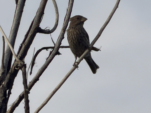
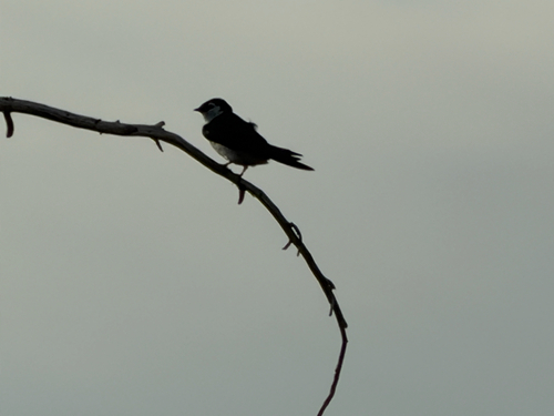
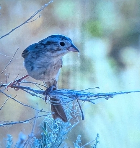
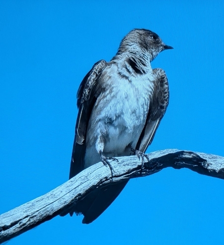
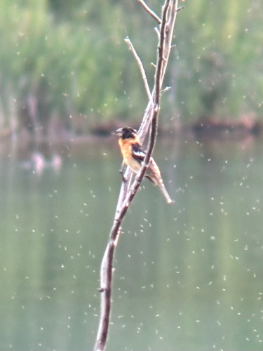
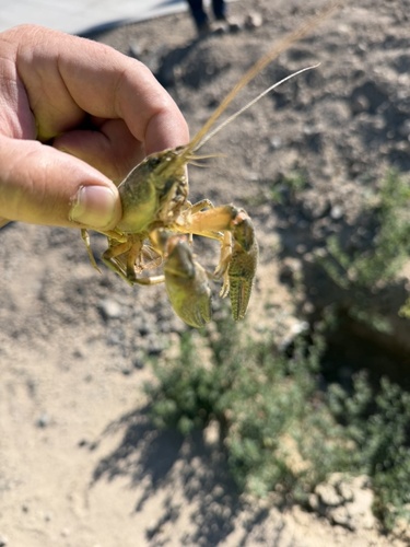
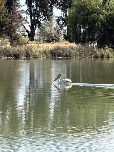
Research-grade observations from iNaturalist (within ~15 mi).
Nearest stream gauge
Live readings from USGS NWIS · measured 2026-06-27 15:45 UTC.
Events
Gallery
Geotagged photos within ~6 miles of Twin Falls, from Wikimedia Commons contributors.
 0 mi
0 mi 0 mi
0 mi 0.1 mi
 0.2 mi
 0.2 mi
 0.4 mi
 0.4 mi
 0.4 mi
 0.4 mi
_9.jpg) 0.4 mi
0.4 mi_11.jpg) 0.4 mi
0.4 mi_41.jpg) 0.4 mi
0.4 mi_57.jpg) 0.4 mi
0.4 mi_59.jpg) 0.4 mi
0.4 mi_71.jpg) 0.4 mi
0.4 mi_73.jpg) 0.4 mi
0.4 mi_93.jpg) 0.4 mi
0.4 mi_100.jpg) 0.4 mi
0.4 mi_104.jpg) 0.4 mi
0.4 mi_134.jpg) 0.4 mi
0.4 mi_138.jpg) 0.4 mi
0.4 mi_145.jpg) 0.4 mi
0.4 mi_207.jpg) 0.4 mi
0.4 mi_222.jpg) 0.4 mi
0.4 miPhotos via Wikimedia Commons — see each image page for license & attribution.
Sources
- • Wikipedia
- • US Census Bureau (ACS 5-year estimates)
- • NOAA National Weather Service
- • Wikimedia Commons
- • Wikidata
- • USGS Earthquake Catalog (global feed)
- • USGS NWIS (water data)
- • NCES via Urban Institute Education Data Portal
- • GBIF (Global Biodiversity Information Facility)
- • iNaturalist
- • CDC PLACES
- • Open-Meteo / sunrise-sunset.org
- • Wikipedia Pageviews API
- • Open Library
- • NASA EONET