Browse / Ireland / Kildare / Ardclough
Ardclough
Kildarevillage
Demographic figures from Central Statistics Office (Ireland). Overview below cites Wikipedia and may reference a different year.
City facts
Facts from Wikidata (CC0).
Overview
Ardclough, officially Ardclogh, is a village and community in the parish of Kill, County Kildare, Ireland. It is two miles (3 km) off the N7 national primary road. It is the burial place and probable birthplace of Arthur Guinness, who is said to have returned to the maternal homestead of the Reads at Huttonread to give birth in the tradition of the time.
Read more on WikipediaHistory & geography
History
The earliest evidence of human habitation at Ardclough was the discovery of a flint dated to 4800–3600BC, at Castlewarden below Oughter Ard Hill, rare for a dry-land location from the time. Lyons Hill was the inauguration site and base for 10 Uí Dúnchada kings of Leinster. The Battle of Glen Mama, where Brian Boru defeated Máel Mórda king of Leinster and Sitric Silkbeard King of Dublin in 999, is believed to have taken place on the Dublin side of Oughterard Hill. The area was accorded its own place-legend in the Dindsenchas, Liamuin. Lyons subsequently became home to the Aylmer, Tyrrell and Lawless families. There are five medieval churches and three castles in the area. Most important is Oughter Ard, a seventh-century monastery associated with saints Briga (feast day 21 January) and Derchairthinn (feast day 8 March) and site of a round tower. Recent research has estimated that the ruined church there dates to 1350, not 1609 as previously believed. It was the site of a Royal Manor. Whitechurch, (Ecclesia Alba, named for the Carmelite order) was granted in 1320, and enfifed in 1508. A single headstone is the only reminder of the church of Castledillon, (1000), once a parish of its own. The graveyard beside another disappeared church at Clonaghlis, (pre 1206) is still in use and is associated with female saints Fedhlim and Mughain. Castlewarden (c1200) church has disappeared. Reeves Castle, on the Celbridge road, was built in the 14th century. A mass house built below Oughter Ard hill in 1714 became the site of the first modern Catholic church in 1810 and a school in 1839. Lyons parish was united with Oughterard in 1541 and with Kill in 1693. The centre of the parish moved to Kill in 1823. The former Lyons parish church (built 1810, refurbished 1896) was…
Excerpted from the corresponding Wikipedia article (CC BY-SA).
Geography
Coordinates & boundaries from the US Census TIGER/Line shapefiles.
Climate
Air quality
Walkability
Amenities nearby
Wildlife & biodiversity
Earthquake history
Photos
Sights & places nearby
Notable people from here


People born within ~10 km, from Wikidata (CC0). Click any name for their Wikipedia article.
Geography & sun
Elevation, sunrise/sunset and daylight from Open-Meteo. Solar climatology from NASA POWER.
Nearby airports
Public attention
Pageview totals from the Wikimedia Pageviews API.
Books about this place
Recent natural events nearby
Ground air-quality sensors
Recently spotted species
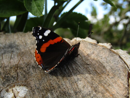
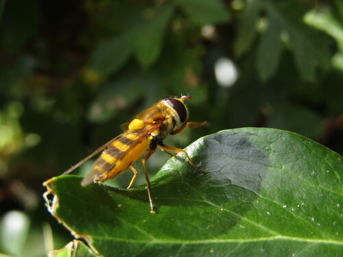
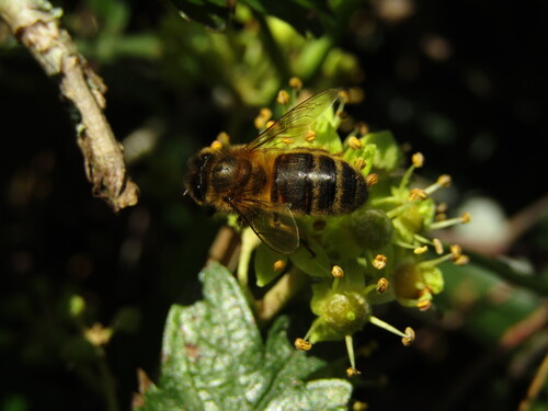
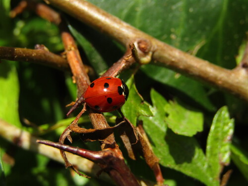
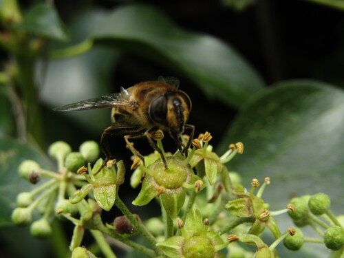
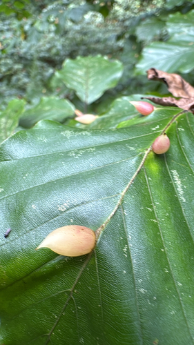
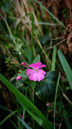
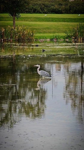
Research-grade observations from iNaturalist (within ~15 mi).
Events
Gallery
Sources
- • Wikipedia
- • Wikidata
- • iNaturalist
- • Open-Meteo / sunrise-sunset.org
- • Wikipedia Pageviews API