Browse / Ireland / Meath / Athboy
Athboy
Meathtown

Athboy
Demographic figures from Central Statistics Office (Ireland). Overview below cites Wikipedia and may reference a different year.
City facts
Facts from Wikidata (CC0).
Overview
Athboy is a small agricultural town located in County Meath. The town is located on the Yellow Ford River, in wooded country near the County Westmeath border. It is around 15 km west of Navan and 50 km north-west of Dublin. The town is in a civil parish of the same name.
Read more on WikipediaHistory & geography
History
In medieval times it was a walled stronghold of the Pale. Eoin Roe O'Neill took it in 1643, and six years later Oliver Cromwell camped his army on the Hill of Ward nearby. Also known as Tlachtga, the Hill of Ward was the location for the pagan feast of Samhain, the precursor of modern-day Halloween. The tower of St James, Church of Ireland, is a remnant of a 14th-century Carmelite priory. Behind the church are the remains of the town walls. The church boasts an interesting medieval tabletop. Athboy was a constituency in the Irish House of Commons from 1613 until the Act of Union in 1800. In 1694, the town's 'lands and commons' and several other denominations of land were erected into a manor and granted to Thomas Bligh, MP for Athboy, who had earlier purchased almost 12 km2 (3000 acres) in the area of Athboy. His son, John, was created Earl of Darnley in 1725 and the Blighs (Earls of Darnley) were landlords of all but six of the 27 townlands in the parish of Athboy throughout the 18th and 19th centuries. Ivo Bligh, 8th Earl of Darnley placed the fee-simple of the town of Athboy up for public auction in June 1909. The townspeople formed their own branch of The Town Tenants League and with the aid of Joseph Coghlan-Briscoe, national secretary of the league, they were able to purchase their homes and businesses via private treaty. The demesne of the Darnley Estate at Clifton Lodge just outside the town was sold in 1909 to Welsh explorer Mordecai Jones. Not long after Jones' death in 1913 his Japanese manservant Sanotic Koniste was found murdered in a field not far from Clifton Lodge. Both Jones and Koniste are buried in the graveyard of St. James' Church.
Excerpted from the corresponding Wikipedia article (CC BY-SA).
Geography
Coordinates & boundaries from the US Census TIGER/Line shapefiles.
Climate
Air quality
Walkability
Amenities nearby
Wildlife & biodiversity
Earthquake history
Events from the USGS Earthquake Catalog (global) (FDSN Event Web Service).
Photos
Sights & places nearby
Notable people from here


People born within ~10 km, from Wikidata (CC0). Click any name for their Wikipedia article.
Geography & sun
Elevation, sunrise/sunset and daylight from Open-Meteo. Solar climatology from NASA POWER.
Nearby airports
Public attention
Pageview totals from the Wikimedia Pageviews API.
Books about Athboy
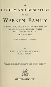
Search results from Open Library.
Recent natural events nearby
Ground air-quality sensors
Recently spotted species
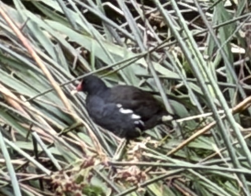
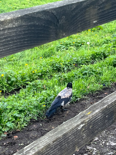
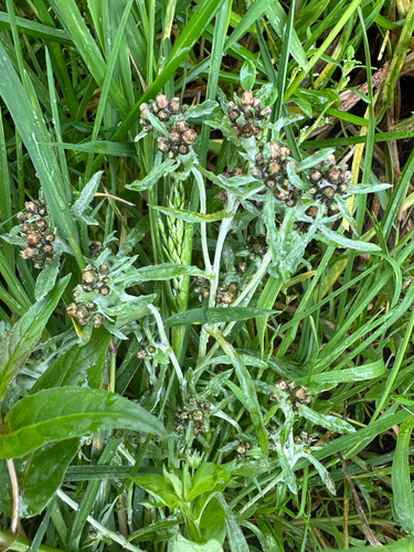
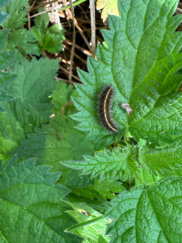
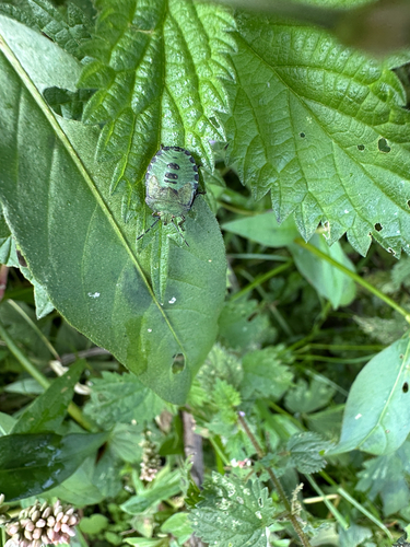
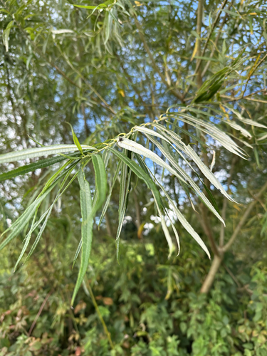
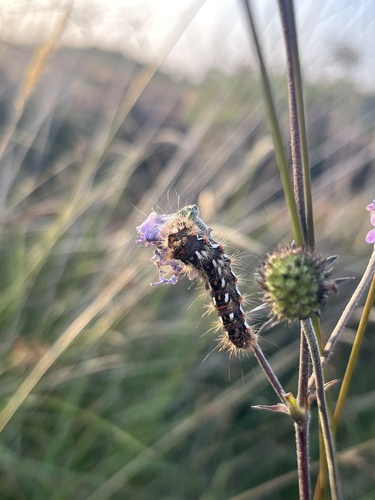
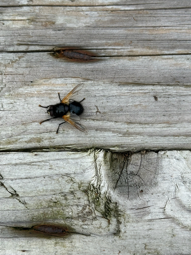
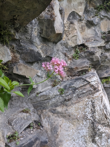
Research-grade observations from iNaturalist (within ~15 mi).
Events
Gallery
Sources
- • Wikipedia
- • Wikidata
- • USGS Earthquake Catalog (global feed)
- • iNaturalist
- • Open-Meteo / sunrise-sunset.org
- • Wikipedia Pageviews API
- • Open Library