Browse / Ireland / Wexford / Ballaghkeen
Ballaghkeen
Wexfordvillage

Ballaghkeen
Demographic figures from Central Statistics Office (Ireland). Overview below cites Wikipedia and may reference a different year.
City facts
Overview
The Ballagh or Ballaghkeen is a village in the southeastern corner of Ireland. It is situated in County Wexford just off the R741 regional road halfway between the towns of Gorey to the north and Wexford to the south. As of the 2022 census, the village had a population of 560 people.
Read more on WikipediaHistory & geography
History
Evidence of ancient settlement in the area includes a number of ring ditch, ringfort and moated sites in the townlands of Ballymacoonoge, Ballymurry, Glentire and Slievenagrane. About 1 km east of the village is part of the medieval road which linked Wexford to Dublin. This road went into decline when the R741, known locally as 'the new line', was built a few decades after the 1798 Rebellion. Having been ambushed at pinch points and at the bottom of hills on the existing road, the R741 was built wider and straighter so that troops could be moved quickly to this area in the event of another insurrection. The local Catholic church, in Ballymurry townland, was constructed in 1951. The nearby cemetery contains gravestones dating from the 1820s to the mid-20th century.
Excerpted from the corresponding Wikipedia article (CC BY-SA).
Geography
Coordinates & boundaries from the US Census TIGER/Line shapefiles.
Climate
Air quality
Walkability
Amenities nearby
Wildlife & biodiversity
Earthquake history
Photos
Sights & places nearby
Notable people from here


People born within ~10 km, from Wikidata (CC0). Click any name for their Wikipedia article.
Nearby places in Wexford
Geography & sun
Elevation, sunrise/sunset and daylight from Open-Meteo. Solar climatology from NASA POWER.
Nearby airports
Public attention
Pageview totals from the Wikimedia Pageviews API.
Books about this place
Recent natural events nearby
Ground air-quality sensors
Recently spotted species
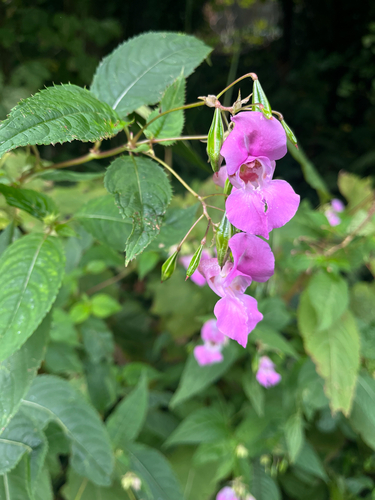
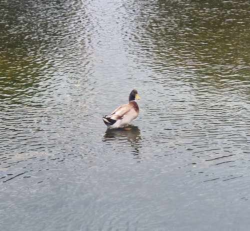
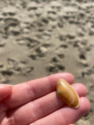
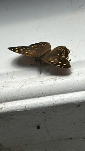
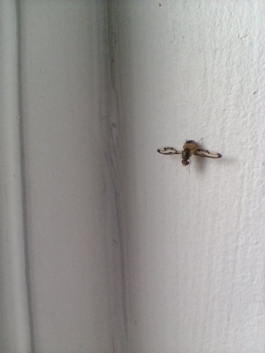
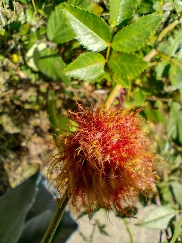
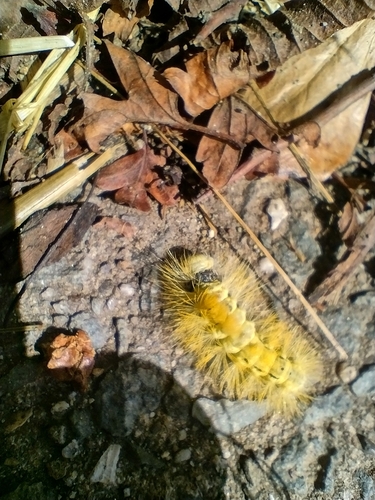
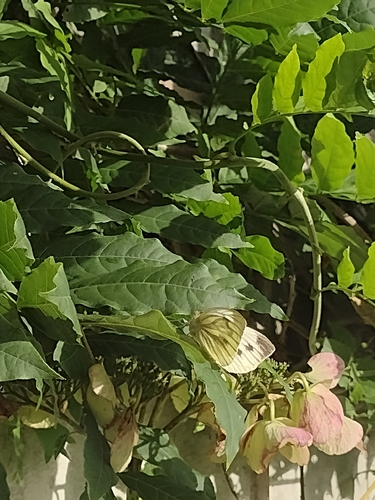
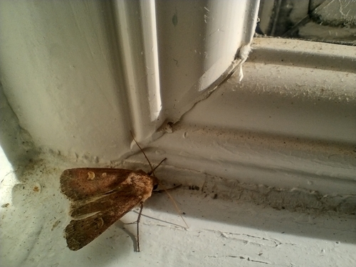
Research-grade observations from iNaturalist (within ~15 mi).
Events
Gallery
Sources
- • Wikipedia
- • Wikidata
- • iNaturalist
- • Open-Meteo / sunrise-sunset.org
- • Wikipedia Pageviews API