Browse / Ireland / Galway / Ballinasloe
Ballinasloe
Galwaytown

Ballinasloe
Total population
6,597
Demographic figures from Central Statistics Office (Ireland). Overview below cites Wikipedia and may reference a different year.
City facts
Facts from Wikidata (CC0).
Overview
Ballinasloe is a town in the easternmost part of County Galway, Ireland, situated on the River Suck, which forms the boundary with County Roscommon. Located at an ancient crossing point on the river, evidence of ancient settlement in the area includes a number of Bronze Age sites. Built around a 12th-century castle, which defended the fording point, the modern town of Ballinasloe was "founded" in the early 13th century. As of the 2022 census, it was one of the largest towns in County Galway, with a population of 6,597 people.
Read more on WikipediaHistory & geography
History
The town developed as a crossing point on the River Suck, a tributary of the Shannon, which forms the boundary between counties Galway and Roscommon. The part of Ballinasloe east of the river lies in the civil parish of Creagh, County Roscommon, while the larger part west of the river is in Kilclooney, County Galway. The Irish placename – meaning the 'mouth of the ford of the crowds' – reflects this purpose. The patron saint of Ballinasloe is Saint Grellan, who tradition believes built the first church in the area. A local housing estate, a GAA club, the branch of Conradh na Gaeilge, and formerly a school are named after him. While there is evidence of more ancient settlement in the area (including crannog and ringfort sites in Garbally Demesne), Richard Mór de Burgh (c.1194–c.1242) is credited with founding the town in the early 13th century. A castle was built in Ballinasloe on the east bank of the Suck in the 12th or early 13th centuries. Ballinasloe is historically known for its limestone which was used in many public buildings in the town. The local Garda (police) station, built c.1840 as a terraced three-storey house, is built of cut limestone which indicates the relative prosperity of the town in the 19th century. A courthouse in the town, built c.1840, features roofs and walls built of limestone. Much of Ballinasloe's town centre was laid out in the 18th and early 19th centuries. During the Great Famine, a workhouse was opened in the town in 1842 at a cost of £9,500. The building's chimney stacks, sills and walls were partially built of limestone. It was designed to house a maximum capacity of 1,000 people, but the 1851 census showed that the building housed 2,487 inmates. During the mid-1840s, a 64-bed fever hospital was built at the northeast of the…
Excerpted from the corresponding Wikipedia article (CC BY-SA).
Geography
Coordinates & boundaries from the US Census TIGER/Line shapefiles.
Climate
Air quality
Walkability
Amenities nearby
Wildlife & biodiversity
Earthquake history
Photos
Sights & places nearby
Notable people from here
Geography & sun
Elevation, sunrise/sunset and daylight from Open-Meteo. Solar climatology from NASA POWER.
Nearby airports
Public attention
Pageview totals from the Wikimedia Pageviews API.
Books about Ballinasloe

Search results from Open Library.
Recent natural events nearby
Ground air-quality sensors
Recently spotted species
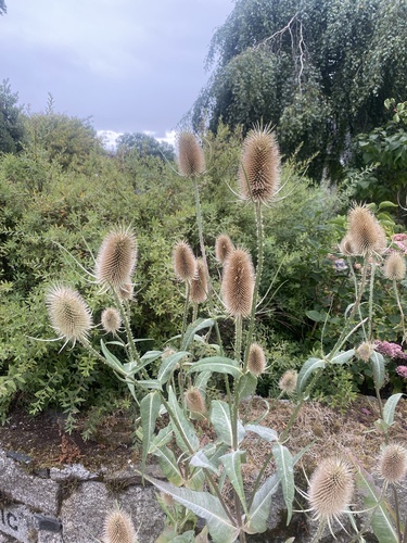
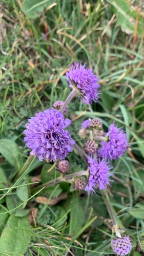
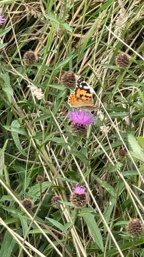
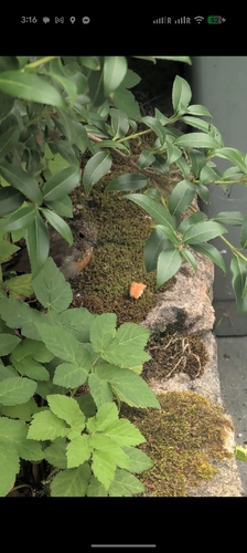
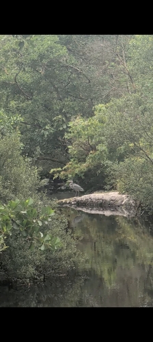
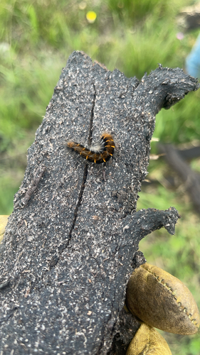
Research-grade observations from iNaturalist (within ~15 mi).
Events
Gallery
Official Identifiers
Logainm — Placenames Database of Ireland
- Logainm ID
- 130910
- Wikidata
- Q618056
Logainm ID via Wikidata P5097
Sources
- • Wikipedia
- • Wikidata
- • iNaturalist
- • Open-Meteo / sunrise-sunset.org
- • Wikipedia Pageviews API
- • Open Library
- • Logainm — Placenames Database of Ireland — Logainm ID via Wikidata P5097