Browse / Ireland / Limerick / Ballingarry
Ballingarry
Limerickvillage

Ballingarry
Demographic figures from Central Statistics Office (Ireland). Overview below cites Wikipedia and may reference a different year.
City facts
Overview
Ballingarry is a village in County Limerick, Ireland. It is located near the village of Granagh and between the towns of Rathkeale and Kilmallock on the R518 road. Ballingarry lies in a civil parish of the same name, and within the ecclesiastical parish of Ballingarry-Granagh in the Roman Catholic Diocese of Limerick. The village had a population of 570 as of the 2022 census, up from 521 at the 2016 census.
Read more on WikipediaHistory & geography
History
Evidence of ancient settlement around Ballingarry includes several ringfort and holy well sites. A number of early medieval religious houses, including a preceptory associated with the Knights Templar or Knights Hospitaller, were founded nearby from the 12th century. On Knight Street, within the village, is the 15th century Ballingarry Castle. This Norman tower house is traditionally associated with the De Lacy family. The village's Church of Ireland church was built, in 1820, at the site of an earlier church and graveyard enclosure. The current Roman Catholic church is dedicated to Our Lady of the Immaculate Conception and opened in 1879. These churches are among seven buildings, in Ballingarry, included in the Record of Protected Structures for County Limerick. Ballingarry had a significant weaving and linen industry until the Great Famine of the mid-19th century.
Excerpted from the corresponding Wikipedia article (CC BY-SA).
Geography
Coordinates & boundaries from the US Census TIGER/Line shapefiles.
Climate
Air quality
Walkability
Amenities nearby
Wildlife & biodiversity
Most-observed species
- Common Carder BeeBombus pascuorum (Scopoli, 1763) · Insecta231
- European RobinErithacus rubecula (Linnaeus, 1758) · Aves179
- RookCorvus frugilegus Linnaeus, 1758 · Aves178
- White-tailed Bumble BeeBombus lucorum (Linnaeus, 1761) · Insecta169
- Common Wood-PigeonColumba palumbus Linnaeus, 1758 · Aves152
- Western JackdawColoeus monedula (Linnaeus, 1758) · Aves152
- Eurasian BlackbirdTurdus merula Linnaeus, 1758 · Aves123
- Eurasian WrenTroglodytes troglodytes (Linnaeus, 1758) · Aves111
Citizen-science & research observations from the Global Biodiversity Information Facility (GBIF).
Earthquake history
Events from the USGS Earthquake Catalog (global) (FDSN Event Web Service).
Photos
Sights & places nearby
Notable people from here
Nearby places in Limerick
Geography & sun
Elevation, sunrise/sunset and daylight from Open-Meteo. Solar climatology from NASA POWER.
Nearby airports
Public attention
Pageview totals from the Wikimedia Pageviews API.
Books about Ballingarry
Search results from Open Library.
Recent natural events nearby
Ground air-quality sensors
Recently spotted species
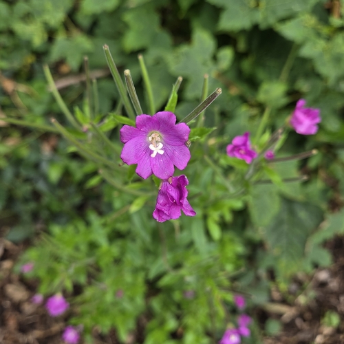
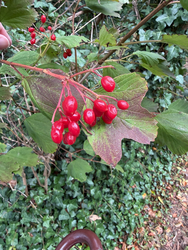
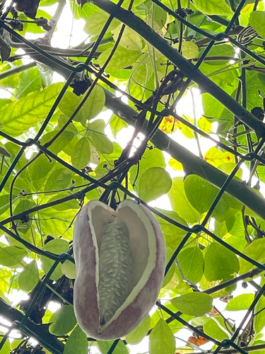
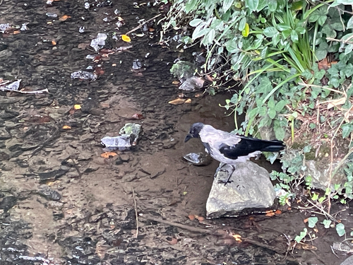
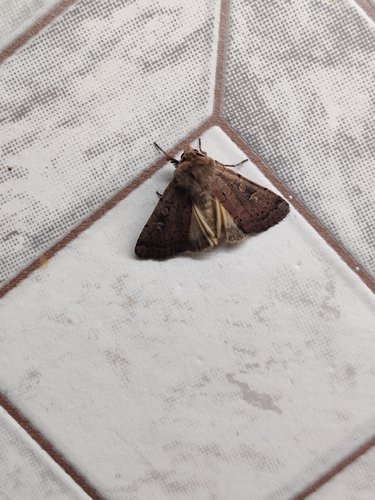
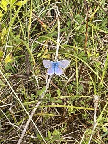
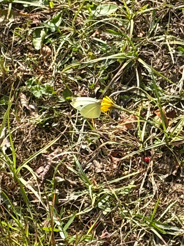
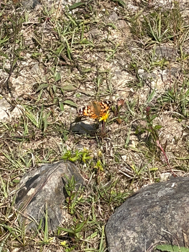
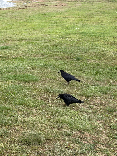
Research-grade observations from iNaturalist (within ~15 mi).
Events
Gallery
Sources
- • Wikipedia
- • USGS Earthquake Catalog (global feed)
- • GBIF (Global Biodiversity Information Facility)
- • iNaturalist
- • Open-Meteo / sunrise-sunset.org
- • Wikipedia Pageviews API
- • Open Library