Browse / Ireland / Sligo / Ballysadare
Ballysadare
Sligovillage

Ballysadare
Demographic figures from Central Statistics Office (Ireland). Overview below cites Wikipedia and may reference a different year.
City facts
Facts from Wikidata (CC0).
Overview
Ballysadare, locally also Ballisodare, is a town in County Sligo, Ireland. It is about 7 km (4 mi) south of Sligo town. The town developed on an important crossing of the Owenmore River. Ballysadare is in a townland and civil parish of the same name.
Read more on WikipediaHistory & geography
History
The Ox Mountains () are located west of the town. The town itself is named after the falls on the Owenmore River. Ballysadare is in the barony of Leyny formerly the túath of Luighne Connacht, and the barony of Tirerril, formerly the túath of Tír Olloíl. The Owenmore river forms the border between the baronies. Ballysadare also borders two other baronies in County Sligo, Carbury to the North and Tireragh to the West. Ballysadare is in the diocese of Achonry. Alternative names for the falls are Eas Mac Modairn (Falls of the son of Modarn) and Eas na nÉan (The Falls of the Bird). There appear to be three variants of English version of the settlement name still in use, Ballysadare being on the road signs coming to dominate. The use of Ballisodare remains in evidence on the names of some local sport clubs and even on at least one Sligo County Council document in 2018. Ballysodare appears to have been used for the railway station and there is evidence of its use on a map of 1887 and indexing of parish registers at the National Library of Ireland. Ballysadare is a possible location for the town noted as Nagnata on Claudius Ptolemy's 2nd century CE co-ordinate map of the world. Ballysadare was anciently a major gathering place for all surrounding districts. St. Columba visited Ballysadare in 575 AD at which "Before the Saint (Columba) returned to Britain he founded one church in the district of Carbury, and proceeded from thence to a place called Easdara, where all the prelates of the neighbouring regions, and vast numbers of holy men and women had come to meet him; and, to say nothing of the rest of the multitude, which was almost beyond counting, a great many distinguished saints of the race of Cumne are recorded to have been present." This extract is from…
Excerpted from the corresponding Wikipedia article (CC BY-SA).
Geography
Coordinates & boundaries from the US Census TIGER/Line shapefiles.
Climate
Air quality
Walkability
Amenities nearby
Wildlife & biodiversity
Earthquake history
Photos
Sights & places nearby
Notable people from here
Nearby places in Sligo
Geography & sun
Elevation, sunrise/sunset and daylight from Open-Meteo. Solar climatology from NASA POWER.
Nearby airports
Public attention
Pageview totals from the Wikimedia Pageviews API.
Books about Ballysadare


Search results from Open Library.
Recent natural events nearby
Ground air-quality sensors
Recently spotted species
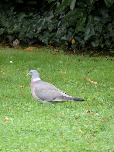
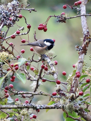
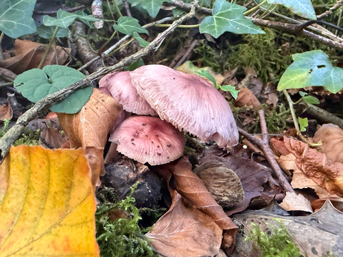
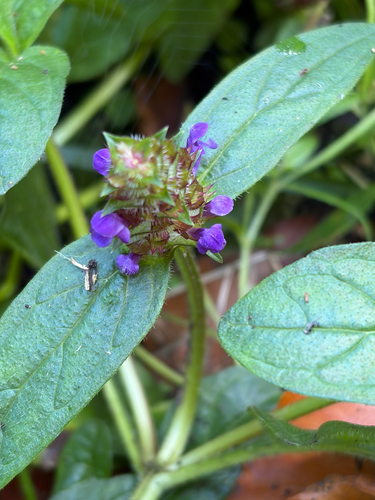
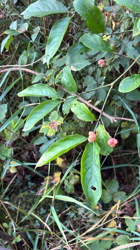
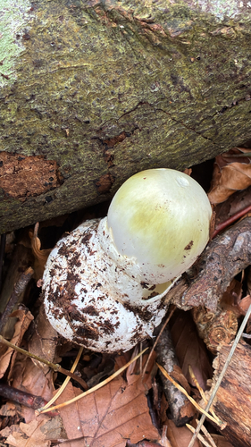
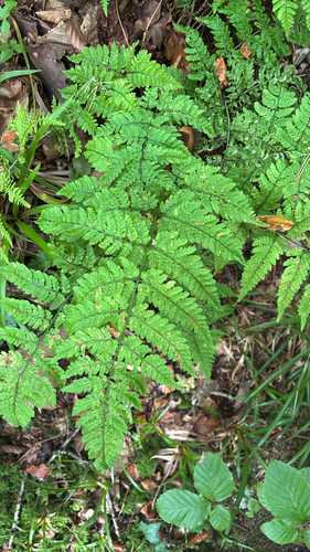
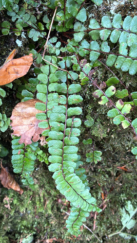
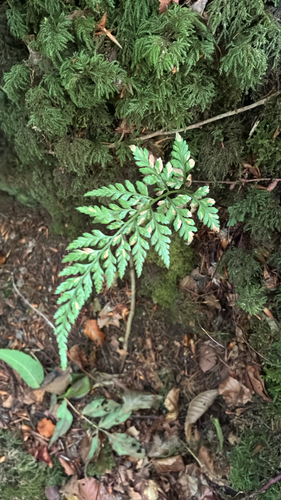
Research-grade observations from iNaturalist (within ~15 mi).
Events
Gallery
Sources
- • Wikipedia
- • Wikidata
- • iNaturalist
- • Open-Meteo / sunrise-sunset.org
- • Wikipedia Pageviews API
- • Open Library