Browse / Ireland / Tipperary / Borrisoleigh
Borrisoleigh
Tipperaryvillage

Borrisoleigh
Air quality index
Demographic figures from Central Statistics Office (Ireland). Overview below cites Wikipedia and may reference a different year.
City facts
Facts from Wikidata (CC0).
Overview
Borrisoleigh is a small town in County Tipperary, Ireland. At the 2016 census, it had a population of 679. It is in the ecclesiastical parish of Borrisoleigh and Ileigh in the Roman Catholic Archdiocese of Cashel and Emly.
Read more on WikipediaHistory & geography
History
Borrisoleigh derives its name from the ancient territory of Uí Luighdheach in which it was situated. An annual cattle fair was held here every 27 November until the 1960s. The first recorded settlement here was an abbey established by St. Cualan at Glean Caoin, anglicised as "Glankeen Abbey." Kilcuilan (St. Cualan's Church) was dedicated to him at a nearby holy well. A bell attributed to this saint, known as the "Bearnan Culan" or "Glankeen Bell" is now housed at the British Museum in London. A replica may be seen in the sanctuary of the parish church in Borrisoleigh. After the Norman invasion of Ireland in the 12th century, the O'Dwyer and DeBurgo clans established a fortress on the River Camoge as a defence against the native settlement at Ileigh. Its ruins may still be seen as you leave Borrisoleigh on the Templemore Road. In October 1846, absentee landlord Henry Dawson-Damer, 3rd Earl of Portarlington, threw a banquet at the Temperance Hall in Borrisoleigh while the surrounding parish was suffering through the Great Famine. He left a meager one hundred pound donation to the local Poor Relief Committee when he returned to England. The parish priest Michael Slattery was appointed Archbishop of Cashel and Emly in 1833. Slattery was succeeded by Father William Morris, who led 118 local men in signing the Cormack Petition in 1858. This document provides a vital snapshot of the town's population, including its largest families (in this order): Ryan, Bourke, Kennedy, Dwyer, Maher, Gleeson, Harrington, and Patterson. It also shows the top 10 male given names were: John, James, Patrick, William, Michael, Daniel, Martin, Philip, Thomas, Edmond (tie), and Jeremiah (tie). In 1877, Catholics from across the Province of Munster met to sign an appeal to Archbishop…
Excerpted from the corresponding Wikipedia article (CC BY-SA).
Geography
Coordinates & boundaries from the US Census TIGER/Line shapefiles.
Climate
10-year averages from ERA5 reanalysis (Open-Meteo).
Air quality
Current readings from Open-Meteo Air Quality API (Copernicus CAMS European reanalysis).
Walkability
Amenities nearby
Wildlife & biodiversity
Most-observed species
- RookCorvus frugilegus Linnaeus, 1758 · Aves167
- Eurasian BlackbirdTurdus merula Linnaeus, 1758 · Aves121
- Common Wood-PigeonColumba palumbus Linnaeus, 1758 · Aves118
- European RobinErithacus rubecula (Linnaeus, 1758) · Aves114
- Common ChaffinchFringilla coelebs Linnaeus, 1758 · Aves113
- Eurasian WrenTroglodytes troglodytes (Linnaeus, 1758) · Aves110
- Common BuzzardButeo buteo (Linnaeus, 1758) · Aves103
- Western JackdawColoeus monedula (Linnaeus, 1758) · Aves103
Citizen-science & research observations from the Global Biodiversity Information Facility (GBIF).
Earthquake history
Events from the USGS Earthquake Catalog (global) (FDSN Event Web Service).
Photos
Sights & places nearby
Notable people from here


People born within ~10 km, from Wikidata (CC0). Click any name for their Wikipedia article.
Nearby places in Tipperary
Geography & sun
Elevation, sunrise/sunset and daylight from Open-Meteo. Solar climatology from NASA POWER.
Nearby airports
Public attention
Pageview totals from the Wikimedia Pageviews API.
Books about Borrisoleigh
Search results from Open Library.
Recent natural events nearby
Ground air-quality sensors
Recently spotted species
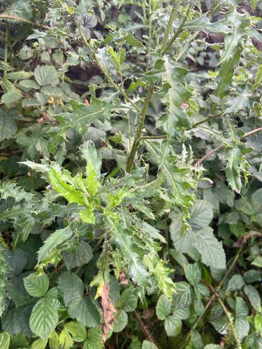
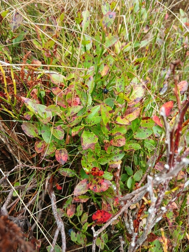
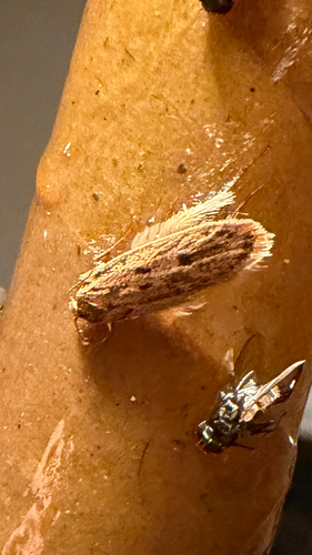
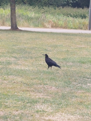
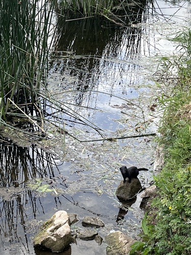
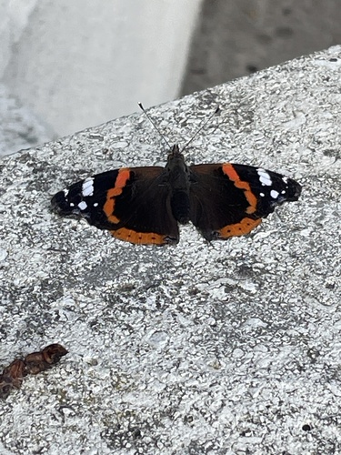
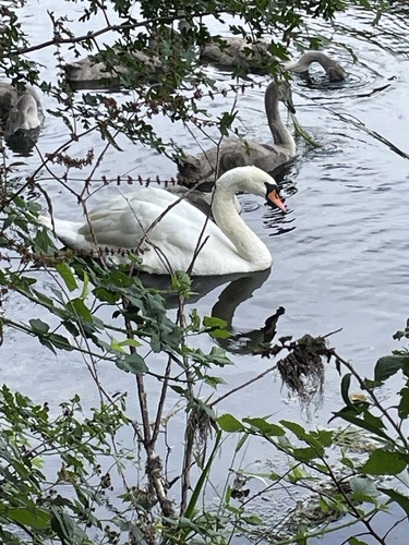
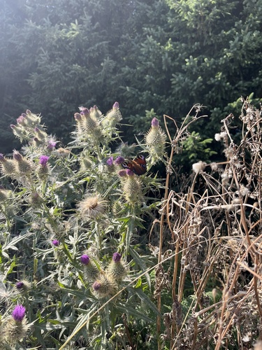
Research-grade observations from iNaturalist (within ~15 mi).
Events
Gallery
Sources
- • Wikipedia
- • Open-Meteo (ERA5 reanalysis)
- • Wikidata
- • Open-Meteo Air Quality (CAMS)
- • USGS Earthquake Catalog (global feed)
- • GBIF (Global Biodiversity Information Facility)
- • iNaturalist
- • Open-Meteo / sunrise-sunset.org
- • Wikipedia Pageviews API
- • Open Library