Browse / Ireland / Wicklow / Bray
Bray
Wicklowtown

Bray
Total population
33,512
Demographic figures from Central Statistics Office (Ireland). Overview below cites Wikipedia and may reference a different year.
City facts
Facts from Wikidata (CC0).
Overview
Bray is a coastal town in north County Wicklow, Ireland. It is situated about 20 km (12 mi) south of Dublin city centre on the east coast, and parts of the town's northern outskirts are in County Dublin. It has a population of 33,512 making it the tenth largest urban area within Ireland. Bray is home to Ardmore Studios, and some light industry is located in the town, with some business and retail parks on its southern periphery. Commuter links between Bray and Dublin are provided by rail, Dublin Bus, and the M11 and M50 motorways. The town is in a townland and civil parish of the same name.
Read more on WikipediaHistory & geography
History
During the medieval period of Irish history, Bray was situated on the southern border of the Pale, and the coastal district was governed directly by the English crown from Dublin Castle. Inland, the countryside was largely under the control of Gaelic Chieftains, such as the O'Toole and O'Byrne clans. Bray features on the 1598 map "A Modern Depiction of Ireland, One of the British Isles" by Abraham Ortelius as "Brey". William Brabazon, 1st Earl of Meath purchased the Killruddery Estate in Bray in 1627 with the establishment of the Earl title. The Dublin and Kingstown Railway, the first in Ireland, opened in 1834 and was extended as far as Bray in 1854. With the coming of the railway in the mid-19th century, the town grew to become a seaside resort. in a Moorish style at a cost of £10,000. They opened in 1859 and were demolished in 1980, though the baths closed long before that. Bray was a popular destination from the 1860s onwards. While small amenities such as regattas, firework displays and band performances were plentiful in the town, Bray failed to secure the necessary capital to develop major attractions and sustain tourism, leading to its decline in the early 1900s. Pleasure piers such as the Palace Pier were a mainstay of resorts at that time. Despite repeated efforts, Bray never acquired such a pier and abandoned plans to build one in 1906. Additional planned amenities which were never built included a concert hall, a theatre, an exhibition centre, a marine aquarium, winter gardens and an electrified tramway along the seafront.
Excerpted from the corresponding Wikipedia article (CC BY-SA).
Geography
Coordinates & boundaries from the US Census TIGER/Line shapefiles.
Climate
Air quality
Walkability
Amenities nearby
Wildlife & biodiversity
Earthquake history
Photos
Sights & places nearby
Notable people from here


People born within ~10 km, from Wikidata (CC0). Click any name for their Wikipedia article.
Nearby places in Wicklow
Geography & sun
Elevation, sunrise/sunset and daylight from Open-Meteo. Solar climatology from NASA POWER.
Nearby airports
Public attention
Pageview totals from the Wikimedia Pageviews API.
Books about Bray
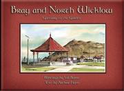


Search results from Open Library.
Recent natural events nearby
Ground air-quality sensors
Recently spotted species
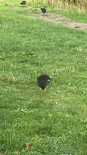
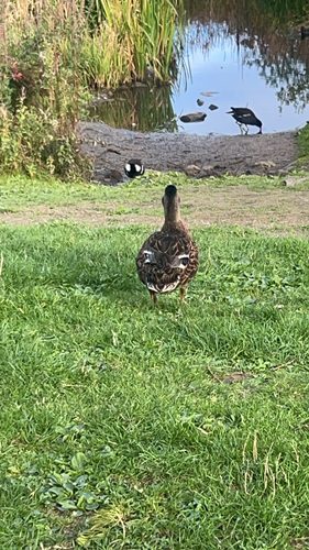
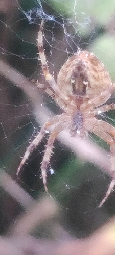
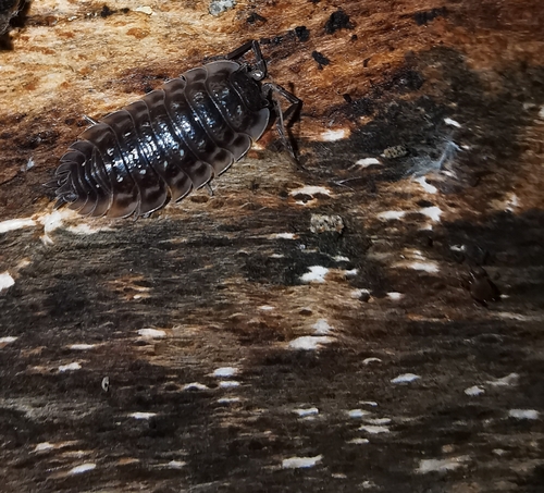
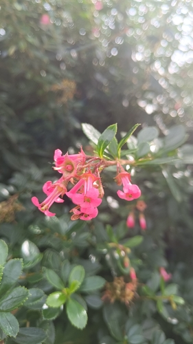

Research-grade observations from iNaturalist (within ~15 mi).
Events
Gallery
Sources
- • Wikipedia
- • Wikidata
- • iNaturalist
- • Open-Meteo / sunrise-sunset.org
- • Wikipedia Pageviews API
- • Open Library