Browse / Ireland / Cork / Buttevant
Buttevant
Corktown

Buttevant
Air quality index
Demographic figures from Central Statistics Office (Ireland). Overview below cites Wikipedia and may reference a different year.
City facts
Facts from Wikidata (CC0).
Overview
Buttevant is a medieval market town in County Cork, Ireland.
Read more on WikipediaHistory & geography
History
Henry III of England, by grant of 26 September 1234, conceded a market at Buttevant to David Og de Barry to be held on Sundays, and a fair on the vigil and day of St. Luke the Evangelist (17 October and 18 October), and on six subsequent days. This was done to further the economic prosperity of the borough and connected with a widespread network of such markets and fairs which indicate "an extensive network of commercial traffic and an important part of the infrastructure of the growing agrarian and mercantile economy". The most important markets and all fairs were associated with the major boroughs and can be used as a gauge of their economic and social significance as also the 1301 quo warranto proceedings in Cork at which John de Barry "claimed the basic baronial jurisdiction of gallows, infangetheof, vetitia namia and fines for shedding blood (where 'Englishmen' were involved) in his manors of Buttevant, Castlelyons, Rathbarry and Lislee". The town of Buttevant accumulated a series of such grants over several centuries. Fairs and markets were held at Buttevant for cattle sheep and pigs on 23 January, 30 April, 27 May, 27 August and 21 November. Cattle and sheep fairs were held on 27 March, 14 October, 17 December. Pig markets were held on 11 July. Fairs falling on Saturdays were held on Mondays. Fridays were devoted to egg markets. Horse fairs were held on the Fourth Monday in October. Cahirmee Horse Fair, the only surviving fair, is held on 12 July. The development of the settlement followed a pattern frequently repeated in the Norman colonies of North Cork and Limerick. The original nucleus of the town consisted of a keep situated on an elevation on the south side of the town. Opposite the keep, on a pre-Norman site, was built the parish church, dedicated to…
Excerpted from the corresponding Wikipedia article (CC BY-SA).
Geography
Coordinates & boundaries from the US Census TIGER/Line shapefiles.
Climate
10-year averages from ERA5 reanalysis (Open-Meteo).
Air quality
Current readings from Open-Meteo Air Quality API (Copernicus CAMS European reanalysis).
Walkability
Amenities nearby
Wildlife & biodiversity
Most-observed species
- European RobinErithacus rubecula (Linnaeus, 1758) · Aves358
- Eurasian BlackbirdTurdus merula Linnaeus, 1758 · Aves326
- Common Wood-PigeonColumba palumbus Linnaeus, 1758 · Aves308
- Common ChaffinchFringilla coelebs Linnaeus, 1758 · Aves289
- Eurasian WrenTroglodytes troglodytes (Linnaeus, 1758) · Aves283
- RookCorvus frugilegus Linnaeus, 1758 · Aves233
- Hooded CrowCorvus cornix Linnaeus, 1758 · Aves232
- Eurasian MagpiePica pica (Linnaeus, 1758) · Aves231
Citizen-science & research observations from the Global Biodiversity Information Facility (GBIF).
Earthquake history
Events from the USGS Earthquake Catalog (global) (FDSN Event Web Service).
Photos
Sights & places nearby
Notable people from here


People born within ~10 km, from Wikidata (CC0). Click any name for their Wikipedia article.
Nearby places in Cork
Geography & sun
Elevation, sunrise/sunset and daylight from Open-Meteo. Solar climatology from NASA POWER.
Nearby airports
Public attention
Pageview totals from the Wikimedia Pageviews API.
Books about Buttevant
Search results from Open Library.
Recent natural events nearby
Ground air-quality sensors
Recently spotted species
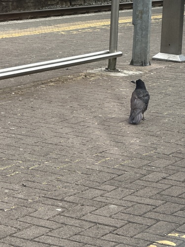
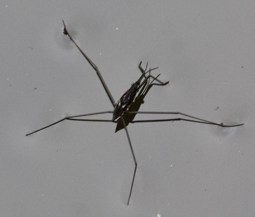
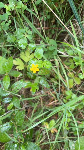
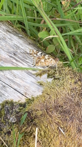
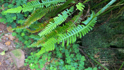
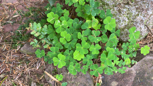
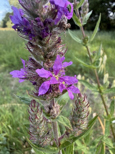
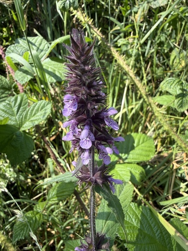
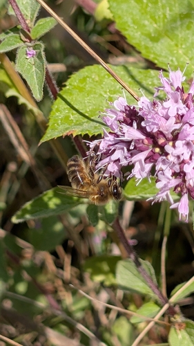
Research-grade observations from iNaturalist (within ~15 mi).
Events
Gallery
Geotagged photos within ~6 miles of Buttevant, from Wikimedia Commons contributors.
 0 mi
0 mi 0 mi
0 mi 0 mi
0 mi 0 mi
0 mi 0 mi
0 mi 0 mi
0 mi 0 mi
0 mi.jpg) 0.1 mi
0.1 mi.jpg) 0.1 mi
0.1 mi 0.1 mi
 0.1 mi
 0.1 mi
 0.1 mi
 0.1 mi
 0.1 mi
 0.1 mi
 0.1 mi
 0.1 mi
.jpg) 0.1 mi
0.1 mi.jpg) 0.1 mi
0.1 mi_(geograph_2335882).jpg) 0.1 mi
0.1 mi 0.1 mi
 0.2 mi
.jpg) 0.3 mi
0.3 miPhotos via Wikimedia Commons — see each image page for license & attribution.
Sources
- • Wikipedia
- • Open-Meteo (ERA5 reanalysis)
- • Wikimedia Commons
- • Wikidata
- • Open-Meteo Air Quality (CAMS)
- • USGS Earthquake Catalog (global feed)
- • GBIF (Global Biodiversity Information Facility)
- • iNaturalist
- • Open-Meteo / sunrise-sunset.org
- • Wikipedia Pageviews API
- • Open Library